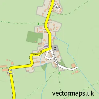
This Ludgershall street map is a detailed vector street map covering a 750m x 750m area. Select a larger area to create and download your own vector street map of Ludgershall.
The 750-metre map sample for Ludgershall covers 156 mapped buildings and approximately 17.1 km of road detail, of which 10 named roads are named. The immediate area includes 1 pub. The wider area around Ludgershall features 1 tourism point of interest and 1 food and drink venue. To create a larger or custom map of Ludgershall, the map builder lets you define your own coverage area and download editable SVG, PDF and PNG files.
Create a larger editable map of Ludgershall
Choose any area you need and generate a high-quality vector map instantly. Perfect for print, planning, design, business and personal use.

This Ludgershall street map in Buckinghamshire is available as downloadable SVG, PDF and PNG map files, or as a printed map for planning, business, display, education, local information and design work. You can also create a larger custom map area using the map selector.
What this Ludgershall map sample shows
Ludgershall lies within Ludgershall Cp parish, part of Grendon Underwood & Brill ward in the Buckinghamshire local authority area. The postcode geography for this area includes the HP postcode area, the HP18 postcode district and the HP18 9 postcode sector. Residents fall under the Nhs Buckinghamshire, Oxfordshire And Berkshire West Integrated Care Board for NHS services.
Local features near Ludgershall
Within 2 milesAmenities and services in and around Ludgershall.
Administrative and postcode information for Ludgershall
Ludgershall lies within Ludgershall Cp parish, part of Grendon Underwood & Brill ward in the Buckinghamshire local authority area. The postcode geography for this area includes the HP postcode area, the HP18 postcode district and the HP18 9 postcode sector. Residents fall under the Nhs Buckinghamshire, Oxfordshire And Berkshire West Integrated Care Board for NHS services.
Nearby street map samples around Ludgershall


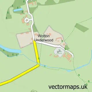
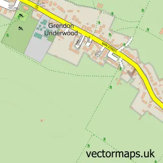
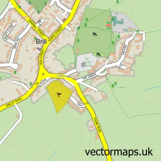
More street maps in Buckinghamshire
750 metre map area coverage
Boundary, postcode and point of interest information for the 750m x 750m rectangle centred on this sample map.
Boundaries containing map centre
Constituency: Mid Buckinghamshire Co Const
District: Buckinghamshire
Icb: NHS Thames Valley ICB
Parish: Ludgershall CP
Police Force: thames valley
Postcode District: HP18
Postcode Sector: HP18 9
Ward: Waddesdon Ward
Nearby boundaries intersecting sample
No additional intersecting boundaries found.
Postcode coverage
POI category counts
Butcher Shop: 1
Gardener: 1
Horse Racing Track: 1
Landmark And Historical Building: 1
Physical Therapy: 1
Pub: 1
Real Estate Agent: 1
Toy Store: 1
Travel Agents: 1
Sample points of interest
- Bull & Butcher
- Adslee
- Burnell Horse Transport
- Clearbrook Barn
- The Ludgershall Practice
- The Bull & Butcher
- Ludgershall Memorial Hall - Buckinghamshire
- Cheatwell Games
- Star Villa Holidays
Create a larger editable map of Ludgershall
This sample shows only a 750 metre area. To create a larger map of Ludgershall, use our map builder to choose your own coverage area, add titles and download editable SVG, PDF and PNG files.
Create a custom map of Ludgershall