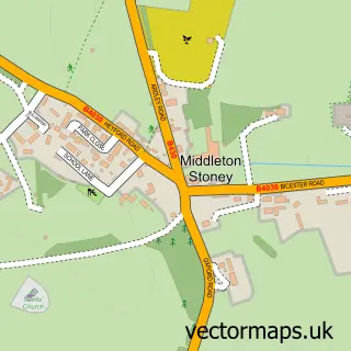
This Bucknell street map is a detailed vector street map covering a 750m x 750m area. Select a larger area to create and download your own vector street map of Bucknell.
The 750-metre map sample for Bucknell covers 107 mapped buildings and approximately 20.9 km of road detail, of which 7 named roads are named. The immediate area includes 1 pub and 1 MOT station within 2 miles. The wider area around Bucknell features 1 food and drink venue. To create a larger or custom map of Bucknell, the map builder lets you define your own coverage area and download editable SVG, PDF and PNG files.
Create a larger editable map of Bucknell
Choose any area you need and generate a high-quality vector map instantly. Perfect for print, planning, design, business and personal use.

This Bucknell street map in Oxfordshire is available as downloadable SVG, PDF and PNG map files, or as a printed map for planning, business, display, education, local information and design work. You can also create a larger custom map area using the map selector.
What this Bucknell map sample shows
Bucknell lies within Bucknell Cp parish, part of Fringford And Heyfords ward in the Cherwell District local authority area. The postcode geography for this area includes the OX postcode area, the OX27 postcode district and the OX27 7 postcode sector. Residents fall under the Nhs Buckinghamshire, Oxfordshire And Berkshire West Integrated Care Board for NHS services.
Local features near Bucknell
Within 2 milesAmenities and services in and around Bucknell.
Administrative and postcode information for Bucknell
Bucknell lies within Bucknell Cp parish, part of Fringford And Heyfords ward in the Cherwell District local authority area. The postcode geography for this area includes the OX postcode area, the OX27 postcode district and the OX27 7 postcode sector. Residents fall under the Nhs Buckinghamshire, Oxfordshire And Berkshire West Integrated Care Board for NHS services.
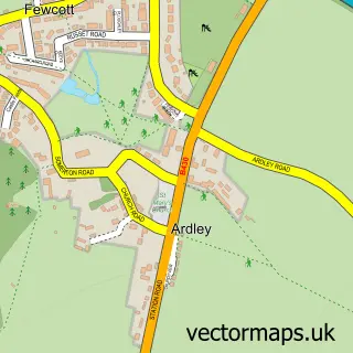
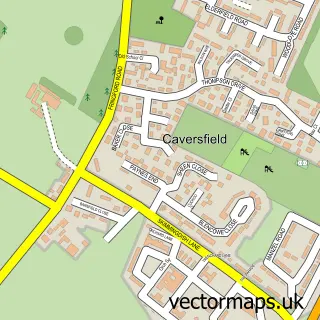
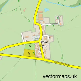
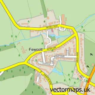
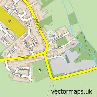
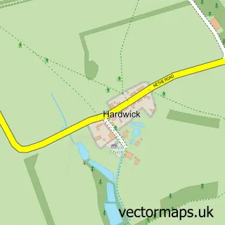
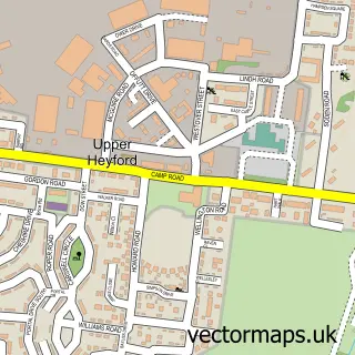
Nearby street map samples around Bucknell


More street maps in Oxfordshire
750 metre map area coverage
Boundary, postcode and point of interest information for the 750m x 750m rectangle centred on this sample map.
Boundaries containing map centre
Constituency: Bicester and Woodstock Co Const
County: Oxfordshire County
District: Cherwell District
Icb: NHS Thames Valley ICB
Parish: Bucknell CP
Police Force: thames valley
Postcode District: OX27
Postcode Sector: OX27 7
Ward: Fringford & Heyfords Ward
Nearby boundaries intersecting sample
No additional intersecting boundaries found.
Postcode coverage
POI category counts
Architectural Designer: 2
Anglican Church: 1
Arts And Entertainment: 1
Automotive: 1
Business Management Services: 1
Church Cathedral: 1
Educational Services: 1
Employment Agencies: 1
Event Technology Service: 1
Forestry Service: 1
Sample points of interest
- St Peter's Bucknell
- Home Design Studios
- Ora design architecture
- Nick Jones
- Liberty Horseboxes
- Red Engineering Design Ltd.
- St Peter's Church
- Aim Higher Training And Development
- A1 Locums
- Distinct Solutions
- Oxford Plant Sciences
- Formal Tailor Ltd
Create a larger editable map of Bucknell
This sample shows only a 750 metre area. To create a larger map of Bucknell, use our map builder to choose your own coverage area, add titles and download editable SVG, PDF and PNG files.
Create a custom map of Bucknell