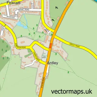
This Fewcott street map is a detailed vector street map covering a 750m x 750m area. Select a larger area to create and download your own vector street map of Fewcott.
The 750-metre map sample for Fewcott covers 198 mapped buildings and approximately 21.5 km of road detail, of which 13 named roads are named. The immediate area includes 1 pub. The wider area around Fewcott features 1 food and drink venue. To create a larger or custom map of Fewcott, the map builder lets you define your own coverage area and download editable SVG, PDF and PNG files.
Create a larger editable map of Fewcott
Choose any area you need and generate a high-quality vector map instantly. Perfect for print, planning, design, business and personal use.

This Fewcott street map in Oxfordshire is available as downloadable SVG, PDF and PNG map files, or as a printed map for planning, business, display, education, local information and design work. You can also create a larger custom map area using the map selector.
What this Fewcott map sample shows
Fewcott lies within Ardley Cp parish, part of Fringford And Heyfords ward in the Cherwell District local authority area. The postcode geography for this area includes the OX postcode area, the OX27 postcode district and the OX27 7 postcode sector. Residents fall under the Nhs Buckinghamshire, Oxfordshire And Berkshire West Integrated Care Board for NHS services.
Local features near Fewcott
Within 2 milesAmenities and services in and around Fewcott.
Administrative and postcode information for Fewcott
Fewcott lies within Ardley Cp parish, part of Fringford And Heyfords ward in the Cherwell District local authority area. The postcode geography for this area includes the OX postcode area, the OX27 postcode district and the OX27 7 postcode sector. Residents fall under the Nhs Buckinghamshire, Oxfordshire And Berkshire West Integrated Care Board for NHS services.
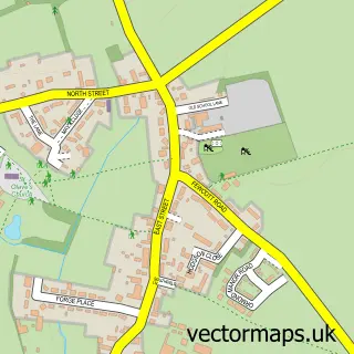
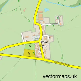
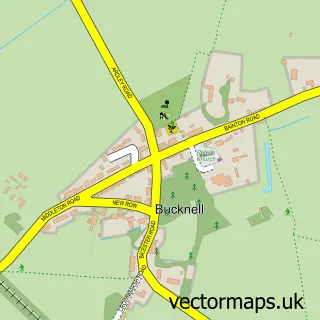
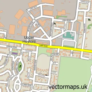
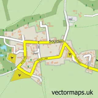
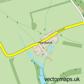
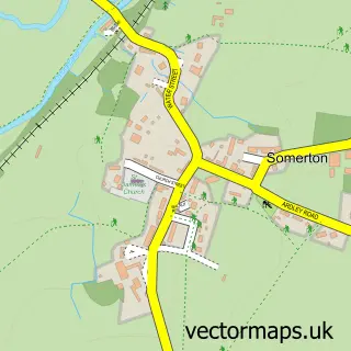
Nearby street map samples around Fewcott


More street maps in Oxfordshire
750 metre map area coverage
Boundary, postcode and point of interest information for the 750m x 750m rectangle centred on this sample map.
Boundaries containing map centre
Constituency: Bicester and Woodstock Co Const
County: Oxfordshire County
District: Cherwell District
Icb: NHS Thames Valley ICB
Parish: Ardley CP
Police Force: thames valley
Postcode District: OX27
Postcode Sector: OX27 7
Ward: Fringford & Heyfords Ward
Nearby boundaries intersecting sample
Parish: Stoke Lyne CP
Postcode coverage
POI category counts
Sports Club And League: 2
Bar: 1
Beauty Salon: 1
Building Supply Store: 1
Dog Trainer: 1
Garbage Collection Service: 1
Jewelry Store: 1
Laboratory: 1
Pet Groomer: 1
Playground: 1
Sample points of interest
- White Lion Inn
- Mels Manicures
- Endfield Farm
- Q-Me Agility Training
- Valencia Waste Management
- Lydia Designs
- Edotek
- Bea’s Pampered pooches
- Ardley Playground
- The White Lion Fewcott
- Fewcott House Nursing Home
- Premier Master Thatchers
Create a larger editable map of Fewcott
This sample shows only a 750 metre area. To create a larger map of Fewcott, use our map builder to choose your own coverage area, add titles and download editable SVG, PDF and PNG files.
Create a custom map of Fewcott