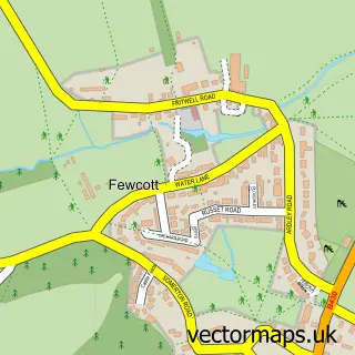
This Fritwell street map is a detailed vector street map covering a 750m x 750m area. Select a larger area to create and download your own vector street map of Fritwell.
The 750-metre map sample for Fritwell covers 230 mapped buildings and approximately 17.9 km of road detail, of which 9 named roads are named. The immediate area includes 1 school and 1 MOT station within 2 miles. To create a larger or custom map of Fritwell, the map builder lets you define your own coverage area and download editable SVG, PDF and PNG files.
Create a larger editable map of Fritwell
Choose any area you need and generate a high-quality vector map instantly. Perfect for print, planning, design, business and personal use.

This Fritwell street map in Oxfordshire is available as downloadable SVG, PDF and PNG map files, or as a printed map for planning, business, display, education, local information and design work. You can also create a larger custom map area using the map selector.
What this Fritwell map sample shows
Fritwell lies within Fritwell Cp parish, part of Deddington ward in the Cherwell District local authority area. The postcode geography for this area includes the OX postcode area, the OX27 postcode district and the OX27 7 postcode sector. Residents fall under the Nhs Buckinghamshire, Oxfordshire And Berkshire West Integrated Care Board for NHS services.
Local features near Fritwell
Within 2 milesAmenities and services in and around Fritwell.
Administrative and postcode information for Fritwell
Fritwell lies within Fritwell Cp parish, part of Deddington ward in the Cherwell District local authority area. The postcode geography for this area includes the OX postcode area, the OX27 postcode district and the OX27 7 postcode sector. Residents fall under the Nhs Buckinghamshire, Oxfordshire And Berkshire West Integrated Care Board for NHS services.
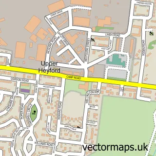
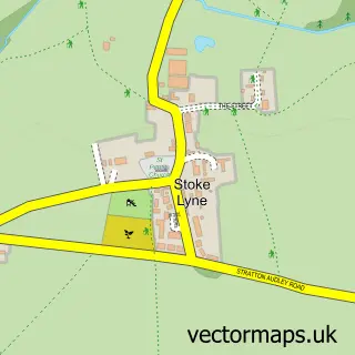
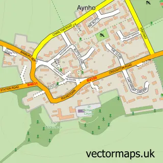
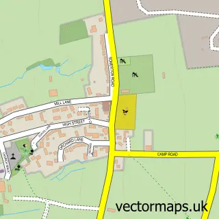
Nearby street map samples around Fritwell


More street maps in Oxfordshire
750 metre map area coverage
Boundary, postcode and point of interest information for the 750m x 750m rectangle centred on this sample map.
Boundaries containing map centre
Constituency: Banbury Co Const
County: Oxfordshire County
District: Cherwell District
Icb: NHS Thames Valley ICB
Parish: Fritwell CP
Police Force: thames valley
Postcode District: OX27
Postcode Sector: OX27 7
Ward: Deddington Ward
Nearby boundaries intersecting sample
No additional intersecting boundaries found.
Postcode coverage
POI category counts
Arts And Entertainment: 2
Post Office: 2
Professional Services: 2
Shipping Center: 2
Advertising Agency: 1
Anglican Church: 1
Automotive Repair: 1
Builders: 1
Church Cathedral: 1
Clothing Store: 1
Sample points of interest
- Esscomm
- St Olave's Parish Church, Fritwell
- House of Marvels
- Kings Head
- Eau-Rouge Motorsport
- Cala Homes | Stable Gardens
- Fritwell Church
- Hilary's Hat Hire
- Fritwell Community Hall
- Theodore Lodge 8943
- Fritwell Church of England Primary School
- Infight Adjudication
Create a larger editable map of Fritwell
This sample shows only a 750 metre area. To create a larger map of Fritwell, use our map builder to choose your own coverage area, add titles and download editable SVG, PDF and PNG files.
Create a custom map of Fritwell