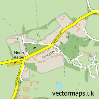
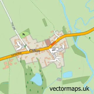
This Somerton street map is a detailed vector street map covering a 750m x 750m area. Select a larger area to create and download your own vector street map of Somerton.
The 750-metre map sample for Somerton covers 102 mapped buildings and approximately 24.9 km of road detail, of which 5 named roads are named. The immediate area includes 1 MOT station within 2 miles. The wider area around Somerton features 1 tourism point of interest. To create a larger or custom map of Somerton, the map builder lets you define your own coverage area and download editable SVG, PDF and PNG files.
Create a larger editable map of Somerton
Choose any area you need and generate a high-quality vector map instantly. Perfect for print, planning, design, business and personal use.

This Somerton street map in Oxfordshire is available as downloadable SVG, PDF and PNG map files, or as a printed map for planning, business, display, education, local information and design work. You can also create a larger custom map area using the map selector.
What this Somerton map sample shows
Somerton lies within Somerton Cp parish, part of Deddington ward in the Cherwell District local authority area. The postcode geography for this area includes the OX postcode area, the OX25 postcode district and the OX25 6 postcode sector. Residents fall under the Nhs Buckinghamshire, Oxfordshire And Berkshire West Integrated Care Board for NHS services.
Local features near Somerton
Within 2 milesAmenities and services in and around Somerton.
Administrative and postcode information for Somerton
Somerton lies within Somerton Cp parish, part of Deddington ward in the Cherwell District local authority area. The postcode geography for this area includes the OX postcode area, the OX25 postcode district and the OX25 6 postcode sector. Residents fall under the Nhs Buckinghamshire, Oxfordshire And Berkshire West Integrated Care Board for NHS services.
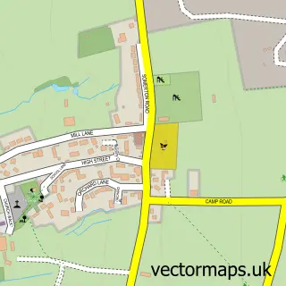
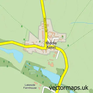
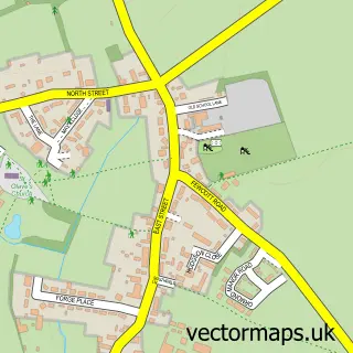
Nearby street map samples around Somerton


More street maps in Oxfordshire
750 metre map area coverage
Boundary, postcode and point of interest information for the 750m x 750m rectangle centred on this sample map.
Boundaries containing map centre
Constituency: Banbury Co Const
County: Oxfordshire County
District: Cherwell District
Icb: NHS Thames Valley ICB
Parish: Somerton CP
Police Force: thames valley
Postcode District: OX25
Postcode Sector: OX25 6
Ward: Deddington Ward
Nearby boundaries intersecting sample
Parish: North Aston CP
Postcode coverage
POI category counts
Anglican Church: 1
Builders: 1
Church Cathedral: 1
Community Services Non Profits: 1
Doctor: 1
Gutter Service: 1
Health And Medical: 1
Landmark And Historical Building: 1
Pet Groomer: 1
Physical Therapy: 1
Sample points of interest
- St James the Apostle, Somerton
- P B G Projects Ltd.
- St James the Apostle Church
- Change 1's Life
- North Oxford Physiotherapy & Sports Injury Clinic
- Radcot Guttering
- Manage Health
- Hardwick, Cherwell
- Dirty Dog Mobile Wash
- Oxford Ergonomics
- Somerton Post Office
- Metal Monkey
Create a larger editable map of Somerton
This sample shows only a 750 metre area. To create a larger map of Somerton, use our map builder to choose your own coverage area, add titles and download editable SVG, PDF and PNG files.
Create a custom map of Somerton