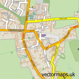
This Clifton street map is a detailed vector street map covering a 750m x 750m area. Select a larger area to create and download your own vector street map of Clifton.
The 750-metre map sample for Clifton covers 115 mapped buildings and approximately 11.8 km of road detail, of which 6 named roads are named. The immediate area includes 1 GP surgery within 2 miles and 1 MOT station within 2 miles. The wider area around Clifton features 2 tourism points of interest and 1 campsite within 2 miles. To create a larger or custom map of Clifton, the map builder lets you define your own coverage area and download editable SVG, PDF and PNG files.
Create a larger editable map of Clifton
Choose any area you need and generate a high-quality vector map instantly. Perfect for print, planning, design, business and personal use.

This Clifton street map in Oxfordshire is available as downloadable SVG, PDF and PNG map files, or as a printed map for planning, business, display, education, local information and design work. You can also create a larger custom map area using the map selector.
What this Clifton map sample shows
Clifton lies within Deddington Cp parish, part of Deddington ward in the Cherwell District local authority area. The postcode geography for this area includes the OX postcode area, the OX15 postcode district and the OX15 0 postcode sector. Residents fall under the Nhs Buckinghamshire, Oxfordshire And Berkshire West Integrated Care Board for NHS services.
Local features near Clifton
Within 2 milesAmenities and services in and around Clifton.
Administrative and postcode information for Clifton
Clifton lies within Deddington Cp parish, part of Deddington ward in the Cherwell District local authority area. The postcode geography for this area includes the OX postcode area, the OX15 postcode district and the OX15 0 postcode sector. Residents fall under the Nhs Buckinghamshire, Oxfordshire And Berkshire West Integrated Care Board for NHS services.
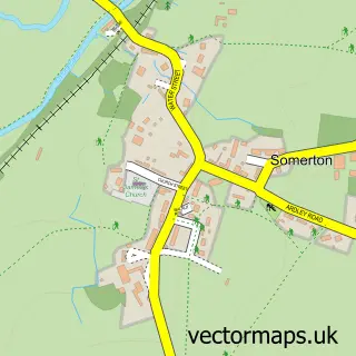
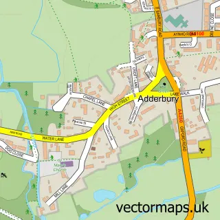
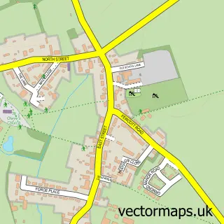
Nearby street map samples around Clifton


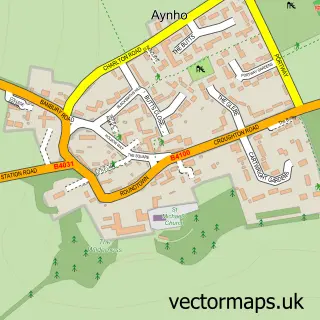
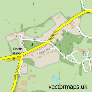
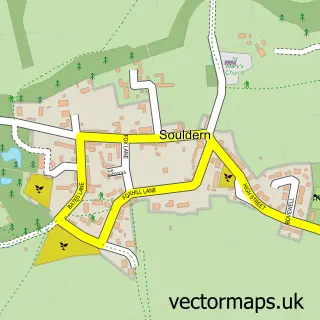
More street maps in Oxfordshire
750 metre map area coverage
Boundary, postcode and point of interest information for the 750m x 750m rectangle centred on this sample map.
Boundaries containing map centre
Constituency: Banbury Co Const
County: Oxfordshire County
District: Cherwell District
Icb: NHS Thames Valley ICB
Parish: Deddington CP
Police Force: thames valley
Postcode District: OX15
Postcode Sector: OX15 0
Ward: Deddington Ward
Nearby boundaries intersecting sample
Constituency: South Northamptonshire Co Const
District: West Northamptonshire
Icb: NHS Northamptonshire ICB
Parish: Aynho CP
Police Force: northamptonshire
Postcode District: OX17
Postcode Sector: OX17 3
Ward: Middleton Cheney Ward
Postcode coverage
POI category counts
Building Supply Store: 2
Business Management Services: 2
Advertising Agency: 1
Architect: 1
Assisted Living Facility: 1
Business: 1
Campground: 1
Dog Trainer: 1
Interior Design: 1
Landmark And Historical Building: 1
Sample points of interest
- ETC Design & Development
- Robert Franklin : Architect : Designer
- Rural Care
- Dpa Lighting Consultants
- Holmes & Holmes
- Phonecast
- D P A Lighting Consultants
- Etc Design & Development Ltd.
- The Duke Campsite
- Canine Paradise
- Nadya Sawney Interiors
- Clifton Mill
Create a larger editable map of Clifton
This sample shows only a 750 metre area. To create a larger map of Clifton, use our map builder to choose your own coverage area, add titles and download editable SVG, PDF and PNG files.
Create a custom map of Clifton