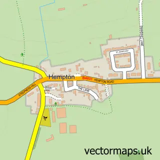
This Adderbury street map is a detailed vector street map covering a 750m x 750m area. Select a larger area to create and download your own vector street map of Adderbury.
The 750-metre map sample for Adderbury covers 196 mapped buildings and approximately 18.7 km of road detail, of which 22 named roads are named. The immediate area includes 1 school, 4 pubs and 1 MOT station, with 2 within 2 miles. The wider area around Adderbury features 3 tourism points of interest, 6 food and drink venues and 1 campsite within 2 miles. To create a larger or custom map of Adderbury, the map builder lets you define your own coverage area and download editable SVG, PDF and PNG files.
Create a larger editable map of Adderbury
Choose any area you need and generate a high-quality vector map instantly. Perfect for print, planning, design, business and personal use.

This Adderbury street map in Oxfordshire is available as downloadable SVG, PDF and PNG map files, or as a printed map for planning, business, display, education, local information and design work. You can also create a larger custom map area using the map selector.
What this Adderbury map sample shows
Adderbury lies within Adderbury Cp parish, part of Adderbury, Bloxham And Bodicote ward in the Cherwell District local authority area. The postcode geography for this area includes the OX postcode area, the OX17 postcode district and the OX17 3 postcode sector. Residents fall under the Nhs Buckinghamshire, Oxfordshire And Berkshire West Integrated Care Board for NHS services.
Local features near Adderbury
Within 2 milesAmenities and services in and around Adderbury.
Administrative and postcode information for Adderbury
Adderbury lies within Adderbury Cp parish, part of Adderbury, Bloxham And Bodicote ward in the Cherwell District local authority area. The postcode geography for this area includes the OX postcode area, the OX17 postcode district and the OX17 3 postcode sector. Residents fall under the Nhs Buckinghamshire, Oxfordshire And Berkshire West Integrated Care Board for NHS services.
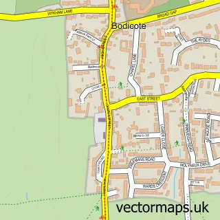
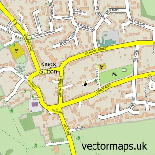
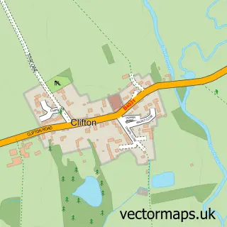
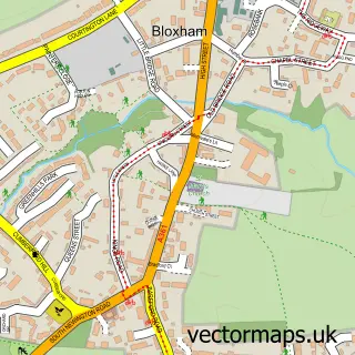
Nearby street map samples around Adderbury


More street maps in Oxfordshire
750 metre map area coverage
Boundary, postcode and point of interest information for the 750m x 750m rectangle centred on this sample map.
Boundaries containing map centre
Constituency: Banbury Co Const
County: Oxfordshire County
District: Cherwell District
Icb: NHS Thames Valley ICB
Parish: Adderbury CP
Police Force: thames valley
Postcode District: OX17
Postcode Sector: OX17 3
Ward: Adderbury, Bloxham & Bodicote Ward
Nearby boundaries intersecting sample
No additional intersecting boundaries found.
Postcode coverage
POI category counts
Church Cathedral: 4
Pub: 4
Post Office: 3
Community Services Non Profits: 2
Elementary School: 2
Resort: 2
Anglican Church: 1
Assisted Living Facility: 1
Attractions And Activities: 1
Beauty Salon: 1
Sample points of interest
- Adderbury: St Mary
- Lake House
- Lucy Plackett Playing Field
- Step Ahead Hair
- The Hook Norton Brewery Company
- Tech Stuff
- Harpers Coffee House
- The Adderbury Chiropractic Clinic
- Adderbury Methodist Church
- St Mary's Church
- St Marys Adderbury
- The Church of St Mary the Virgin
Create a larger editable map of Adderbury
This sample shows only a 750 metre area. To create a larger map of Adderbury, use our map builder to choose your own coverage area, add titles and download editable SVG, PDF and PNG files.
Create a custom map of Adderbury