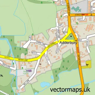
This Bodicote street map is a detailed vector street map covering a 750m x 750m area. Select a larger area to create and download your own vector street map of Bodicote.
The 750-metre map sample for Bodicote covers 324 mapped buildings and approximately 25.2 km of road detail, of which 28 named roads are named. The immediate area includes 3 GP surgeries within 2 miles, 3 pubs and 15 MOT stations within 2 miles. The wider area around Bodicote features 3 food and drink venues and 1 campsite within 2 miles. To create a larger or custom map of Bodicote, the map builder lets you define your own coverage area and download editable SVG, PDF and PNG files.
Create a larger editable map of Bodicote
Choose any area you need and generate a high-quality vector map instantly. Perfect for print, planning, design, business and personal use.

This Bodicote street map in Oxfordshire is available as downloadable SVG, PDF and PNG map files, or as a printed map for planning, business, display, education, local information and design work. You can also create a larger custom map area using the map selector.
What this Bodicote map sample shows
Bodicote lies within Bodicote Cp parish, part of Adderbury, Bloxham And Bodicote ward in the Cherwell District local authority area. The postcode geography for this area includes the OX postcode area, the OX15 postcode district and the OX15 4 postcode sector. Residents fall under the Nhs Buckinghamshire, Oxfordshire And Berkshire West Integrated Care Board for NHS services.
Local features near Bodicote
Within 2 milesAmenities and services in and around Bodicote.
Administrative and postcode information for Bodicote
Bodicote lies within Bodicote Cp parish, part of Adderbury, Bloxham And Bodicote ward in the Cherwell District local authority area. The postcode geography for this area includes the OX postcode area, the OX15 postcode district and the OX15 4 postcode sector. Residents fall under the Nhs Buckinghamshire, Oxfordshire And Berkshire West Integrated Care Board for NHS services.
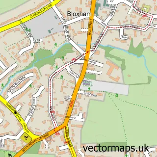
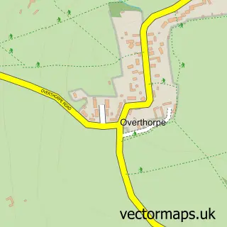
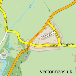
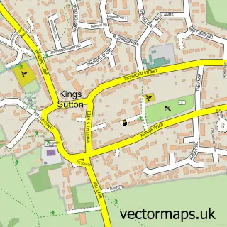
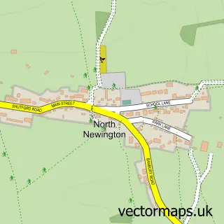
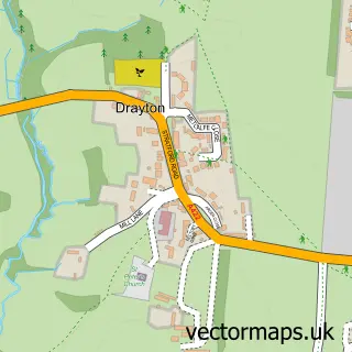
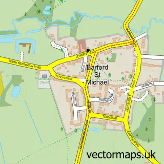
Nearby street map samples around Bodicote


More street maps in Oxfordshire
750 metre map area coverage
Boundary, postcode and point of interest information for the 750m x 750m rectangle centred on this sample map.
Boundaries containing map centre
Constituency: Banbury Co Const
County: Oxfordshire County
District: Cherwell District
Icb: NHS Thames Valley ICB
Parish: Bodicote CP
Police Force: thames valley
Postcode District: OX15
Postcode Sector: OX15 4
Ward: Adderbury, Bloxham & Bodicote Ward
Nearby boundaries intersecting sample
Parish: Banbury CP
Postcode coverage
POI category counts
Pub: 3
Church Cathedral: 2
Convenience Store: 2
Dance Club: 2
Post Office: 2
Acupuncture: 1
Anglican Church: 1
Arts And Crafts: 1
Atms: 1
Automotive Repair: 1
Sample points of interest
- Katherine Hutchings
- Bodicote: St John the Baptist
- Castle Framing
- ATM (S&S Read Spar Bodicote)
- Dent Worx Oxford ltd. Mobile Paintless Dent Removal
- Bodicote Hair
- Village beaut'e aesthetics
- John Whitworth Nch Tree Surge
- All That Glitters
- St John the Baptist C of E Church Bodicote
- St John the Baptist's Church
- Londis Bodicote
Create a larger editable map of Bodicote
This sample shows only a 750 metre area. To create a larger map of Bodicote, use our map builder to choose your own coverage area, add titles and download editable SVG, PDF and PNG files.
Create a custom map of Bodicote