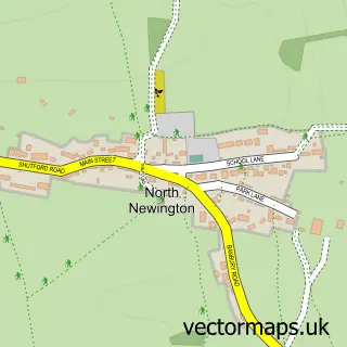
This Broughton street map is a detailed vector street map covering a 750m x 750m area. Select a larger area to create and download your own vector street map of Broughton.
The 750-metre map sample for Broughton covers 107 mapped buildings and approximately 12.6 km of road detail, of which 5 named roads are named. The immediate area includes 1 GP surgery within 2 miles and 2 pubs. The wider area around Broughton features 1 tourism point of interest and 2 food and drink venues. To create a larger or custom map of Broughton, the map builder lets you define your own coverage area and download editable SVG, PDF and PNG files.
Create a larger editable map of Broughton
Choose any area you need and generate a high-quality vector map instantly. Perfect for print, planning, design, business and personal use.

This Broughton street map in Oxfordshire is available as downloadable SVG, PDF and PNG map files, or as a printed map for planning, business, display, education, local information and design work. You can also create a larger custom map area using the map selector.
What this Broughton map sample shows
Broughton lies within Broughton Cp parish, part of Cropredy, Sibfords And Wroxton ward in the Cherwell District local authority area. The postcode geography for this area includes the OX postcode area, the OX15 postcode district and the OX15 5 postcode sector. Residents fall under the Nhs Buckinghamshire, Oxfordshire And Berkshire West Integrated Care Board for NHS services.
Local features near Broughton
Within 2 milesAmenities and services in and around Broughton.
Administrative and postcode information for Broughton
Broughton lies within Broughton Cp parish, part of Cropredy, Sibfords And Wroxton ward in the Cherwell District local authority area. The postcode geography for this area includes the OX postcode area, the OX15 postcode district and the OX15 5 postcode sector. Residents fall under the Nhs Buckinghamshire, Oxfordshire And Berkshire West Integrated Care Board for NHS services.
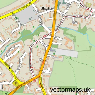
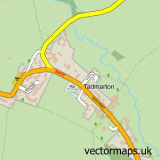
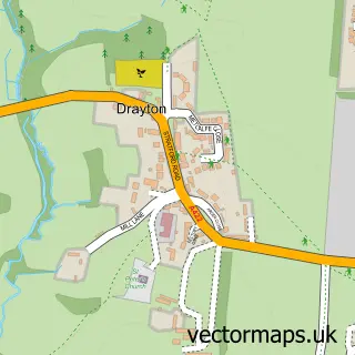
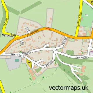
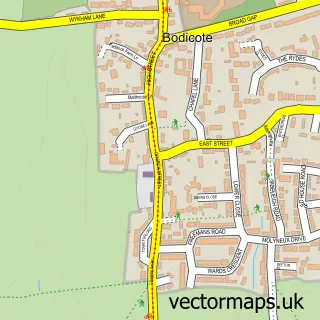
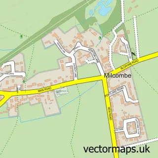
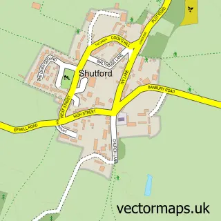
Nearby street map samples around Broughton


More street maps in Oxfordshire
750 metre map area coverage
Boundary, postcode and point of interest information for the 750m x 750m rectangle centred on this sample map.
Boundaries containing map centre
Constituency: Banbury Co Const
County: Oxfordshire County
District: Cherwell District
Icb: NHS Thames Valley ICB
Parish: Broughton CP
Police Force: thames valley
Postcode District: OX15
Postcode Sector: OX15 5
Ward: Cropredy, Sibfords & Wroxton Ward
Nearby boundaries intersecting sample
Postcode Sector: OX15 6
Postcode coverage
POI category counts
Pub: 2
Anglican Church: 1
Gastropub: 1
Golf Course: 1
Hat Shop: 1
Park: 1
Photography Store And Services: 1
Professional Services: 1
Property Management: 1
Sample points of interest
- St.Mary's church, Broughton with North Newington
- The Duck on the Pond
- Mark McGeehan P G a Golf Professional
- The Hat Box
- Broughton Castle
- Nathan Allan Photography
- The Restoration Station
- Laws & Fiennes
- The Saye & Sele Arms
- The Saye and Sele Arms
Create a larger editable map of Broughton
This sample shows only a 750 metre area. To create a larger map of Broughton, use our map builder to choose your own coverage area, add titles and download editable SVG, PDF and PNG files.
Create a custom map of Broughton