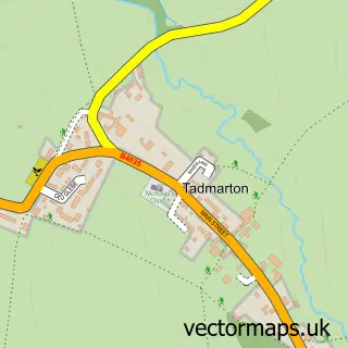
This Milcombe street map is a detailed vector street map covering a 750m x 750m area. Select a larger area to create and download your own vector street map of Milcombe.
The 750-metre map sample for Milcombe covers 187 mapped buildings and approximately 16.5 km of road detail, of which 11 named roads are named. The immediate area includes 1 GP surgery within 2 miles, 1 pub and 1 MOT station within 2 miles. The wider area around Milcombe features 1 food and drink venue, 1 hotel and 1 campsite within 2 miles. To create a larger or custom map of Milcombe, the map builder lets you define your own coverage area and download editable SVG, PDF and PNG files.
Create a larger editable map of Milcombe
Choose any area you need and generate a high-quality vector map instantly. Perfect for print, planning, design, business and personal use.

This Milcombe street map in Oxfordshire is available as downloadable SVG, PDF and PNG map files, or as a printed map for planning, business, display, education, local information and design work. You can also create a larger custom map area using the map selector.
What this Milcombe map sample shows
Milcombe lies within Milcombe Cp parish, part of Deddington ward in the Cherwell District local authority area. The postcode geography for this area includes the OX postcode area, the OX15 postcode district and the OX15 4 postcode sector. Residents fall under the Nhs Buckinghamshire, Oxfordshire And Berkshire West Integrated Care Board for NHS services.
Local features near Milcombe
Within 2 milesAmenities and services in and around Milcombe.
Administrative and postcode information for Milcombe
The local authority covering Milcombe is Cherwell District, within the county of Oxfordshire. The settlement lies within Deddington ward and Milcombe Cp civil parish. The OX15 postcode district and OX15 4 postcode sector serve the immediate area. NHS provision in the area is delivered through Oxford University Hospitals Nhs Foundation Trust.
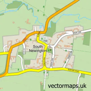
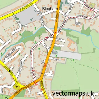
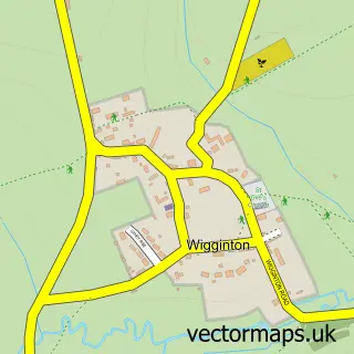
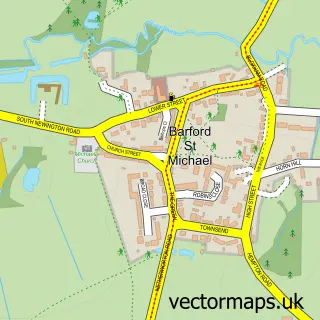
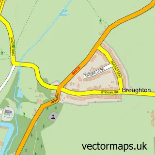
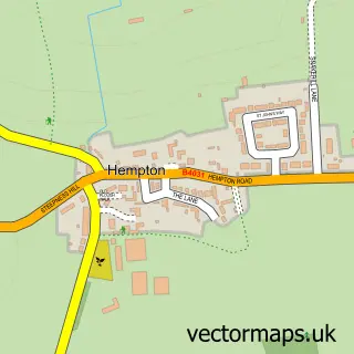
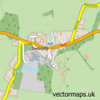
Nearby street map samples around Milcombe


More street maps in Oxfordshire
750 metre map area coverage
Boundary, postcode and point of interest information for the 750m x 750m rectangle centred on this sample map.
Boundaries containing map centre
Constituency: Banbury Co Const
County: Oxfordshire County
District: Cherwell District
Icb: NHS Thames Valley ICB
Parish: Milcombe CP
Police Force: thames valley
Postcode District: OX15
Postcode Sector: OX15 4
Ward: Deddington Ward
Nearby boundaries intersecting sample
No additional intersecting boundaries found.
Postcode coverage
POI category counts
Convenience Store: 2
Grocery Store: 2
Professional Services: 2
Acupuncture: 1
Advertising Agency: 1
Anglican Church: 1
Appliance Repair Service: 1
Childrens Clothing Store: 1
Construction Services: 1
Counseling And Mental Health: 1
Sample points of interest
- Clare Ward Acupuncture
- Green Drum
- Milcombe: St Laurence
- Peter R Booth
- Kids Exclusive
- WBS property services
- Best-one
- New Road Store, Best-one
- Quiet Minds Counselling and Psychotherapy
- New Recruits Banbury
- G P Marquees
- Peter R Booth
Create a larger editable map of Milcombe
This sample shows only a 750 metre area. To create a larger map of Milcombe, use our map builder to choose your own coverage area, add titles and download editable SVG, PDF and PNG files.
Create a custom map of Milcombe