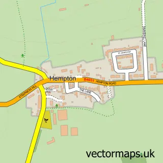
This Barford St Michael street map is a detailed vector street map covering a 750m x 750m area. Select a larger area to create and download your own vector street map of Barford St Michael.
The 750-metre map sample for Barford St Michael covers 167 mapped buildings and approximately 21.6 km of road detail, of which 14 named roads are named. The immediate area includes 1 GP surgery within 2 miles, 1 pub and 1 MOT station within 2 miles. The wider area around Barford St Michael features 1 food and drink venue and 1 campsite within 2 miles. To create a larger or custom map of Barford St Michael, the map builder lets you define your own coverage area and download editable SVG, PDF and PNG files.
Create a larger editable map of Barford St Michael
Choose any area you need and generate a high-quality vector map instantly. Perfect for print, planning, design, business and personal use.

This Barford St Michael street map in Oxfordshire is available as downloadable SVG, PDF and PNG map files, or as a printed map for planning, business, display, education, local information and design work. You can also create a larger custom map area using the map selector.
What this Barford St Michael map sample shows
Barford St Michael lies within Barford St. John And St. Michael Cp parish, part of Deddington ward in the Cherwell District local authority area. The postcode geography for this area includes the OX postcode area, the OX15 postcode district and the OX15 0 postcode sector. Residents fall under the Nhs Buckinghamshire, Oxfordshire And Berkshire West Integrated Care Board for NHS services.
Local features near Barford St Michael
Within 2 milesAmenities and services in and around Barford St Michael.
Administrative and postcode information for Barford St Michael
Barford St Michael lies within Barford St. John And St. Michael Cp parish, part of Deddington ward in the Cherwell District local authority area. The postcode geography for this area includes the OX postcode area, the OX15 postcode district and the OX15 0 postcode sector. Residents fall under the Nhs Buckinghamshire, Oxfordshire And Berkshire West Integrated Care Board for NHS services.
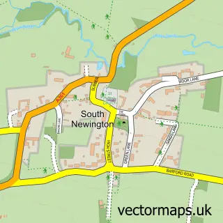
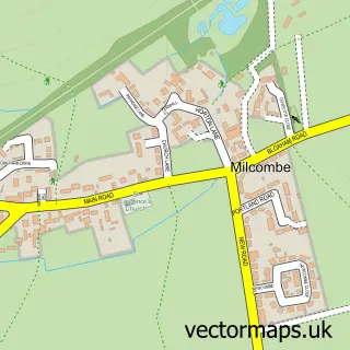
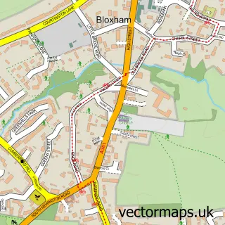
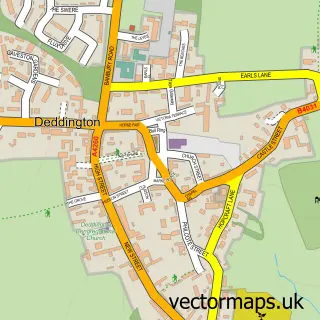
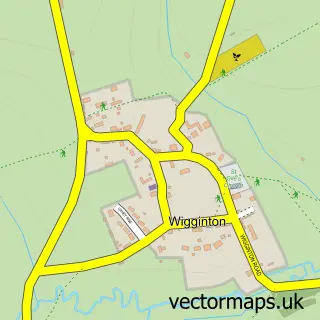
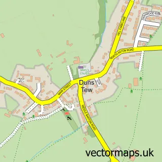
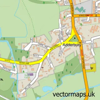
Nearby street map samples around Barford St Michael


More street maps in Oxfordshire
750 metre map area coverage
Boundary, postcode and point of interest information for the 750m x 750m rectangle centred on this sample map.
Boundaries containing map centre
Constituency: Banbury Co Const
County: Oxfordshire County
District: Cherwell District
Icb: NHS Thames Valley ICB
Parish: Barford St. John and St. Michael CP
Police Force: thames valley
Postcode District: OX15
Postcode Sector: OX15 0
Ward: Deddington Ward
Nearby boundaries intersecting sample
No additional intersecting boundaries found.
Postcode coverage
POI category counts
Business Consulting: 2
Truck Dealer For Businesses: 2
Accountant: 1
Anglican Church: 1
Bar: 1
Building Supply Store: 1
Business Management Services: 1
Ev Charging Station: 1
Music Production: 1
Pet Sitting: 1
Sample points of interest
- Aims Accountants
- Barford St Michael
- The George
- Nick Butler Kitchen Installations
- Aldebaran Consulting International
- TypingWizz
- Aldebaran Consulting International
- George Inn Ltd - For visitor use only
- Woodworm Studios
- Harleys Home Boarding for Dogs
- Ben Nicholson Photographer
- The George Inn
Create a larger editable map of Barford St Michael
This sample shows only a 750 metre area. To create a larger map of Barford St Michael, use our map builder to choose your own coverage area, add titles and download editable SVG, PDF and PNG files.
Create a custom map of Barford St Michael