This Swalcliffe street map is a detailed vector street map covering a 750m x 750m area. Select a larger area to create and download your own vector street map of Swalcliffe.
The 750-metre map sample for Swalcliffe covers 92 mapped buildings and approximately 19.0 km of road detail, of which 8 named roads are named. The immediate area includes 1 school, 1 GP surgery within 2 miles and 1 pub. The wider area around Swalcliffe features 1 food and drink venue. To create a larger or custom map of Swalcliffe, the map builder lets you define your own coverage area and download editable SVG, PDF and PNG files.
Create a larger editable map of Swalcliffe
Choose any area you need and generate a high-quality vector map instantly. Perfect for print, planning, design, business and personal use.

This Swalcliffe street map in Oxfordshire is available as downloadable SVG, PDF and PNG map files, or as a printed map for planning, business, display, education, local information and design work. You can also create a larger custom map area using the map selector.
What this Swalcliffe map sample shows
Swalcliffe lies within Swalcliffe Cp parish, part of Cropredy, Sibfords And Wroxton ward in the Cherwell District local authority area. The postcode geography for this area includes the OX postcode area, the OX15 postcode district and the OX15 5 postcode sector. Residents fall under the Nhs Buckinghamshire, Oxfordshire And Berkshire West Integrated Care Board for NHS services.
Local features near Swalcliffe
Within 2 milesAmenities and services in and around Swalcliffe.
Administrative and postcode information for Swalcliffe
Swalcliffe lies within Swalcliffe Cp parish, part of Cropredy, Sibfords And Wroxton ward in the Cherwell District local authority area. The postcode geography for this area includes the OX postcode area, the OX15 postcode district and the OX15 5 postcode sector. Residents fall under the Nhs Buckinghamshire, Oxfordshire And Berkshire West Integrated Care Board for NHS services.
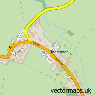
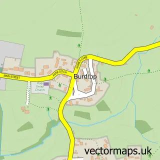
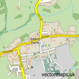
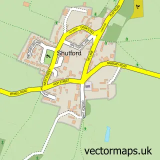
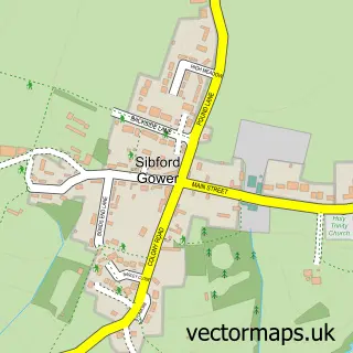
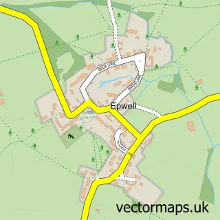
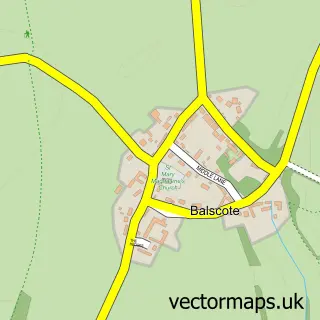
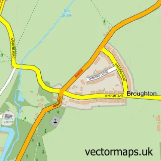
Nearby street map samples around Swalcliffe


More street maps in Oxfordshire
750 metre map area coverage
Boundary, postcode and point of interest information for the 750m x 750m rectangle centred on this sample map.
Boundaries containing map centre
Constituency: Banbury Co Const
County: Oxfordshire County
District: Cherwell District
Icb: NHS Thames Valley ICB
Parish: Swalcliffe CP
Police Force: thames valley
Postcode District: OX15
Postcode Sector: OX15 5
Ward: Cropredy, Sibfords & Wroxton Ward
Nearby boundaries intersecting sample
No additional intersecting boundaries found.
Postcode coverage
POI category counts
Advertising Agency: 1
Anglican Church: 1
Cottage: 1
Doctor: 1
Horse Trainer: 1
Marketing Consultant: 1
Massage: 1
Music Venue: 1
Personal Care Service: 1
Pet Services: 1
Sample points of interest
- ABC Advertising Partners
- Swalcliffe: St Peter & St Paul
- The Little Cottage
- Sacred Oak Shamanism
- Hauling Horse
- A B C Advertising Partners
- Healing Hands
- The Swalcliffe Concerts
- Elizabeth Melvin Photography
- Hill Farm livery
- Elizabeth Melvin Photography
- Swalcliffe Park Equestrian
Create a larger editable map of Swalcliffe
This sample shows only a 750 metre area. To create a larger map of Swalcliffe, use our map builder to choose your own coverage area, add titles and download editable SVG, PDF and PNG files.
Create a custom map of Swalcliffe