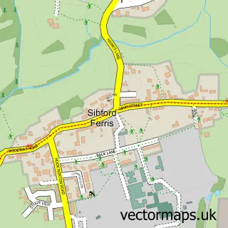
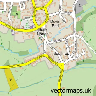
This Sibford Gower street map is a detailed vector street map covering a 750m x 750m area. Select a larger area to create and download your own vector street map of Sibford Gower.
The 750-metre map sample for Sibford Gower covers 162 mapped buildings and approximately 15.7 km of road detail, of which 9 named roads are named. The immediate area includes 1 school, 1 GP surgery within 2 miles and 1 pub. The wider area around Sibford Gower features 1 food and drink venue and 1 campsite within 2 miles. To create a larger or custom map of Sibford Gower, the map builder lets you define your own coverage area and download editable SVG, PDF and PNG files.
Create a larger editable map of Sibford Gower
Choose any area you need and generate a high-quality vector map instantly. Perfect for print, planning, design, business and personal use.

This Sibford Gower street map in Oxfordshire is available as downloadable SVG, PDF and PNG map files, or as a printed map for planning, business, display, education, local information and design work. You can also create a larger custom map area using the map selector.
What this Sibford Gower map sample shows
Sibford Gower lies within Sibford Gower Cp parish, part of Cropredy, Sibfords And Wroxton ward in the Cherwell District local authority area. The postcode geography for this area includes the OX postcode area, the OX15 postcode district and the OX15 5 postcode sector. Residents fall under the Nhs Buckinghamshire, Oxfordshire And Berkshire West Integrated Care Board for NHS services.
Local features near Sibford Gower
Within 2 milesAmenities and services in and around Sibford Gower.
Administrative and postcode information for Sibford Gower
The local authority covering Sibford Gower is Cherwell District, within the county of Oxfordshire. The settlement lies within Cropredy, Sibfords And Wroxton ward and Sibford Gower Cp civil parish. The OX15 postcode district and OX15 5 postcode sector serve the immediate area. NHS provision in the area is delivered through Oxford University Hospitals Nhs Foundation Trust.
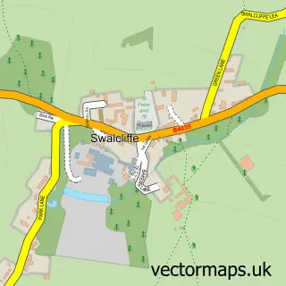
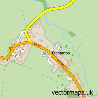
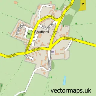
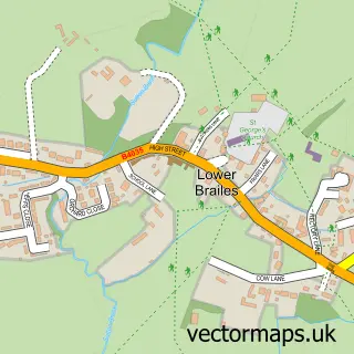
Nearby street map samples around Sibford Gower

More street maps in Oxfordshire
750 metre map area coverage
Boundary, postcode and point of interest information for the 750m x 750m rectangle centred on this sample map.
Boundaries containing map centre
Constituency: Banbury Co Const
County: Oxfordshire County
District: Cherwell District
Icb: NHS Thames Valley ICB
Parish: Sibford Gower CP
Police Force: thames valley
Postcode District: OX15
Postcode Sector: OX15 5
Ward: Cropredy, Sibfords & Wroxton Ward
Nearby boundaries intersecting sample
Parish: Sibford Ferris CP
Postcode coverage
POI category counts
Alternative Medicine: 1
Architect: 1
Bed And Breakfast: 1
Elementary School: 1
Professional Services: 1
Pub: 1
Scout Hall: 1
Sports And Recreation Venue: 1
Sample points of interest
- Refreshing Horizons
- A S Designs
- Buttslade House
- Sibford Gower Endowed Primary School
- Will Gray Photography
- The Wykham Arms
- 1st The Sibfords
- Pilates in Sibford
Create a larger editable map of Sibford Gower
This sample shows only a 750 metre area. To create a larger map of Sibford Gower, use our map builder to choose your own coverage area, add titles and download editable SVG, PDF and PNG files.
Create a custom map of Sibford Gower