This Shipston-on-Stour street map is a detailed vector street map covering a 750m x 750m area. Select a larger area to create and download your own vector street map of Shipston-on-Stour.
The 750-metre map sample for Shipston-on-Stour covers 423 mapped buildings and approximately 34.6 km of road detail, of which 46 named roads are named. The immediate area includes 1 GP surgery within 2 miles, 12 pubs and 1 MOT station, with 2 within 2 miles. The wider area around Shipston-on-Stour features 1 tourism point of interest, 16 food and drink venues and 3 hotels. To create a larger or custom map of Shipston-on-Stour, the map builder lets you define your own coverage area and download editable SVG, PDF and PNG files.
Create a larger editable map of Shipston-on-Stour
Choose any area you need and generate a high-quality vector map instantly. Perfect for print, planning, design, business and personal use.

This Shipston-on-Stour street map in Warwickshire is available as downloadable SVG, PDF and PNG map files, or as a printed map for planning, business, display, education, local information and design work. You can also create a larger custom map area using the map selector.
What this Shipston-on-Stour map sample shows
Shipston-on-Stour lies within Shipston On Stour Cp parish, part of Shipston North ward in the Stratford-On-Avon District local authority area. The postcode geography for this area includes the CV postcode area, the CV36 postcode district and the CV36 4 postcode sector. Residents fall under the Nhs Coventry And Warwickshire Integrated Care Board for NHS services.
Local features near Shipston-on-Stour
Within 2 milesAmenities and services in and around Shipston-on-Stour.
Administrative and postcode information for Shipston-on-Stour
The local authority covering Shipston-on-Stour is Stratford-On-Avon District, within the county of Warwickshire. The settlement lies within Shipston North ward and Shipston On Stour Cp civil parish. The CV36 postcode district and CV36 4 postcode sector serve the immediate area. NHS provision in the area is delivered through South Warwickshire University Nhs Foundation Trust.
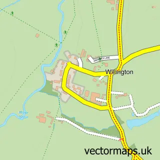
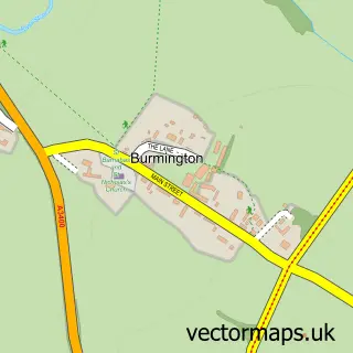
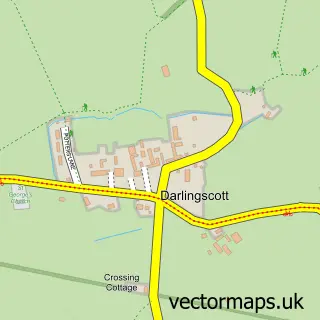
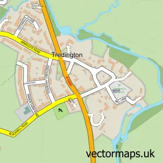
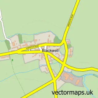
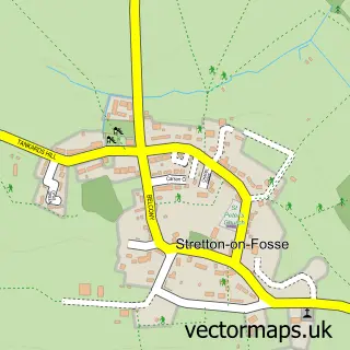
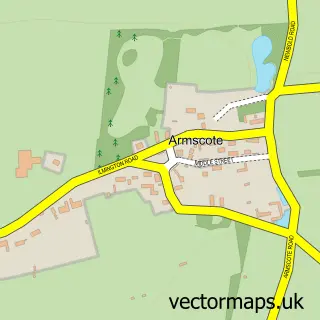
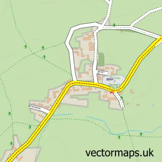
Nearby street map samples around Shipston-on-Stour


More street maps in Warwickshire
750 metre map area coverage
Boundary, postcode and point of interest information for the 750m x 750m rectangle centred on this sample map.
Boundaries containing map centre
Constituency: Stratford-on-Avon Co Const
County: Warwickshire County
District: Stratford-on-Avon District
Icb: NHS Coventry and Warwickshire ICB
Parish: Shipston on Stour CP
Police Force: warwickshire
Postcode District: CV36
Postcode Sector: CV36 4
Ward: Shipston North Ward
Nearby boundaries intersecting sample
Parish: Barcheston CP, Honington CP
Postcode Sector: CV36 5
Ward: Shipston South Ward, Tysoe Ward
Postcode coverage
POI category counts
Pub: 12
Flowers And Gifts Shop: 8
Antique Store: 6
Professional Services: 5
Barber: 4
Clothing Store: 4
Convenience Store: 4
Hair Salon: 4
Korean Grocery Store: 4
Arts And Crafts: 3
Sample points of interest
- Gemini Accounting Services
- Otzi Acupuncture
- NPD Design Consultants
- Brigitte Nix Physical Therapies Dorn Bowen & Self Help Education
- Shipston on Stour - St. Edmund
- British Red Cross
- Katharine House Hospice
- London House Antiques
- London House Past and Presents
- The Lavender Basket
- The Lavender Basket
- ArchiWildish Ltd.
Create a larger editable map of Shipston-on-Stour
This sample shows only a 750 metre area. To create a larger map of Shipston-on-Stour, use our map builder to choose your own coverage area, add titles and download editable SVG, PDF and PNG files.
Create a custom map of Shipston-on-Stour