Vector Maps logo
Home Why it works Popular maps Districts Samples Customizer Create Your Map
VectorMaps.uk
Home Popular maps Districts Samples Customizer Create Your Map Privacy Disclaimer
Home / UK Maps / Gloucestershire / Todenham Map

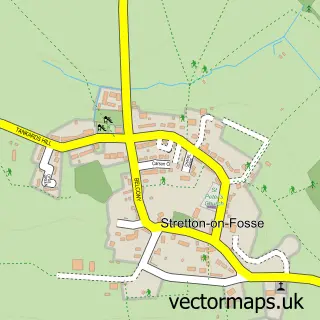
This Todenham street map is a detailed vector street map covering a 750m x 750m area. Select a larger area to create and download your own vector street map of Todenham.

Todenham is a village in Gloucestershire, in the South West of England. The settlement falls within the The Cotswolds parliamentary constituency. It is served by the GL56 postcode district, with GL56 9 as the local postcode sector.

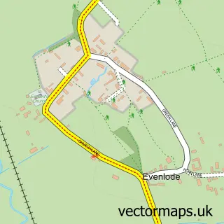
The 750-metre map sample for Todenham covers 71 mapped buildings and approximately 10.8 km of road detail, of which 2 named roads are named. To create a larger or custom map of Todenham, the map builder lets you define your own coverage area and download editable SVG, PDF and PNG files.

71Buildings
10.83 kmRoads
2Named roads
534Residents within 2 miles
Create your own

Create a larger editable map of Todenham

Choose any area you need and generate a high-quality vector map instantly. Perfect for print, planning, design, business and personal use.

Choose any location
Editable SVG files
Any size up to A0
PDF, PNG & more
Instant download
High quality guaranteed
Create My Custom Map
Secure, private & no credit card required
Todenham Vector Street Map
750m Sample
Todenham vector street map sample showing roads, buildings and local features in a 750 metre preview area
Buy Todenham Map Print from £12.95 Buy Todenham Digital Map from £6

This Todenham street map in Gloucestershire is available as downloadable SVG, PDF and PNG map files, or as a printed map for planning, business, display, education, local information and design work. You can also create a larger custom map area using the map selector.

What this Todenham map sample shows

Todenham lies within Todenham Cp parish, part of Moreton East ward in the Cotswold District local authority area. The postcode geography for this area includes the GL postcode area, the GL56 postcode district and the GL56 9 postcode sector. Residents fall under the Nhs Gloucestershire Integrated Care Board for NHS services.

Administrative and postcode information for Todenham

The local authority covering Todenham is Cotswold District, within the county of Gloucestershire. The settlement lies within Moreton East ward and Todenham Cp civil parish. The GL56 postcode district and GL56 9 postcode sector serve the immediate area. NHS provision in the area is delivered through Gloucestershire Hospitals Nhs Foundation Trust.

Parish Todenham CP
Ward Moreton East
District / local authority Cotswold District
County Gloucestershire
Historic county Gloucestershire
Postcode district GL56
Postcode sector GL56 9
Parliamentary constituency The Cotswolds
Region South West
Country England

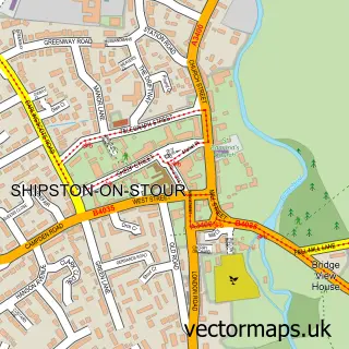
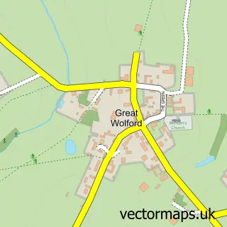
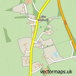
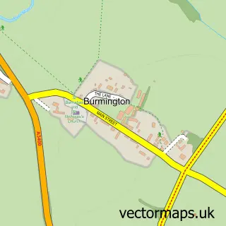
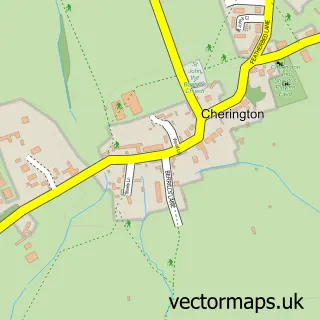
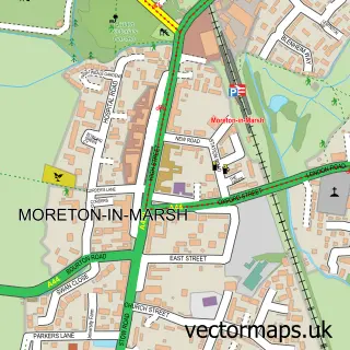
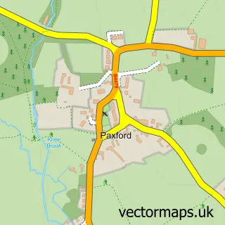
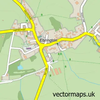
Nearby street map samples around Todenham

Street map sample of Shipston-on-Stour, Warwickshire Shipston-on-Stour Town - Warwickshire - 2.8 miles Street map sample of Oxford, Oxfordshire Oxford City - Oxfordshire - 25.2 miles Street map sample of Great Wolford, Warwickshire Great Wolford Village - Warwickshire - 1.1 miles Street map sample of Little Wolford, Warwickshire Little Wolford Village - Warwickshire - 1.5 miles Street map sample of Burmington, Warwickshire Burmington Village - Warwickshire - 1.7 miles Street map sample of Stretton on Fosse, Warwickshire Stretton on Fosse Village - Warwickshire - 1.8 miles Street map sample of Willington, Warwickshire Willington Village - Warwickshire - 2.3 miles Street map sample of Barton on the Heath, Warwickshire Barton on the Heath Village - Warwickshire - 2.4 miles Street map sample of Aston Magna, Gloucestershire Aston Magna Village - Gloucestershire - 2.6 miles Street map sample of Cherington, Warwickshire Cherington Village - Warwickshire - 3.0 miles

More street maps in Gloucestershire

Street map sample of Aston Magna, Gloucestershire Aston Magna Village - 2.6 miles Street map sample of Moreton-in-Marsh, Gloucestershire Moreton-in-Marsh Town - 3.3 miles Street map sample of Paxford, Gloucestershire Paxford Village - 3.7 miles Street map sample of Ebrington, Gloucestershire Ebrington Village - 4.2 miles Street map sample of Evenlode, Gloucestershire Evenlode Village - 4.7 miles

750 metre map area coverage

Boundary, postcode and point of interest information for the 750m x 750m rectangle centred on this sample map.

Boundaries containing map centre

Constituency: North Cotswolds Co Const

County: Gloucestershire County

District: Cotswold District

Icb: NHS Gloucestershire ICB

Parish: Todenham CP

Police Force: gloucestershire

Postcode District: GL56

Postcode Sector: GL56 9

Ward: Moreton East Ward

Nearby boundaries intersecting sample

No additional intersecting boundaries found.

Postcode coverage

GL56 GL56 9

POI category counts

Anglican Church: 1

Bed And Breakfast: 1

Bus Service: 1

Community Center: 1

Construction Services: 1

Logging Services: 1

Sample points of interest

  • St Thomas of Canterbury Anglican Church
  • Wellbank Cottage Bed And Breakfast
  • Cotswold Taxis Bus Service
  • Todenham Village & Village Hall Community Center
  • Buildcore Construction Construction Services
  • Todenham Manor Farm Logging Services

Create a larger editable map of Todenham

This sample shows only a 750 metre area. To create a larger map of Todenham, use our map builder to choose your own coverage area, add titles and download editable SVG, PDF and PNG files.

Create a custom map of Todenham

Phone 01751 473136 | Copyright Vectormaps.uk 2026

Samples Customizer Privacy Disclaimer
Todenham Vector Street Map
Todenham enlarged street map sample showing a 750 metre preview area