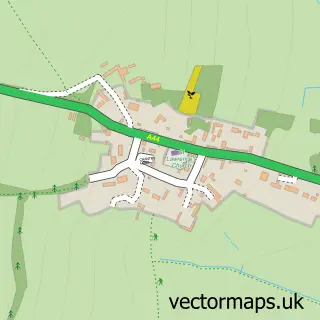
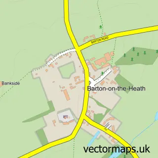
This Moreton-in-Marsh street map is a detailed vector street map covering a 750m x 750m area. Select a larger area to create and download your own vector street map of Moreton-in-Marsh.
The 750-metre map sample for Moreton-in-Marsh covers 357 mapped buildings and approximately 27.5 km of road detail, of which 28 named roads are named. The immediate area includes 1 school, 1 railway station, 2 GP surgeries within 2 miles and 7 pubs among other local services. The wider area around Moreton-in-Marsh features 6 tourism points of interest, 17 food and drink venues and 7 hotels. To create a larger or custom map of Moreton-in-Marsh, the map builder lets you define your own coverage area and download editable SVG, PDF and PNG files.
Create a larger editable map of Moreton-in-Marsh
Choose any area you need and generate a high-quality vector map instantly. Perfect for print, planning, design, business and personal use.

This Moreton-in-Marsh street map in Gloucestershire is available as downloadable SVG, PDF and PNG map files, or as a printed map for planning, business, display, education, local information and design work. You can also create a larger custom map area using the map selector.
What this Moreton-in-Marsh map sample shows
Moreton-in-Marsh lies within Moreton-In-Marsh Cp parish, part of Moreton West ward in the Cotswold District local authority area. The postcode geography for this area includes the GL postcode area, the GL56 postcode district and the GL56 0 postcode sector. Residents fall under the Nhs Gloucestershire Integrated Care Board for NHS services.
Local features near Moreton-in-Marsh
Within 2 milesAmenities and services in and around Moreton-in-Marsh.
Administrative and postcode information for Moreton-in-Marsh
The local authority covering Moreton-in-Marsh is Cotswold District, within the county of Gloucestershire. The settlement lies within Moreton West ward and Moreton-In-Marsh Cp civil parish. The GL56 postcode district and GL56 0 postcode sector serve the immediate area. NHS provision in the area is delivered through Gloucestershire Hospitals Nhs Foundation Trust.
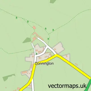
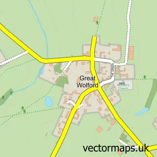
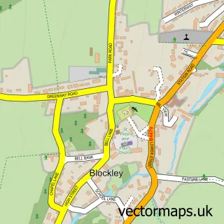
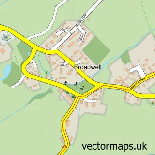
Nearby street map samples around Moreton-in-Marsh

More street maps in Gloucestershire
750 metre map area coverage
Boundary, postcode and point of interest information for the 750m x 750m rectangle centred on this sample map.
Boundaries containing map centre
Constituency: North Cotswolds Co Const
County: Gloucestershire County
District: Cotswold District
Icb: NHS Gloucestershire ICB
Parish: Moreton-in-Marsh CP
Police Force: gloucestershire
Postcode District: GL56
Postcode Sector: GL56 0
Ward: Moreton West Ward
Nearby boundaries intersecting sample
Parish: Batsford CP
Postcode Sector: GL56 9
Ward: Moreton East Ward
Postcode coverage
POI category counts
Art Gallery: 8
Hotel: 7
Pub: 7
Retail: 7
Indian Restaurant: 6
Real Estate Agent: 6
Bakery: 5
Hair Salon: 5
Elementary School: 4
Resort: 4
Sample points of interest
- Tayabali Tomlin Chartered Accountants
- Merchandise Branding
- Chandlers Antiques
- Gary Wright Antiques
- London House Antique Centre
- Marsh Sewing Machine Services
- Guiding Light Architecture
- Tyack Architects Ltd
- Artysan At Wold Galleries
- Astley House Fine Art
- Benton Fine Art
- Celia Lendis Contemporary Fine Arts
Create a larger editable map of Moreton-in-Marsh
This sample shows only a 750 metre area. To create a larger map of Moreton-in-Marsh, use our map builder to choose your own coverage area, add titles and download editable SVG, PDF and PNG files.
Create a custom map of Moreton-in-Marsh