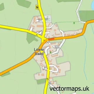
This Broadwell street map is a detailed vector street map covering a 750m x 750m area. Select a larger area to create and download your own vector street map of Broadwell.
The 750-metre map sample for Broadwell covers 130 mapped buildings and approximately 23.4 km of road detail, of which 6 named roads are named. The immediate area includes 1 GP surgery within 2 miles, 2 pubs and 2 MOT stations within 2 miles. The wider area around Broadwell features 2 food and drink venues and 1 hotel. To create a larger or custom map of Broadwell, the map builder lets you define your own coverage area and download editable SVG, PDF and PNG files.
Create a larger editable map of Broadwell
Choose any area you need and generate a high-quality vector map instantly. Perfect for print, planning, design, business and personal use.

This Broadwell street map in Gloucestershire is available as downloadable SVG, PDF and PNG map files, or as a printed map for planning, business, display, education, local information and design work. You can also create a larger custom map area using the map selector.
What this Broadwell map sample shows
Broadwell lies within Broadwell Cp parish, part of Fosseridge ward in the Cotswold District local authority area. The postcode geography for this area includes the GL postcode area, the GL56 postcode district and the GL56 0 postcode sector. Residents fall under the Nhs Gloucestershire Integrated Care Board for NHS services.
Local features near Broadwell
Within 2 milesAmenities and services in and around Broadwell.
Administrative and postcode information for Broadwell
Broadwell lies within Broadwell Cp parish, part of Fosseridge ward in the Cotswold District local authority area. The postcode geography for this area includes the GL postcode area, the GL56 postcode district and the GL56 0 postcode sector. Residents fall under the Nhs Gloucestershire Integrated Care Board for NHS services.
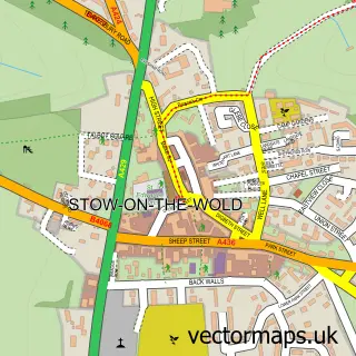
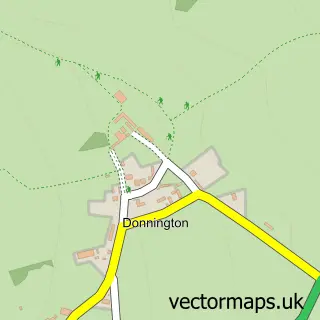
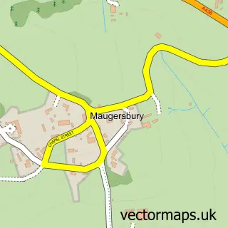
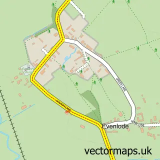
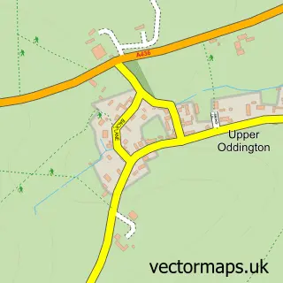
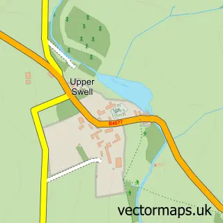
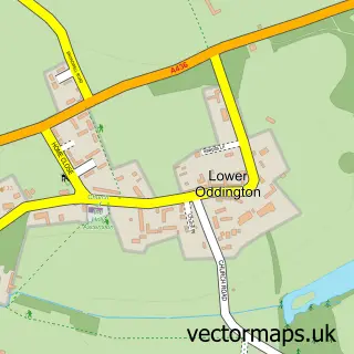
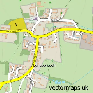
Nearby street map samples around Broadwell

More street maps in Gloucestershire
750 metre map area coverage
Boundary, postcode and point of interest information for the 750m x 750m rectangle centred on this sample map.
Boundaries containing map centre
Constituency: North Cotswolds Co Const
County: Gloucestershire County
District: Cotswold District
Icb: NHS Gloucestershire ICB
Parish: Broadwell CP
Police Force: gloucestershire
Postcode District: GL56
Postcode Sector: GL56 0
Ward: Fosseridge Ward
Nearby boundaries intersecting sample
No additional intersecting boundaries found.
Postcode coverage
POI category counts
Pub: 2
Bed And Breakfast: 1
Church Cathedral: 1
Farm: 1
Hair Salon: 1
Hotel: 1
Massage Therapy: 1
Pet Services: 1
Preschool: 1
Sample points of interest
- Aston House
- Broadwell, Cotswold
- Billy's Woodland Eggs
- Kerry Belinda Mobile Hair & Beauty Therapy
- Box Cottage
- Gary Edwards
- Calcutt Cattery
- Broadshires Pre-School
- Fox Inn
- The Fox Inn
Create a larger editable map of Broadwell
This sample shows only a 750 metre area. To create a larger map of Broadwell, use our map builder to choose your own coverage area, add titles and download editable SVG, PDF and PNG files.
Create a custom map of Broadwell