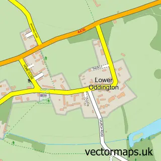
This Stow-on-the-Wold street map is a detailed vector street map covering a 750m x 750m area. Select a larger area to create and download your own vector street map of Stow-on-the-Wold.
The 750-metre map sample for Stow-on-the-Wold covers 311 mapped buildings and approximately 36.2 km of road detail, of which 36 named roads are named. The immediate area includes 1 GP surgery within 2 miles and 8 pubs. The wider area around Stow-on-the-Wold features 3 tourism points of interest, 18 food and drink venues and 17 hotels. To create a larger or custom map of Stow-on-the-Wold, the map builder lets you define your own coverage area and download editable SVG, PDF and PNG files.
Create a larger editable map of Stow-on-the-Wold
Choose any area you need and generate a high-quality vector map instantly. Perfect for print, planning, design, business and personal use.

This Stow-on-the-Wold street map in Gloucestershire is available as downloadable SVG, PDF and PNG map files, or as a printed map for planning, business, display, education, local information and design work. You can also create a larger custom map area using the map selector.
What this Stow-on-the-Wold map sample shows
Stow-on-the-Wold lies within Stow-On-The-Wold Cp parish, part of Stow ward in the Cotswold District local authority area. The postcode geography for this area includes the GL postcode area, the GL54 postcode district and the GL54 1 postcode sector. Residents fall under the Nhs Gloucestershire Integrated Care Board for NHS services.
Local features near Stow-on-the-Wold
Within 2 milesAmenities and services in and around Stow-on-the-Wold.
Administrative and postcode information for Stow-on-the-Wold
The local authority covering Stow-on-the-Wold is Cotswold District, within the county of Gloucestershire. The settlement lies within Stow ward and Stow-On-The-Wold Cp civil parish. The GL54 postcode district and GL54 1 postcode sector serve the immediate area. NHS provision in the area is delivered through Gloucestershire Hospitals Nhs Foundation Trust.
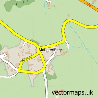
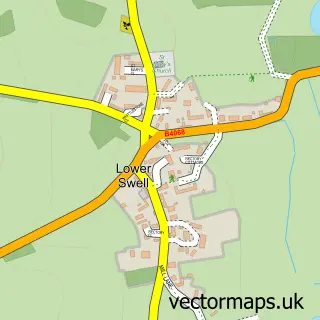
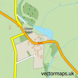
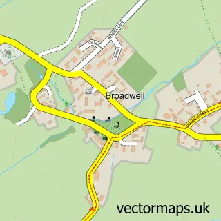
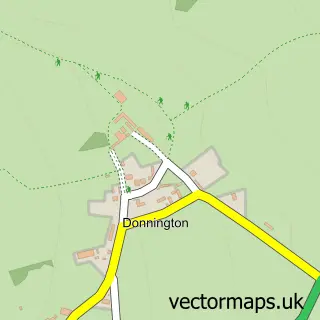
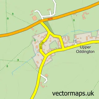
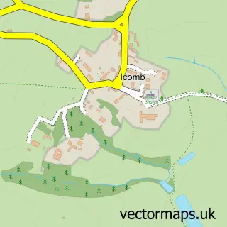
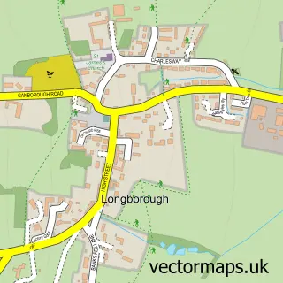
Nearby street map samples around Stow-on-the-Wold

More street maps in Gloucestershire
750 metre map area coverage
Boundary, postcode and point of interest information for the 750m x 750m rectangle centred on this sample map.
Boundaries containing map centre
Constituency: North Cotswolds Co Const
County: Gloucestershire County
District: Cotswold District
Icb: NHS Gloucestershire ICB
Parish: Stow-on-the-Wold CP
Police Force: gloucestershire
Postcode District: GL54
Postcode Sector: GL54 1
Ward: Stow Ward
Nearby boundaries intersecting sample
No additional intersecting boundaries found.
Postcode coverage
POI category counts
Antique Store: 19
Hotel: 17
Childrens Clothing Store: 8
Clothing Store: 8
Pub: 8
Art Gallery: 7
Flowers And Gifts Shop: 7
Real Estate Agent: 6
Bed And Breakfast: 5
Cafe: 5
Sample points of interest
- B-Simply Rooms
- Cotswold Holiday Breaks
- William Hinton Chartered Accountants
- Robert Boswell Design Consultancy
- The Coffee House
- St Edward's, Stow
- Baggott Church Street
- British Red Cross
- Christopher Clarke Antiques
- Christopher Clarke Antiques
- Colin Brand Antiques
- Durham House Antiques
Create a larger editable map of Stow-on-the-Wold
This sample shows only a 750 metre area. To create a larger map of Stow-on-the-Wold, use our map builder to choose your own coverage area, add titles and download editable SVG, PDF and PNG files.
Create a custom map of Stow-on-the-Wold