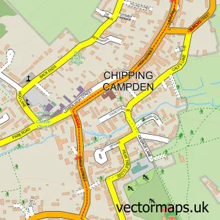
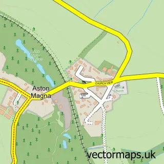
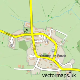
This Blockley street map is a detailed vector street map covering a 750m x 750m area. Select a larger area to create and download your own vector street map of Blockley.
The 750-metre map sample for Blockley covers 234 mapped buildings and approximately 18.3 km of road detail, of which 14 named roads are named. The immediate area includes 1 school, 1 pub and 2 MOT stations within 2 miles. The wider area around Blockley features 1 food and drink venue and 4 hotels. To create a larger or custom map of Blockley, the map builder lets you define your own coverage area and download editable SVG, PDF and PNG files.
Create a larger editable map of Blockley
Choose any area you need and generate a high-quality vector map instantly. Perfect for print, planning, design, business and personal use.

This Blockley street map in Gloucestershire is available as downloadable SVG, PDF and PNG map files, or as a printed map for planning, business, display, education, local information and design work. You can also create a larger custom map area using the map selector.
What this Blockley map sample shows
Blockley lies within Blockley Cp parish, part of Blockley ward in the Cotswold District local authority area. The postcode geography for this area includes the GL postcode area, the GL56 postcode district and the GL56 9 postcode sector. Residents fall under the Nhs Gloucestershire Integrated Care Board for NHS services.
Local features near Blockley
Within 2 milesAmenities and services in and around Blockley.
Administrative and postcode information for Blockley
The local authority covering Blockley is Cotswold District, within the county of Gloucestershire. The settlement lies within Blockley ward and Blockley Cp civil parish. The GL56 postcode district and GL56 9 postcode sector serve the immediate area. NHS provision in the area is delivered through Gloucestershire Hospitals Nhs Foundation Trust.
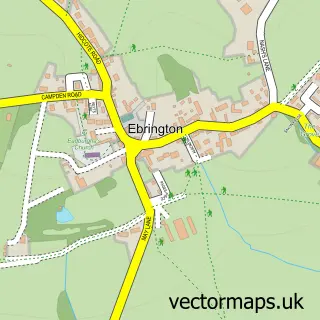
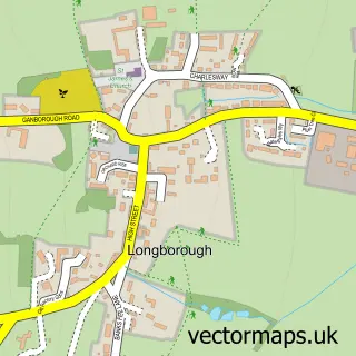
Nearby street map samples around Blockley

More street maps in Gloucestershire
750 metre map area coverage
Boundary, postcode and point of interest information for the 750m x 750m rectangle centred on this sample map.
Boundaries containing map centre
Constituency: North Cotswolds Co Const
County: Gloucestershire County
District: Cotswold District
Icb: NHS Gloucestershire ICB
Parish: Blockley CP
Police Force: gloucestershire
Postcode District: GL56
Postcode Sector: GL56 9
Ward: Blockley Ward
Nearby boundaries intersecting sample
No additional intersecting boundaries found.
Postcode coverage
POI category counts
Hotel: 4
Church Cathedral: 2
Electrician: 2
Advertising Agency: 1
Anglican Church: 1
Auto Loan Provider: 1
Automotive Parts And Accessories: 1
Bed And Breakfast: 1
Community Services Non Profits: 1
Convenience Store: 1
Sample points of interest
- Cotswoldxl Magazine
- St Peter & St Paul, Blockley
- Woodshires
- Fosseway Performance Ltd
- Lower Brook House
- Blockley Church, St Peter and St Paul
- Church of St Peter and St Paul, Blockley
- Read Easy UK
- Blockley Village Shop
- The Training Shop UK
- Denyar and Freeman Electrical Services
- Legh Richardson
Create a larger editable map of Blockley
This sample shows only a 750 metre area. To create a larger map of Blockley, use our map builder to choose your own coverage area, add titles and download editable SVG, PDF and PNG files.
Create a custom map of Blockley