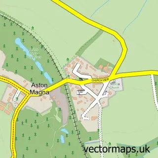
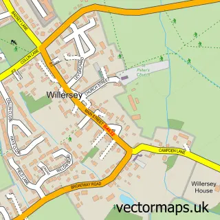
This Broad Campden street map is a detailed vector street map covering a 750m x 750m area. Select a larger area to create and download your own vector street map of Broad Campden.
The 750-metre map sample for Broad Campden covers 105 mapped buildings and approximately 14.6 km of road detail, of which 1 named road are named. The immediate area includes 1 GP surgery within 2 miles, 1 pub and 3 MOT stations within 2 miles. The wider area around Broad Campden features 1 tourism point of interest and 1 food and drink venue. To create a larger or custom map of Broad Campden, the map builder lets you define your own coverage area and download editable SVG, PDF and PNG files.
Create a larger editable map of Broad Campden
Choose any area you need and generate a high-quality vector map instantly. Perfect for print, planning, design, business and personal use.

This Broad Campden street map in Gloucestershire is available as downloadable SVG, PDF and PNG map files, or as a printed map for planning, business, display, education, local information and design work. You can also create a larger custom map area using the map selector.
What this Broad Campden map sample shows
Broad Campden lies within Chipping Campden Cp parish, part of Campden & Vale ward in the Cotswold District local authority area. The postcode geography for this area includes the GL postcode area, the GL55 postcode district and the GL55 6 postcode sector. Residents fall under the Nhs Gloucestershire Integrated Care Board for NHS services.
Local features near Broad Campden
Within 2 milesAmenities and services in and around Broad Campden.
Administrative and postcode information for Broad Campden
Broad Campden lies within Chipping Campden Cp parish, part of Campden & Vale ward in the Cotswold District local authority area. The postcode geography for this area includes the GL postcode area, the GL55 postcode district and the GL55 6 postcode sector. Residents fall under the Nhs Gloucestershire Integrated Care Board for NHS services.
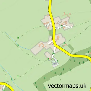
Nearby street map samples around Broad Campden

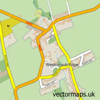
More street maps in Gloucestershire
750 metre map area coverage
Boundary, postcode and point of interest information for the 750m x 750m rectangle centred on this sample map.
Boundaries containing map centre
Constituency: North Cotswolds Co Const
County: Gloucestershire County
District: Cotswold District
Icb: NHS Gloucestershire ICB
Parish: Chipping Campden CP
Police Force: gloucestershire
Postcode District: GL55
Postcode Sector: GL55 6
Ward: Campden & Vale Ward
Nearby boundaries intersecting sample
No additional intersecting boundaries found.
Postcode coverage
POI category counts
Anglican Church: 1
Bed And Breakfast: 1
Church Cathedral: 1
Hiking Trail: 1
Landmark And Historical Building: 1
Pub: 1
Retail: 1
Sample points of interest
- St Michael & All Angels
- The Malt House
- Broad Campden Quaker Meeting House
- Heart of England Wsy
- Broad Campden
- The Bakers Arms
- Biogas Analytix
Create a larger editable map of Broad Campden
This sample shows only a 750 metre area. To create a larger map of Broad Campden, use our map builder to choose your own coverage area, add titles and download editable SVG, PDF and PNG files.
Create a custom map of Broad Campden