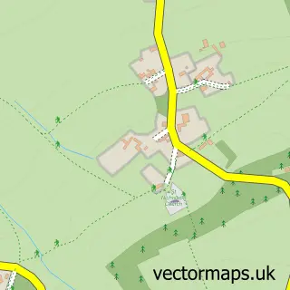
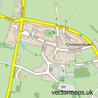
This Weston-sub-Edge street map is a detailed vector street map covering a 750m x 750m area. Select a larger area to create and download your own vector street map of Weston-sub-Edge.
The 750-metre map sample for Weston-sub-Edge covers 126 mapped buildings and approximately 21.4 km of road detail, of which 5 named roads are named. The immediate area includes 1 GP surgery within 2 miles, 2 pubs and 3 MOT stations within 2 miles. The wider area around Weston-sub-Edge features 3 food and drink venues and 1 campsite within 2 miles. To create a larger or custom map of Weston-sub-Edge, the map builder lets you define your own coverage area and download editable SVG, PDF and PNG files.
Create a larger editable map of Weston-sub-Edge
Choose any area you need and generate a high-quality vector map instantly. Perfect for print, planning, design, business and personal use.

This Weston-sub-Edge street map in Gloucestershire is available as downloadable SVG, PDF and PNG map files, or as a printed map for planning, business, display, education, local information and design work. You can also create a larger custom map area using the map selector.
What this Weston-sub-Edge map sample shows
Weston-sub-Edge lies within Weston Subedge Cp parish, part of Campden & Vale ward in the Cotswold District local authority area. The postcode geography for this area includes the GL postcode area, the GL55 postcode district and the GL55 6 postcode sector. Residents fall under the Nhs Gloucestershire Integrated Care Board for NHS services.
Local features near Weston-sub-Edge
Within 2 milesAmenities and services in and around Weston-sub-Edge.
Administrative and postcode information for Weston-sub-Edge
The local authority covering Weston-sub-Edge is Cotswold District, within the county of Gloucestershire. The settlement lies within Campden & Vale ward and Weston Subedge Cp civil parish. The GL55 postcode district and GL55 6 postcode sector serve the immediate area. NHS provision in the area is delivered through Gloucestershire Hospitals Nhs Foundation Trust.
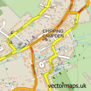
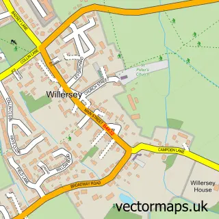
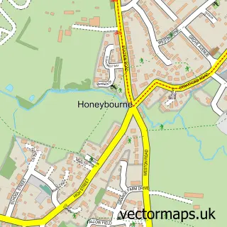
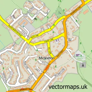
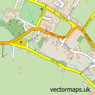
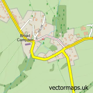
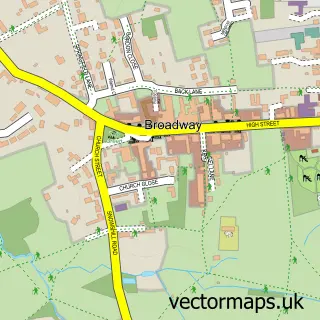
Nearby street map samples around Weston-sub-Edge

More street maps in Gloucestershire
750 metre map area coverage
Boundary, postcode and point of interest information for the 750m x 750m rectangle centred on this sample map.
Boundaries containing map centre
Constituency: North Cotswolds Co Const
County: Gloucestershire County
District: Cotswold District
Icb: NHS Gloucestershire ICB
Parish: Weston Subedge CP
Police Force: gloucestershire
Postcode District: GL55
Postcode Sector: GL55 6
Ward: Campden & Vale Ward
Nearby boundaries intersecting sample
Parish: Saintbury CP
Postcode District: WR11
Postcode Sector: WR11 7
Postcode coverage
POI category counts
Holiday Rental Home: 2
Pub: 2
Bakery: 1
Bed And Breakfast: 1
Driving School: 1
Forestry Service: 1
Gastropub: 1
Lumber Store: 1
Prenatal Perinatal Care: 1
Professional Services: 1
Sample points of interest
- Fern & Rose
- Manor Farm
- SJL Automotive Solutions
- F.J Robbins
- Seagrave Arms
- Popfosters Barn
- Yew Trees Cottage
- Hartwell and Co Timber
- Nurtured Mummy Nurtured Baby
- S J L Automotive Solutions
- The Seagrave Arms
- Village Bar Weston-Sub-Edge
Create a larger editable map of Weston-sub-Edge
This sample shows only a 750 metre area. To create a larger map of Weston-sub-Edge, use our map builder to choose your own coverage area, add titles and download editable SVG, PDF and PNG files.
Create a custom map of Weston-sub-Edge