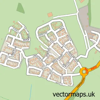
This Mickleton street map is a detailed vector street map covering a 750m x 750m area. Select a larger area to create and download your own vector street map of Mickleton.
The 750-metre map sample for Mickleton covers 414 mapped buildings and approximately 32.9 km of road detail, of which 33 named roads are named. The immediate area includes 1 school, 5 pubs and 1 MOT station within 2 miles. The wider area around Mickleton features 8 food and drink venues and 1 hotel. To create a larger or custom map of Mickleton, the map builder lets you define your own coverage area and download editable SVG, PDF and PNG files.
Create a larger editable map of Mickleton
Choose any area you need and generate a high-quality vector map instantly. Perfect for print, planning, design, business and personal use.

This Mickleton street map in Gloucestershire is available as downloadable SVG, PDF and PNG map files, or as a printed map for planning, business, display, education, local information and design work. You can also create a larger custom map area using the map selector.
What this Mickleton map sample shows
Mickleton lies within Mickleton Cp parish, part of Campden & Vale ward in the Cotswold District local authority area. The postcode geography for this area includes the GL postcode area, the GL55 postcode district and the GL55 6 postcode sector. Residents fall under the Nhs Gloucestershire Integrated Care Board for NHS services.
Local features near Mickleton
Within 2 milesAmenities and services in and around Mickleton.
Administrative and postcode information for Mickleton
The local authority covering Mickleton is Cotswold District, within the county of Gloucestershire. The settlement lies within Campden & Vale ward and Mickleton Cp civil parish. The GL55 postcode district and GL55 6 postcode sector serve the immediate area. NHS provision in the area is delivered through Gloucestershire Hospitals Nhs Foundation Trust.
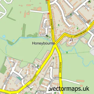
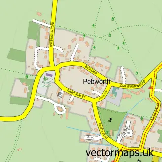
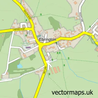
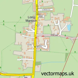
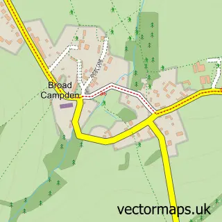
Nearby street map samples around Mickleton

More street maps in Gloucestershire
750 metre map area coverage
Boundary, postcode and point of interest information for the 750m x 750m rectangle centred on this sample map.
Boundaries containing map centre
Constituency: North Cotswolds Co Const
County: Gloucestershire County
District: Cotswold District
Icb: NHS Gloucestershire ICB
Parish: Mickleton CP
Police Force: gloucestershire
Postcode District: GL55
Postcode Sector: GL55 6
Ward: Campden & Vale Ward
Nearby boundaries intersecting sample
No additional intersecting boundaries found.
Postcode coverage
POI category counts
Pub: 5
Korean Grocery Store: 4
Restaurant: 3
British Restaurant: 2
Grocery Store: 2
Alternative Medicine: 1
Anglican Church: 1
Assisted Living Facility: 1
Beauty Salon: 1
Broadcasting Media Production: 1
Sample points of interest
- Reiki Jenny
- St Lawrence’s Church, Mickleton
- Four Seasons Residential Home
- Beauty Within
- Fig Restaurant, Campden
- The Pudding Club
- Sounding Sweet
- Newland Homes
- J E Righton Builders
- Chris Maslin Resolutions
- Links Business Services
- David Moore Family Butcher
Create a larger editable map of Mickleton
This sample shows only a 750 metre area. To create a larger map of Mickleton, use our map builder to choose your own coverage area, add titles and download editable SVG, PDF and PNG files.
Create a custom map of Mickleton