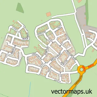
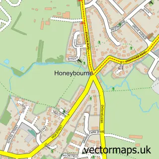
This Meon Vale street map is a detailed vector street map covering a 750m x 750m area. Select a larger area to create and download your own vector street map of Meon Vale.
The 750-metre map sample for Meon Vale covers 347 mapped buildings and approximately 24.8 km of road detail, of which 24 named roads are named. The immediate area includes 1 GP surgery within 2 miles and 2 MOT stations within 2 miles. The wider area around Meon Vale features 1 tourism point of interest and 1 food and drink venue. To create a larger or custom map of Meon Vale, the map builder lets you define your own coverage area and download editable SVG, PDF and PNG files.
Create a larger editable map of Meon Vale
Choose any area you need and generate a high-quality vector map instantly. Perfect for print, planning, design, business and personal use.

This Meon Vale street map in Warwickshire is available as downloadable SVG, PDF and PNG map files, or as a printed map for planning, business, display, education, local information and design work. You can also create a larger custom map area using the map selector.
What this Meon Vale map sample shows
Meon Vale lies within Quinton Cp parish, part of Quinton ward in the Stratford-On-Avon District local authority area. The postcode geography for this area includes the CV postcode area, the CV37 postcode district and the CV37 8 postcode sector. Residents fall under the Nhs Coventry And Warwickshire Integrated Care Board for NHS services.
Local features near Meon Vale
Within 2 milesAmenities and services in and around Meon Vale.
Administrative and postcode information for Meon Vale
The local authority covering Meon Vale is Stratford-On-Avon District, within the county of Warwickshire. The settlement lies within Quinton ward and Quinton Cp civil parish. The CV37 postcode district and CV37 8 postcode sector serve the immediate area. NHS provision in the area is delivered through South Warwickshire University Nhs Foundation Trust.
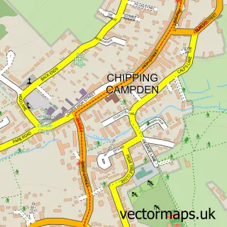
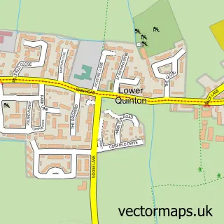
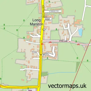
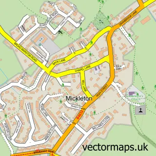
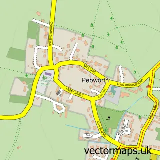
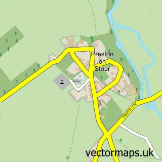
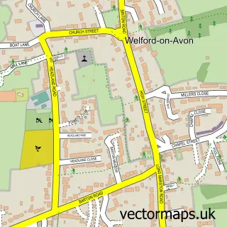
Nearby street map samples around Meon Vale

More street maps in Warwickshire
750 metre map area coverage
Boundary, postcode and point of interest information for the 750m x 750m rectangle centred on this sample map.
Boundaries containing map centre
Constituency: Stratford-on-Avon Co Const
County: Warwickshire County
District: Stratford-on-Avon District
Icb: NHS Coventry and Warwickshire ICB
Parish: Quinton CP
Police Force: warwickshire
Postcode District: CV37
Postcode Sector: CV37 8
Ward: Long Marston Ward
Nearby boundaries intersecting sample
Constituency: Droitwich and Evesham Co Const
County: Worcestershire County
District: Wychavon District
Parish: Long Marston CP, Pebworth CP
Police Force: west mercia
Ward: Honeybourne, Pebworth & The Littletons Ward, Quinton Ward
Postcode coverage
POI category counts
Convenience Store: 3
Gym: 2
Home Developer: 2
Active Life: 1
Automotive Dealer: 1
Bar And Grill Restaurant: 1
Building Supply Store: 1
Coffee Shop: 1
Community Center: 1
Desserts: 1
Sample points of interest
- Quinton and Meon Vale Zumba
- Avon Equipment Sales
- Archers Disco Bar & Grill
- J & H Gardening
- The Pavilion Coffee Shop
- Meon Vale Village Hall
- Londis
- Londis MEON VALE LONDIS
- MEON Vale Londis
- Meon Treats
- Meon Vale Business Park
- Ashby
Create a larger editable map of Meon Vale
This sample shows only a 750 metre area. To create a larger map of Meon Vale, use our map builder to choose your own coverage area, add titles and download editable SVG, PDF and PNG files.
Create a custom map of Meon Vale