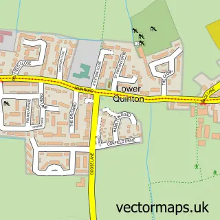
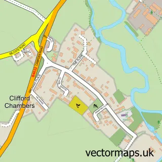
This Long Marston street map is a detailed vector street map covering a 750m x 750m area. Select a larger area to create and download your own vector street map of Long Marston.
The 750-metre map sample for Long Marston covers 163 mapped buildings and approximately 14.2 km of road detail, of which 8 named roads are named. The immediate area includes 1 GP surgery within 2 miles, 1 pub and 2 MOT stations within 2 miles. The wider area around Long Marston features 1 food and drink venue. To create a larger or custom map of Long Marston, the map builder lets you define your own coverage area and download editable SVG, PDF and PNG files.
Create a larger editable map of Long Marston
Choose any area you need and generate a high-quality vector map instantly. Perfect for print, planning, design, business and personal use.

This Long Marston street map in Warwickshire is available as downloadable SVG, PDF and PNG map files, or as a printed map for planning, business, display, education, local information and design work. You can also create a larger custom map area using the map selector.
What this Long Marston map sample shows
Long Marston lies within Long Marston Cp parish, part of Welford-On-Avon ward in the Stratford-On-Avon District local authority area. The postcode geography for this area includes the CV postcode area, the CV37 postcode district and the CV37 8 postcode sector. Residents fall under the Nhs Coventry And Warwickshire Integrated Care Board for NHS services.
Local features near Long Marston
Within 2 milesAmenities and services in and around Long Marston.
Administrative and postcode information for Long Marston
The local authority covering Long Marston is Stratford-On-Avon District, within the county of Warwickshire. The settlement lies within Welford-On-Avon ward and Long Marston Cp civil parish. The CV37 postcode district and CV37 8 postcode sector serve the immediate area. NHS provision in the area is delivered through South Warwickshire University Nhs Foundation Trust.
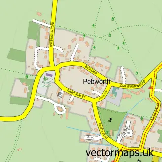
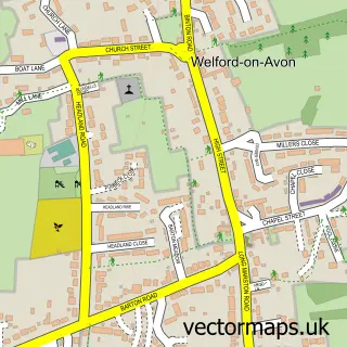
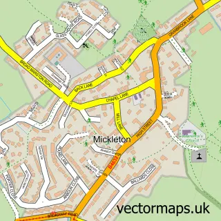
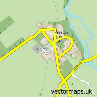
Nearby street map samples around Long Marston

More street maps in Warwickshire
750 metre map area coverage
Boundary, postcode and point of interest information for the 750m x 750m rectangle centred on this sample map.
Boundaries containing map centre
Constituency: Stratford-on-Avon Co Const
County: Warwickshire County
District: Stratford-on-Avon District
Icb: NHS Coventry and Warwickshire ICB
Parish: Long Marston CP
Police Force: warwickshire
Postcode District: CV37
Postcode Sector: CV37 8
Ward: Long Marston Ward
Nearby boundaries intersecting sample
No additional intersecting boundaries found.
Postcode coverage
POI category counts
Beauty Salon: 1
Business Management Services: 1
Cleaning Services: 1
Community Center: 1
Convenience Store: 1
Damage Restoration: 1
Electronics: 1
Fashion Accessories Store: 1
Horse Equipment Shop: 1
Pet Store: 1
Sample points of interest
- Helena Jones Permanent Makeup
- Long Marston Post Office
- MRW Skip Hire
- Long Marston Village Hall
- The Poppin Village Store
- M build
- Andy Willcox Electrical
- Poppy Galore
- Vale Stables
- Windmill Pet Supplies
- Post Office
- Masons Arms
Create a larger editable map of Long Marston
This sample shows only a 750 metre area. To create a larger map of Long Marston, use our map builder to choose your own coverage area, add titles and download editable SVG, PDF and PNG files.
Create a custom map of Long Marston