This Honeybourne street map is a detailed vector street map covering a 750m x 750m area. Select a larger area to create and download your own vector street map of Honeybourne.
The 750-metre map sample for Honeybourne covers 334 mapped buildings and approximately 21.4 km of road detail, of which 20 named roads are named. The immediate area includes 1 school, 3 pubs and 1 MOT station, with 3 within 2 miles. The wider area around Honeybourne features 4 food and drink venues. To create a larger or custom map of Honeybourne, the map builder lets you define your own coverage area and download editable SVG, PDF and PNG files.
Create a larger editable map of Honeybourne
Choose any area you need and generate a high-quality vector map instantly. Perfect for print, planning, design, business and personal use.

This Honeybourne street map in Worcestershire is available as downloadable SVG, PDF and PNG map files, or as a printed map for planning, business, display, education, local information and design work. You can also create a larger custom map area using the map selector.
What this Honeybourne map sample shows
Honeybourne lies within Honeybourne Cp parish, part of Honeybourne And Pebworth ward in the Wychavon District local authority area. The postcode geography for this area includes the WR postcode area, the WR11 postcode district and the WR11 7 postcode sector. Residents fall under the Nhs Herefordshire And Worcestershire Integrated Care Board for NHS services.
Local features near Honeybourne
Within 2 milesAmenities and services in and around Honeybourne.
Administrative and postcode information for Honeybourne
Honeybourne lies within Honeybourne Cp parish, part of Honeybourne And Pebworth ward in the Wychavon District local authority area. The postcode geography for this area includes the WR postcode area, the WR11 postcode district and the WR11 7 postcode sector. Residents fall under the Nhs Herefordshire And Worcestershire Integrated Care Board for NHS services.
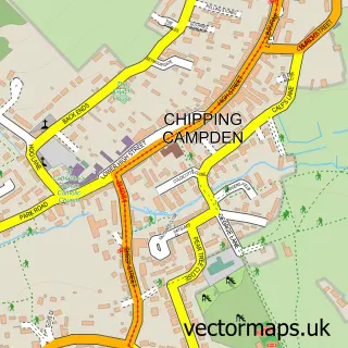
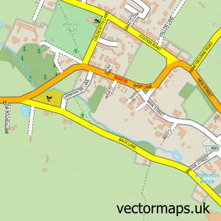
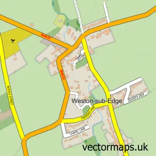
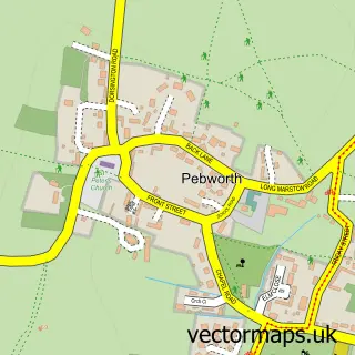
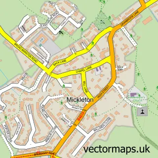
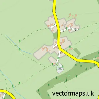
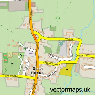
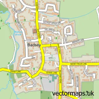
Nearby street map samples around Honeybourne

More street maps in Worcestershire
750 metre map area coverage
Boundary, postcode and point of interest information for the 750m x 750m rectangle centred on this sample map.
Boundaries containing map centre
Constituency: Droitwich and Evesham Co Const
County: Worcestershire County
District: Wychavon District
Icb: NHS Herefordshire and Worcestershire ICB
Parish: Honeybourne CP
Police Force: west mercia
Postcode District: WR11
Postcode Sector: WR11 7
Ward: Honeybourne, Pebworth & The Littletons Ward
Nearby boundaries intersecting sample
No additional intersecting boundaries found.
Postcode coverage
POI category counts
Pub: 3
Arts And Crafts: 2
Caterer: 2
Convenience Store: 2
Pet Services: 2
Post Office: 2
Walking Tours: 2
British Restaurant: 1
Building Supply Store: 1
Chinese Restaurant: 1
Sample points of interest
- Fill the Frame
- Honeybourne Pottery
- Will's Kitchen & Carvery at The Gate Inn
- Brush 'n' Dust
- Fiesta Cakes & Caterers of Wickhamford
- Village Hall, Honeybourne
- Jasmine Palace
- Costa Express
- Honeybourne Post Office
- One Stop
- Post Office Travel Money
- Mezzo Dance Company - Honeybourne
Create a larger editable map of Honeybourne
This sample shows only a 750 metre area. To create a larger map of Honeybourne, use our map builder to choose your own coverage area, add titles and download editable SVG, PDF and PNG files.
Create a custom map of Honeybourne