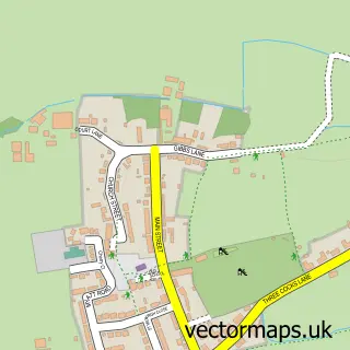
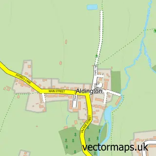
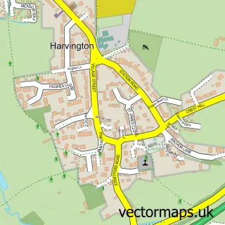
This South Littleton street map is a detailed vector street map covering a 750m x 750m area. Select a larger area to create and download your own vector street map of South Littleton.
The 750-metre map sample for South Littleton covers 201 mapped buildings and approximately 14.3 km of road detail, of which 14 named roads are named. The immediate area includes 1 school and 1 MOT station, with 2 within 2 miles. The wider area around South Littleton features 1 tourism point of interest and 1 food and drink venue. To create a larger or custom map of South Littleton, the map builder lets you define your own coverage area and download editable SVG, PDF and PNG files.
Create a larger editable map of South Littleton
Choose any area you need and generate a high-quality vector map instantly. Perfect for print, planning, design, business and personal use.

This South Littleton street map in Worcestershire is available as downloadable SVG, PDF and PNG map files, or as a printed map for planning, business, display, education, local information and design work. You can also create a larger custom map area using the map selector.
What this South Littleton map sample shows
South Littleton lies within South Littleton Cp parish, part of The Littletons ward in the Wychavon District local authority area. The postcode geography for this area includes the WR postcode area, the WR11 postcode district and the WR11 8 postcode sector. Residents fall under the Nhs Herefordshire And Worcestershire Integrated Care Board for NHS services.
Local features near South Littleton
Within 2 milesAmenities and services in and around South Littleton.
Administrative and postcode information for South Littleton
South Littleton lies within South Littleton Cp parish, part of The Littletons ward in the Wychavon District local authority area. The postcode geography for this area includes the WR postcode area, the WR11 postcode district and the WR11 8 postcode sector. Residents fall under the Nhs Herefordshire And Worcestershire Integrated Care Board for NHS services.
Nearby street map samples around South Littleton
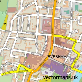

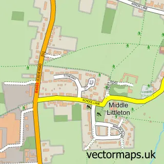
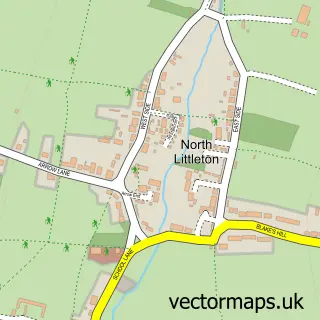
More street maps in Worcestershire
750 metre map area coverage
Boundary, postcode and point of interest information for the 750m x 750m rectangle centred on this sample map.
Boundaries containing map centre
Constituency: Droitwich and Evesham Co Const
County: Worcestershire County
District: Wychavon District
Icb: NHS Herefordshire and Worcestershire ICB
Parish: South Littleton CP
Police Force: west mercia
Postcode District: WR11
Postcode Sector: WR11 8
Ward: Honeybourne, Pebworth & The Littletons Ward
Nearby boundaries intersecting sample
Parish: North and Middle Littleton CP
Postcode coverage
POI category counts
Convenience Store: 4
Caterer: 2
Post Office: 2
Scout Hall: 2
Anglican Church: 1
Architectural Designer: 1
Automotive: 1
Automotive Repair: 1
Business Management Services: 1
Clothing Store: 1
Sample points of interest
- St Michael the Archangel
- Blenheim Architectural Services
- Vale Workshop Supplies Ltd
- A J Towey Services Ltd
- Just Fits
- Arden Pig Company
- Food Genie
- Millinery Matters
- Costa Express
- Educandi
- Premier
- SPAR
Create a larger editable map of South Littleton
This sample shows only a 750 metre area. To create a larger map of South Littleton, use our map builder to choose your own coverage area, add titles and download editable SVG, PDF and PNG files.
Create a custom map of South Littleton