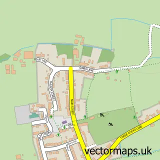
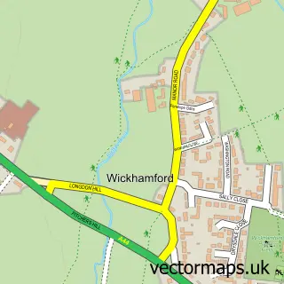
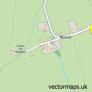
This Aldington street map is a detailed vector street map covering a 750m x 750m area. Select a larger area to create and download your own vector street map of Aldington.
The 750-metre map sample for Aldington covers 104 mapped buildings and approximately 7.7 km of road detail, of which 8 named roads are named. The immediate area includes 4 GP surgeries within 2 miles and 15 MOT stations within 2 miles. To create a larger or custom map of Aldington, the map builder lets you define your own coverage area and download editable SVG, PDF and PNG files.
Create a larger editable map of Aldington
Choose any area you need and generate a high-quality vector map instantly. Perfect for print, planning, design, business and personal use.

This Aldington street map in Worcestershire is available as downloadable SVG, PDF and PNG map files, or as a printed map for planning, business, display, education, local information and design work. You can also create a larger custom map area using the map selector.
What this Aldington map sample shows
Aldington lies within Aldington Cp parish, part of Badsey ward in the Wychavon District local authority area. The postcode geography for this area includes the WR postcode area, the WR11 postcode district and the WR11 7 postcode sector. Residents fall under the Nhs Herefordshire And Worcestershire Integrated Care Board for NHS services.
Local features near Aldington
Within 2 milesAmenities and services in and around Aldington.
Administrative and postcode information for Aldington
The local authority covering Aldington is Wychavon District, within the county of Worcestershire. The settlement lies within Badsey ward and Aldington Cp civil parish. The WR11 postcode district and WR11 7 postcode sector serve the immediate area. NHS provision in the area is delivered through Worcestershire Acute Hospitals Nhs Trust.
Nearby street map samples around Aldington

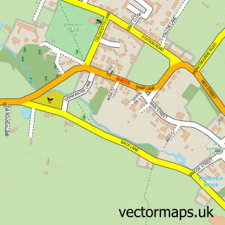
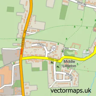
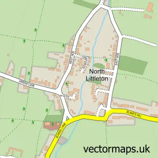
More street maps in Worcestershire
750 metre map area coverage
Boundary, postcode and point of interest information for the 750m x 750m rectangle centred on this sample map.
Boundaries containing map centre
Constituency: Droitwich and Evesham Co Const
County: Worcestershire County
District: Wychavon District
Icb: NHS Herefordshire and Worcestershire ICB
Parish: Aldington CP
Police Force: west mercia
Postcode District: WR11
Postcode Sector: WR11 7
Ward: Badsey & Aldington Ward
Nearby boundaries intersecting sample
Parish: Badsey CP
Ward: Bengeworth Ward, Bretforton & Offenham Ward
Postcode coverage
POI category counts
Carpet Store: 2
Audiovisual Equipment Rental: 1
Building Supply Store: 1
Contractor: 1
Flowers And Gifts Shop: 1
Metal Fabricator: 1
Retail: 1
Sample points of interest
- Alan Wilks Scaffolding
- Meon Brick
- Floors of Evesham
- Floors of Evesham
- Castle Paving & Sons
- The Little Cotswold Gift Company
- All Purpose Mobile Welding
- Beautiful Blooms Floral Design
Create a larger editable map of Aldington
This sample shows only a 750 metre area. To create a larger map of Aldington, use our map builder to choose your own coverage area, add titles and download editable SVG, PDF and PNG files.
Create a custom map of Aldington