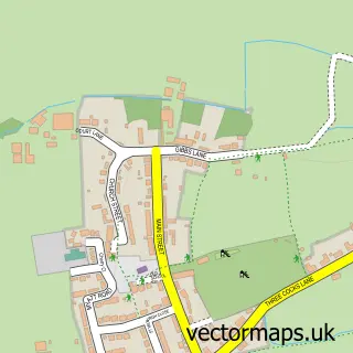
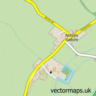
This Middle Littleton street map is a detailed vector street map covering a 750m x 750m area. Select a larger area to create and download your own vector street map of Middle Littleton.
The 750-metre map sample for Middle Littleton covers 184 mapped buildings and approximately 14.6 km of road detail, of which 8 named roads are named. The immediate area includes 2 MOT stations within 2 miles. The wider area around Middle Littleton features 1 tourism point of interest and 1 hotel. To create a larger or custom map of Middle Littleton, the map builder lets you define your own coverage area and download editable SVG, PDF and PNG files.
Create a larger editable map of Middle Littleton
Choose any area you need and generate a high-quality vector map instantly. Perfect for print, planning, design, business and personal use.

This Middle Littleton street map in Worcestershire is available as downloadable SVG, PDF and PNG map files, or as a printed map for planning, business, display, education, local information and design work. You can also create a larger custom map area using the map selector.
What this Middle Littleton map sample shows
Middle Littleton lies within North And Middle Littleton Cp parish, part of The Littletons ward in the Wychavon District local authority area. The postcode geography for this area includes the WR postcode area, the WR11 postcode district and the WR11 8 postcode sector. Residents fall under the Nhs Herefordshire And Worcestershire Integrated Care Board for NHS services.
Local features near Middle Littleton
Within 2 milesAmenities and services in and around Middle Littleton.
Administrative and postcode information for Middle Littleton
The local authority covering Middle Littleton is Wychavon District, within the county of Worcestershire. The settlement lies within The Littletons ward and North And Middle Littleton Cp civil parish. The WR11 postcode district and WR11 8 postcode sector serve the immediate area. NHS provision in the area is delivered through Worcestershire Acute Hospitals Nhs Trust.
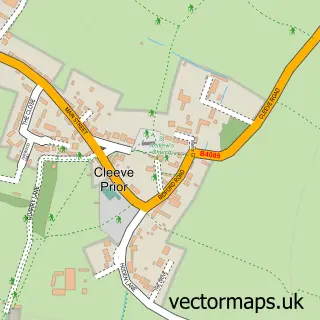
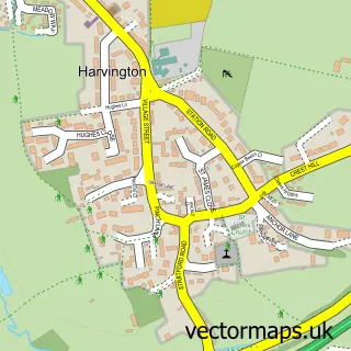
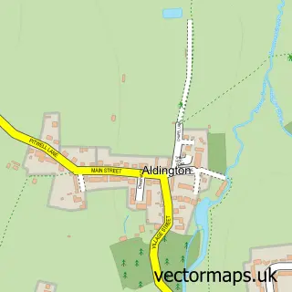
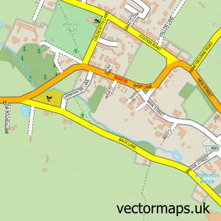
Nearby street map samples around Middle Littleton

More street maps in Worcestershire
750 metre map area coverage
Boundary, postcode and point of interest information for the 750m x 750m rectangle centred on this sample map.
Boundaries containing map centre
Constituency: Droitwich and Evesham Co Const
County: Worcestershire County
District: Wychavon District
Icb: NHS Herefordshire and Worcestershire ICB
Parish: North and Middle Littleton CP
Police Force: west mercia
Postcode District: WR11
Postcode Sector: WR11 8
Ward: Honeybourne, Pebworth & The Littletons Ward
Nearby boundaries intersecting sample
No additional intersecting boundaries found.
Postcode coverage
POI category counts
Building Supply Store: 2
Arts And Entertainment: 1
Charity Organization: 1
Church Cathedral: 1
Event Technology Service: 1
Hotel: 1
Hvac Supplier: 1
Landmark And Historical Building: 1
Specialty Foods: 1
Web Designer: 1
Sample points of interest
- Middle Littleton
- Pete Bott Skips
- The Cotswolds Building and Interiors Co
- The Farm Animal Sanctuary
- St Nicholas Church
- Ann Summers Party Planner
- Middle Littleton Manor
- Nick Clifton Plumbing & Heating
- Middle Littleton Tithe Barn
- Meadwell Farm Shop
- Web Culture
Create a larger editable map of Middle Littleton
This sample shows only a 750 metre area. To create a larger map of Middle Littleton, use our map builder to choose your own coverage area, add titles and download editable SVG, PDF and PNG files.
Create a custom map of Middle Littleton