Vector Maps logo
Home Why it works Popular maps Districts Samples Customizer Create Your Map
VectorMaps.uk
Home Popular maps Districts Samples Customizer Create Your Map Privacy Disclaimer
Home / UK Maps / Gloucestershire / Willersey Map

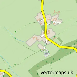
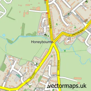
This Willersey street map is a detailed vector street map covering a 750m x 750m area. Select a larger area to create and download your own vector street map of Willersey.

Willersey is a village in Gloucestershire, in the South West of England. The settlement falls within the The Cotswolds parliamentary constituency. It is served by the WR12 postcode district, with WR12 7 as the local postcode sector.

The 750-metre map sample for Willersey covers 283 mapped buildings and approximately 23.4 km of road detail, of which 17 named roads are named. The immediate area includes 1 school, 1 GP surgery within 2 miles, 2 pubs and 2 MOT stations within 2 miles. The wider area around Willersey features 1 tourism point of interest, 5 food and drink venues and 1 hotel. To create a larger or custom map of Willersey, the map builder lets you define your own coverage area and download editable SVG, PDF and PNG files.

283Buildings
23.43 kmRoads
17Named roads
2,456Residents within 2 miles
Create your own

Create a larger editable map of Willersey

Choose any area you need and generate a high-quality vector map instantly. Perfect for print, planning, design, business and personal use.

Choose any location
Editable SVG files
Any size up to A0
PDF, PNG & more
Instant download
High quality guaranteed
Create My Custom Map
Secure, private & no credit card required
Willersey Vector Street Map
750m Sample
Willersey vector street map sample showing roads, buildings and local features in a 750 metre preview area
Buy Willersey Map Print from £12.95 Buy Willersey Digital Map from £6

This Willersey street map in Gloucestershire is available as downloadable SVG, PDF and PNG map files, or as a printed map for planning, business, display, education, local information and design work. You can also create a larger custom map area using the map selector.

What this Willersey map sample shows

Willersey lies within Willersey Cp parish, part of Campden & Vale ward in the Cotswold District local authority area. The postcode geography for this area includes the WR postcode area, the WR12 postcode district and the WR12 7 postcode sector. Residents fall under the Nhs Gloucestershire Integrated Care Board for NHS services.

Local features near Willersey

Within 2 miles

Amenities and services in and around Willersey.

1 Schools
1 Campsites within 2 miles
1 GP surgeries within 2 miles
2 MOT stations within 2 miles
1 Tourism & leisure
5 Food & drink
2 Pubs
1 Hotels
2 Vehicle services

Counts are approximate and based on publicly available data.

Administrative and postcode information for Willersey

Willersey lies within Willersey Cp parish, part of Campden & Vale ward in the Cotswold District local authority area. The postcode geography for this area includes the WR postcode area, the WR12 postcode district and the WR12 7 postcode sector. Residents fall under the Nhs Gloucestershire Integrated Care Board for NHS services.

Parish Willersey CP
Ward Campden & Vale
District / local authority Cotswold District
County Gloucestershire
Historic county Gloucestershire
Postcode district WR12
Postcode sector WR12 7
Parliamentary constituency The Cotswolds
Region South West
Country England

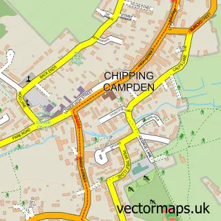
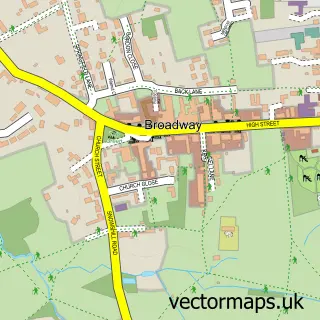
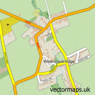
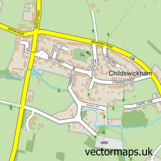
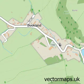
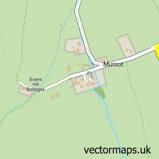
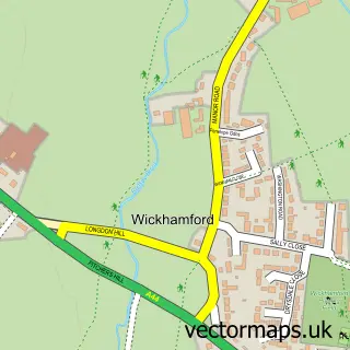
Nearby street map samples around Willersey

Street map sample of Chipping Campden, Gloucestershire Chipping Campden Town - Gloucestershire - 2.8 miles Street map sample of Worcester, Worcestershire Worcester City - Worcestershire - 18.5 miles Street map sample of Saintbury, Gloucestershire Saintbury Village - Gloucestershire - 0.6 miles Street map sample of Broadway, Worcestershire Broadway Village - Worcestershire - 1.5 miles Street map sample of Weston-sub-Edge, Gloucestershire Weston-sub-Edge Village - Gloucestershire - 1.5 miles Street map sample of Childswickham, Worcestershire Childswickham Village - Worcestershire - 2.1 miles Street map sample of Buckland, Gloucestershire Buckland Village - Gloucestershire - 2.7 miles Street map sample of Murcot, Worcestershire Murcot Village - Worcestershire - 2.7 miles Street map sample of Wickhamford, Worcestershire Wickhamford Village - Worcestershire - 2.8 miles Street map sample of Honeybourne, Worcestershire Honeybourne Village - Worcestershire - 2.9 miles

More street maps in Gloucestershire

Street map sample of Saintbury, Gloucestershire Saintbury Village - 0.6 miles Street map sample of Weston-sub-Edge, Gloucestershire Weston-sub-Edge Village - 1.5 miles Street map sample of Buckland, Gloucestershire Buckland Village - 2.7 miles Street map sample of Chipping Campden, Gloucestershire Chipping Campden Town - 2.8 miles Street map sample of Laverton, Gloucestershire Laverton Village - 3.2 miles

750 metre map area coverage

Boundary, postcode and point of interest information for the 750m x 750m rectangle centred on this sample map.

Boundaries containing map centre

Constituency: North Cotswolds Co Const

County: Gloucestershire County

District: Cotswold District

Icb: NHS Gloucestershire ICB

Parish: Willersey CP

Police Force: gloucestershire

Postcode District: WR12

Postcode Sector: WR12 7

Ward: Campden & Vale Ward

Nearby boundaries intersecting sample

Parish: Saintbury CP

Postcode coverage

WR12 WR12 7

POI category counts

Restaurant: 3

Pub: 2

Anglican Church: 1

Auto Body Shop: 1

Automotive Repair: 1

Bar: 1

Beauty And Spa: 1

Bed And Breakfast: 1

Cabin: 1

Cleaning Services: 1

Sample points of interest

  • St Peter, Willersey with Saintbury Anglican Church
  • H J Taylor Auto Body Shop
  • Willersey Garage Automotive Repair
  • Giddy Up Bar
  • Dollhouse Nails Beauty And Spa
  • Ashbrook Barn Bed & Breakfast Bed And Breakfast
  • Campion Cottage Cabin
  • Blast It Cleaning Services
  • GHF Contracting Construction Services
  • Willersey Stores Convenience Store
  • Willersey Primary School Elementary School
  • Pace Gas Station

Create a larger editable map of Willersey

This sample shows only a 750 metre area. To create a larger map of Willersey, use our map builder to choose your own coverage area, add titles and download editable SVG, PDF and PNG files.

Create a custom map of Willersey

Phone 01751 473136 | Copyright Vectormaps.uk 2026

Samples Customizer Privacy Disclaimer
Willersey Vector Street Map
Willersey enlarged street map sample showing a 750 metre preview area