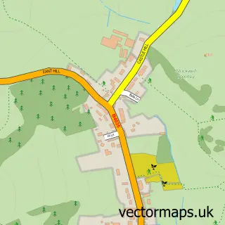
This Burmington street map is a detailed vector street map covering a 750m x 750m area. Select a larger area to create and download your own vector street map of Burmington.
The 750-metre map sample for Burmington covers 65 mapped buildings and approximately 16.2 km of road detail, of which 2 named roads are named. The immediate area includes 1 GP surgery within 2 miles and 2 MOT stations within 2 miles. The wider area around Burmington features 1 tourism point of interest. To create a larger or custom map of Burmington, the map builder lets you define your own coverage area and download editable SVG, PDF and PNG files.
Create a larger editable map of Burmington
Choose any area you need and generate a high-quality vector map instantly. Perfect for print, planning, design, business and personal use.

This Burmington street map in Warwickshire is available as downloadable SVG, PDF and PNG map files, or as a printed map for planning, business, display, education, local information and design work. You can also create a larger custom map area using the map selector.
What this Burmington map sample shows
Burmington lies within Burmington Cp parish, part of Shipston South ward in the Stratford-On-Avon District local authority area. The postcode geography for this area includes the CV postcode area, the CV36 postcode district and the CV36 5 postcode sector. Residents fall under the Nhs Coventry And Warwickshire Integrated Care Board for NHS services.
Local features near Burmington
Within 2 milesAmenities and services in and around Burmington.
Administrative and postcode information for Burmington
Burmington lies within Burmington Cp parish, part of Shipston South ward in the Stratford-On-Avon District local authority area. The postcode geography for this area includes the CV postcode area, the CV36 postcode district and the CV36 5 postcode sector. Residents fall under the Nhs Coventry And Warwickshire Integrated Care Board for NHS services.
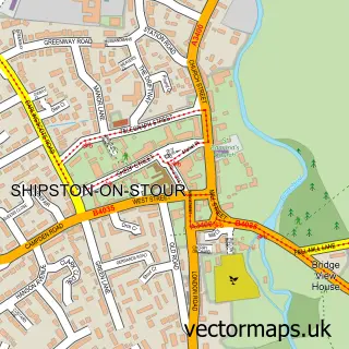
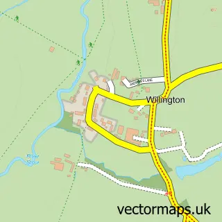
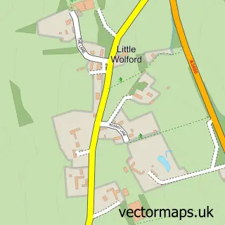
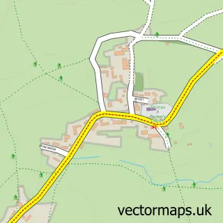
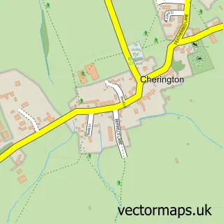
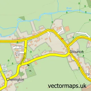
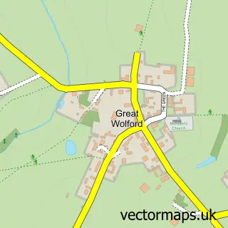
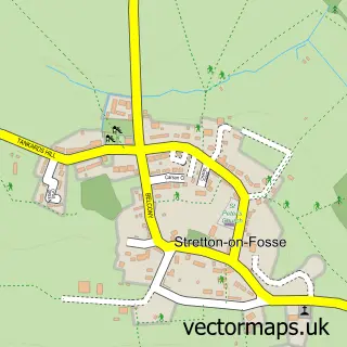
Nearby street map samples around Burmington

More street maps in Warwickshire
750 metre map area coverage
Boundary, postcode and point of interest information for the 750m x 750m rectangle centred on this sample map.
Boundaries containing map centre
Constituency: Stratford-on-Avon Co Const
County: Warwickshire County
District: Stratford-on-Avon District
Icb: NHS Coventry and Warwickshire ICB
Parish: Burmington CP
Police Force: warwickshire
Postcode District: CV36
Postcode Sector: CV36 5
Ward: Shipston South Ward
Nearby boundaries intersecting sample
Parish: Tidmington CP
Postcode coverage
POI category counts
Agricultural Service: 1
Agriculture: 1
Anglican Church: 1
Building Supply Store: 1
Campground: 1
Furniture Store: 1
Holiday Rental Home: 1
Printing Services: 1
Religious Organization: 1
Retail: 1
Sample points of interest
- Ash tree care
- Warwickshire Walnuts
- Burmington - St. Barnabas and St. Nicholas
- JMF Landscapes & Paving
- The Pro Dog Trainer
- Flower Funky
- Burmington Barn
- Burmington Village Hall
- House of Bread at the Mill
- Taste of the Country
Create a larger editable map of Burmington
This sample shows only a 750 metre area. To create a larger map of Burmington, use our map builder to choose your own coverage area, add titles and download editable SVG, PDF and PNG files.
Create a custom map of Burmington