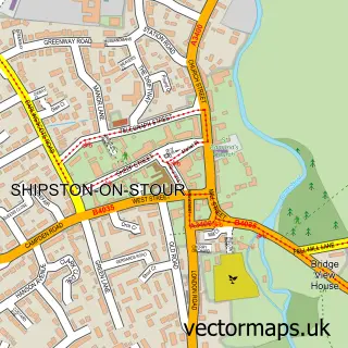
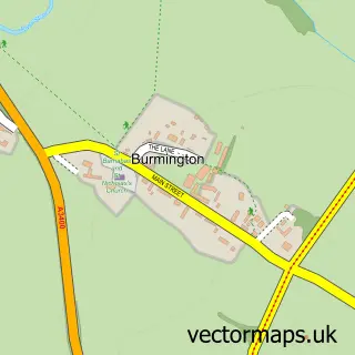
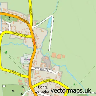
This Stourton street map is a detailed vector street map covering a 750m x 750m area. Select a larger area to create and download your own vector street map of Stourton.
The 750-metre map sample for Stourton covers 140 mapped buildings and approximately 14.7 km of road detail, of which 4 named roads are named. The immediate area includes 2 pubs and 1 MOT station within 2 miles. The wider area around Stourton features 2 food and drink venues. To create a larger or custom map of Stourton, the map builder lets you define your own coverage area and download editable SVG, PDF and PNG files.
Create a larger editable map of Stourton
Choose any area you need and generate a high-quality vector map instantly. Perfect for print, planning, design, business and personal use.

This Stourton street map in Warwickshire is available as downloadable SVG, PDF and PNG map files, or as a printed map for planning, business, display, education, local information and design work. You can also create a larger custom map area using the map selector.
What this Stourton map sample shows
Stourton lies within Stourton Cp parish, part of Brailes & Compton ward in the Stratford-On-Avon District local authority area. The postcode geography for this area includes the CV postcode area, the CV36 postcode district and the CV36 5 postcode sector. Residents fall under the Nhs Coventry And Warwickshire Integrated Care Board for NHS services.
Local features near Stourton
Within 2 milesAmenities and services in and around Stourton.
Administrative and postcode information for Stourton
Stourton lies within Stourton Cp parish, part of Brailes & Compton ward in the Stratford-On-Avon District local authority area. The postcode geography for this area includes the CV postcode area, the CV36 postcode district and the CV36 5 postcode sector. Residents fall under the Nhs Coventry And Warwickshire Integrated Care Board for NHS services.
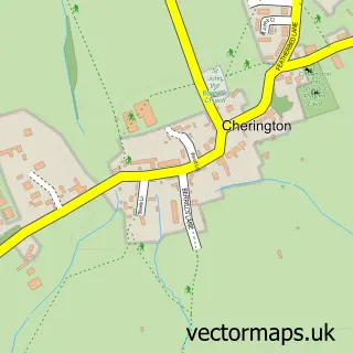
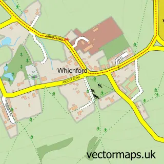
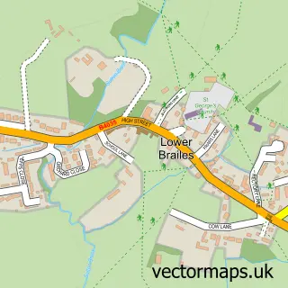
Nearby street map samples around Stourton

More street maps in Warwickshire
750 metre map area coverage
Boundary, postcode and point of interest information for the 750m x 750m rectangle centred on this sample map.
Boundaries containing map centre
Constituency: Stratford-on-Avon Co Const
County: Warwickshire County
District: Stratford-on-Avon District
Icb: NHS Coventry and Warwickshire ICB
Parish: Stourton CP
Police Force: warwickshire
Postcode District: CV36
Postcode Sector: CV36 5
Ward: Brailes & Compton Ward
Nearby boundaries intersecting sample
Parish: Cherington CP, Sutton-under-Brailes CP
Postcode District: OX15
Postcode Sector: OX15 5
Postcode coverage
POI category counts
Pub: 2
Anglican Church: 1
Appliance Store: 1
Church Cathedral: 1
Distillery: 1
Event Planning: 1
Grilling Equipment: 1
Industrial Equipment: 1
Metal Supplier: 1
Real Estate: 1
Sample points of interest
- St. John the Baptist, Cherington
- Access Appraisals Ltd.
- Cherington Church
- Cotswolds Distillery
- The Hall Cherington, Stourton and Sutton under Brailes
- Spitting Pig Central
- K A Perkins
- Cotswold Decorative Ironworkers
- Cherington Arms
- The Cherington
- Stourton Manor
- The Middle of Nowhere
Create a larger editable map of Stourton
This sample shows only a 750 metre area. To create a larger map of Stourton, use our map builder to choose your own coverage area, add titles and download editable SVG, PDF and PNG files.
Create a custom map of Stourton