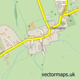
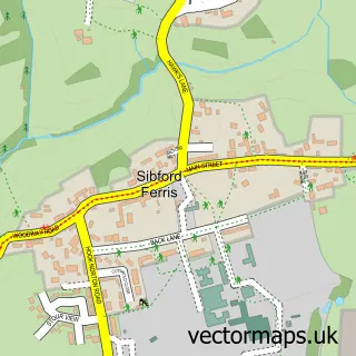
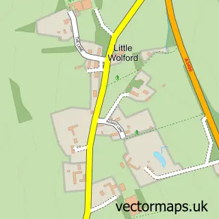
This Whichford street map is a detailed vector street map covering a 750m x 750m area. Select a larger area to create and download your own vector street map of Whichford.
The 750-metre map sample for Whichford covers 129 mapped buildings and approximately 16.0 km of road detail, of which 4 named roads are named. The immediate area includes 1 pub and 1 MOT station within 2 miles. The wider area around Whichford features 1 tourism point of interest and 2 food and drink venues. To create a larger or custom map of Whichford, the map builder lets you define your own coverage area and download editable SVG, PDF and PNG files.
Create a larger editable map of Whichford
Choose any area you need and generate a high-quality vector map instantly. Perfect for print, planning, design, business and personal use.

This Whichford street map in Warwickshire is available as downloadable SVG, PDF and PNG map files, or as a printed map for planning, business, display, education, local information and design work. You can also create a larger custom map area using the map selector.
What this Whichford map sample shows
Whichford lies within Whichford Cp parish, part of Brailes & Compton ward in the Stratford-On-Avon District local authority area. The postcode geography for this area includes the CV postcode area, the CV36 postcode district and the CV36 5 postcode sector. Residents fall under the Nhs Coventry And Warwickshire Integrated Care Board for NHS services.
Local features near Whichford
Within 2 milesAmenities and services in and around Whichford.
Administrative and postcode information for Whichford
Whichford lies within Whichford Cp parish, part of Brailes & Compton ward in the Stratford-On-Avon District local authority area. The postcode geography for this area includes the CV postcode area, the CV36 postcode district and the CV36 5 postcode sector. Residents fall under the Nhs Coventry And Warwickshire Integrated Care Board for NHS services.
Nearby street map samples around Whichford

More street maps in Warwickshire
750 metre map area coverage
Boundary, postcode and point of interest information for the 750m x 750m rectangle centred on this sample map.
Boundaries containing map centre
Constituency: Stratford-on-Avon Co Const
County: Warwickshire County
District: Stratford-on-Avon District
Icb: NHS Coventry and Warwickshire ICB
Parish: Whichford CP
Police Force: warwickshire
Postcode District: CV36
Postcode Sector: CV36 5
Ward: Brailes & Compton Ward
Nearby boundaries intersecting sample
No additional intersecting boundaries found.
Postcode coverage
POI category counts
Arts And Crafts: 2
Anglican Church: 1
Animal Hospital: 1
Beauty Salon: 1
Bed And Breakfast: 1
Campground: 1
Candy Store: 1
Coffee Shop: 1
Contractor: 1
Holiday Rental Home: 1
Sample points of interest
- Whichford - St. Michael
- Regal Equestrian
- Whichford Pottery
- Whichford Pottery
- Glam and Pamper
- Wayside House Bed & Breakfast
- Cotswolds Camping at Holycombe
- Things Just Got Sweet
- The Straw Kitchen
- Midland Slurry Systems
- Hops and the Vines
- The Norman Knight
Create a larger editable map of Whichford
This sample shows only a 750 metre area. To create a larger map of Whichford, use our map builder to choose your own coverage area, add titles and download editable SVG, PDF and PNG files.
Create a custom map of Whichford