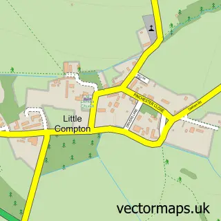
This Long Compton street map is a detailed vector street map covering a 750m x 750m area. Select a larger area to create and download your own vector street map of Long Compton.
The 750-metre map sample for Long Compton covers 147 mapped buildings and approximately 15.7 km of road detail, of which 10 named roads are named. The immediate area includes 1 MOT station. The wider area around Long Compton features 1 hotel. To create a larger or custom map of Long Compton, the map builder lets you define your own coverage area and download editable SVG, PDF and PNG files.
Create a larger editable map of Long Compton
Choose any area you need and generate a high-quality vector map instantly. Perfect for print, planning, design, business and personal use.

This Long Compton street map in Warwickshire is available as downloadable SVG, PDF and PNG map files, or as a printed map for planning, business, display, education, local information and design work. You can also create a larger custom map area using the map selector.
What this Long Compton map sample shows
Long Compton lies within Long Compton Cp parish, part of Brailes & Compton ward in the Stratford-On-Avon District local authority area. The postcode geography for this area includes the CV postcode area, the CV36 postcode district and the CV36 5 postcode sector. Residents fall under the Nhs Coventry And Warwickshire Integrated Care Board for NHS services.
Local features near Long Compton
Within 2 milesAmenities and services in and around Long Compton.
Administrative and postcode information for Long Compton
Long Compton lies within Long Compton Cp parish, part of Brailes & Compton ward in the Stratford-On-Avon District local authority area. The postcode geography for this area includes the CV postcode area, the CV36 postcode district and the CV36 5 postcode sector. Residents fall under the Nhs Coventry And Warwickshire Integrated Care Board for NHS services.
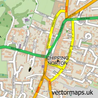
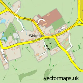
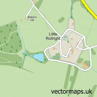
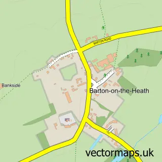
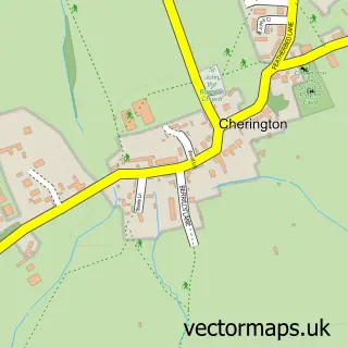
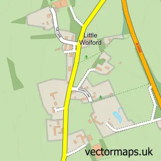
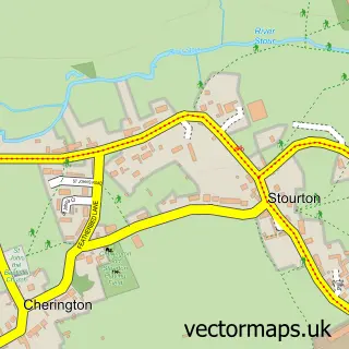
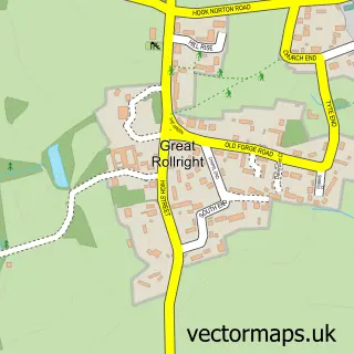
Nearby street map samples around Long Compton

More street maps in Warwickshire
750 metre map area coverage
Boundary, postcode and point of interest information for the 750m x 750m rectangle centred on this sample map.
Boundaries containing map centre
Constituency: Stratford-on-Avon Co Const
County: Warwickshire County
District: Stratford-on-Avon District
Icb: NHS Coventry and Warwickshire ICB
Parish: Long Compton CP
Police Force: warwickshire
Postcode District: CV36
Postcode Sector: CV36 5
Ward: Brailes & Compton Ward
Nearby boundaries intersecting sample
No additional intersecting boundaries found.
Postcode coverage
POI category counts
Automotive Repair: 3
Anglican Church: 1
Beauty Salon: 1
Butcher Shop: 1
Caterer: 1
Childrens Clothing Store: 1
Church Cathedral: 1
Crops Production: 1
Graphic Designer: 1
Hotel: 1
Sample points of interest
- St. Peter & St. Paul, Long Compton
- Compton Accident Repair Specialists
- Compton Accident Repair Specialists
- OB Car Repairs
- Cotswold Hair Company
- Long Compton Abattoir
- Miss Ingredient
- The Cotswold Bridal Boutique
- St Peter & St Paul Church
- G H Walton & Son
- Ergo Creative
- The Red Lion, Long Compton
Create a larger editable map of Long Compton
This sample shows only a 750 metre area. To create a larger map of Long Compton, use our map builder to choose your own coverage area, add titles and download editable SVG, PDF and PNG files.
Create a custom map of Long Compton