This Blackwell street map is a detailed vector street map covering a 750m x 750m area. Select a larger area to create and download your own vector street map of Blackwell.
The 750-metre map sample for Blackwell covers 74 mapped buildings and approximately 27.4 km of road detail, of which 2 named roads are named. The immediate area includes 1 GP surgery within 2 miles and 1 MOT station within 2 miles. To create a larger or custom map of Blackwell, the map builder lets you define your own coverage area and download editable SVG, PDF and PNG files.
Create a larger editable map of Blackwell
Choose any area you need and generate a high-quality vector map instantly. Perfect for print, planning, design, business and personal use.

This Blackwell street map in Warwickshire is available as downloadable SVG, PDF and PNG map files, or as a printed map for planning, business, display, education, local information and design work. You can also create a larger custom map area using the map selector.
What this Blackwell map sample shows
Blackwell lies within Tredington Cp parish, part of Shipston North ward in the Stratford-On-Avon District local authority area. The postcode geography for this area includes the CV postcode area, the CV36 postcode district and the CV36 4 postcode sector. Residents fall under the Nhs Coventry And Warwickshire Integrated Care Board for NHS services.
Local features near Blackwell
Within 2 milesAmenities and services in and around Blackwell.
Administrative and postcode information for Blackwell
Blackwell lies within Tredington Cp parish, part of Shipston North ward in the Stratford-On-Avon District local authority area. The postcode geography for this area includes the CV postcode area, the CV36 postcode district and the CV36 4 postcode sector. Residents fall under the Nhs Coventry And Warwickshire Integrated Care Board for NHS services.
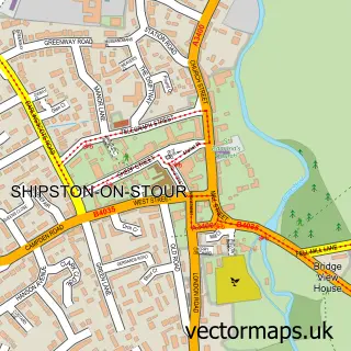
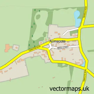
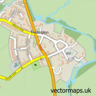
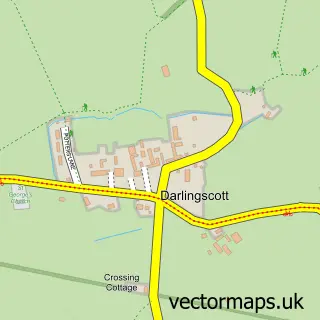
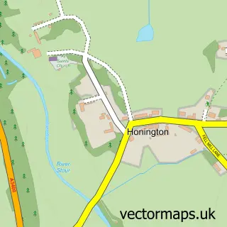
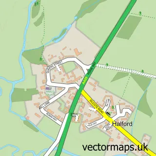
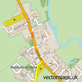
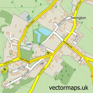
Nearby street map samples around Blackwell

More street maps in Warwickshire
750 metre map area coverage
Boundary, postcode and point of interest information for the 750m x 750m rectangle centred on this sample map.
Boundaries containing map centre
Constituency: Stratford-on-Avon Co Const
County: Warwickshire County
District: Stratford-on-Avon District
Icb: NHS Coventry and Warwickshire ICB
Parish: Tredington CP
Police Force: warwickshire
Postcode District: CV36
Postcode Sector: CV36 4
Ward: Tredington Ward
Nearby boundaries intersecting sample
No additional intersecting boundaries found.
Postcode coverage
POI category counts
Professional Services: 3
Engineering Services: 2
Linen: 2
Architect: 1
Bakery: 1
Bookstore: 1
Cleaning Services: 1
Commercial Real Estate: 1
Construction Services: 1
Event Planning: 1
Sample points of interest
- Tenderplan
- Meg Rivers Artisan Bakery
- Stephen Rench Books
- Cleanse Medical
- Blackwell Business Park
- D J Murphy Construction
- Coleshill Alarm Systems Ltd.
- Heath Engineering
- Blackwell Grange
- Greyhound Stoves
- Cotswold Teak
- Lightmaster Direct Ltd
Create a larger editable map of Blackwell
This sample shows only a 750 metre area. To create a larger map of Blackwell, use our map builder to choose your own coverage area, add titles and download editable SVG, PDF and PNG files.
Create a custom map of Blackwell