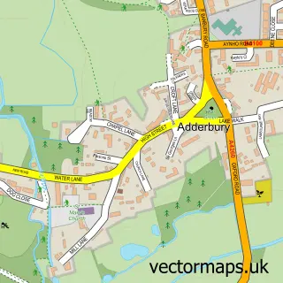
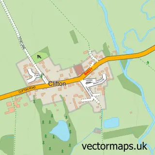
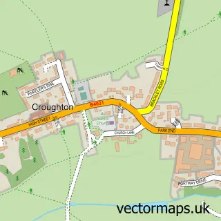
This Kings Sutton street map is a detailed vector street map covering a 750m x 750m area. Select a larger area to create and download your own vector street map of Kings Sutton.
The 750-metre map sample for Kings Sutton covers 479 mapped buildings and approximately 27.2 km of road detail, of which 29 named roads are named. The immediate area includes 1 school, 4 pubs and 1 MOT station within 2 miles. The wider area around Kings Sutton features 2 tourism points of interest, 5 food and drink venues and 1 campsite within 2 miles. To create a larger or custom map of Kings Sutton, the map builder lets you define your own coverage area and download editable SVG, PDF and PNG files.
Create a larger editable map of Kings Sutton
Choose any area you need and generate a high-quality vector map instantly. Perfect for print, planning, design, business and personal use.

This Kings Sutton street map in Northamptonshire is available as downloadable SVG, PDF and PNG map files, or as a printed map for planning, business, display, education, local information and design work. You can also create a larger custom map area using the map selector.
What this Kings Sutton map sample shows
Kings Sutton lies within Kings Sutton Cp parish, part of Kings Sutton ward in the West Northamptonshire local authority area. The postcode geography for this area includes the OX postcode area, the OX17 postcode district and the OX17 3 postcode sector. Residents fall under the Nhs Northamptonshire Integrated Care Board for NHS services.
Local features near Kings Sutton
Within 2 milesAmenities and services in and around Kings Sutton.
Administrative and postcode information for Kings Sutton
The local authority covering Kings Sutton is West Northamptonshire, within the county of Northamptonshire. The settlement lies within Kings Sutton ward and Kings Sutton Cp civil parish. The OX17 postcode district and OX17 3 postcode sector serve the immediate area. NHS provision in the area is delivered through Oxford University Hospitals Nhs Foundation Trust.
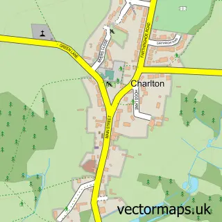
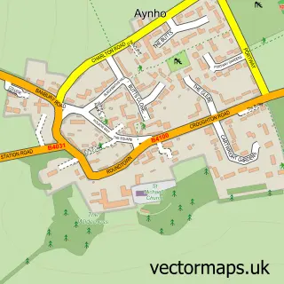
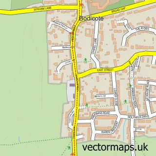
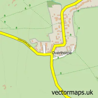
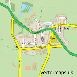
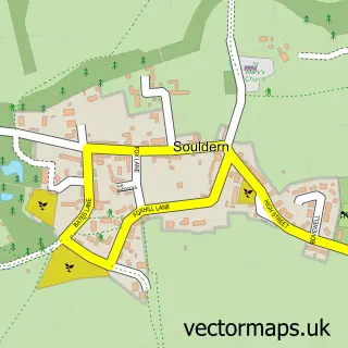
Nearby street map samples around Kings Sutton


More street maps in Northamptonshire
750 metre map area coverage
Boundary, postcode and point of interest information for the 750m x 750m rectangle centred on this sample map.
Boundaries containing map centre
Constituency: South Northamptonshire Co Const
District: West Northamptonshire
Icb: NHS Northamptonshire ICB
Parish: Kings Sutton CP
Police Force: northamptonshire
Postcode District: OX17
Postcode Sector: OX17 3
Ward: Middleton Cheney Ward
Nearby boundaries intersecting sample
No additional intersecting boundaries found.
Postcode coverage
POI category counts
Pub: 4
Beauty Salon: 3
Post Office: 3
Professional Services: 3
Electrician: 2
Elementary School: 2
Hair Salon: 2
Information Technology Company: 2
Park: 2
Pet Groomer: 2
Sample points of interest
- Spring Development
- Fired Up Studios
- Midcounties Co-Op Kings Sutton
- Hearing Choices UK
- Kings Sutton Garage
- King's Sutton Baptist Church
- Botanical Bath and Body Company
- Bella's Beauty Parlour
- Eclipse Therapy Centre
- Lashes at El's Boutique
- KS Garage - Banbury Car Repairs
- Field & Forest Services
Create a larger editable map of Kings Sutton
This sample shows only a 750 metre area. To create a larger map of Kings Sutton, use our map builder to choose your own coverage area, add titles and download editable SVG, PDF and PNG files.
Create a custom map of Kings Sutton