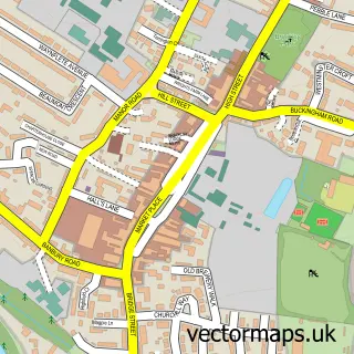
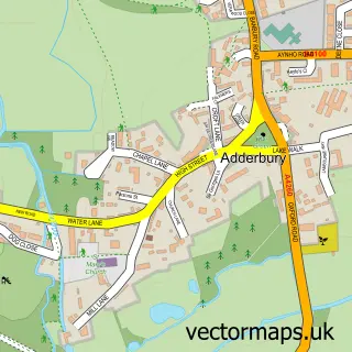
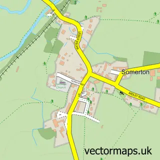
This Aynho street map is a detailed vector street map covering a 750m x 750m area. Select a larger area to create and download your own vector street map of Aynho.
The 750-metre map sample for Aynho covers 200 mapped buildings and approximately 15.5 km of road detail, of which 20 named roads are named. The immediate area includes 2 MOT stations within 2 miles. The wider area around Aynho features 3 tourism points of interest, 1 food and drink venue and 1 hotel. To create a larger or custom map of Aynho, the map builder lets you define your own coverage area and download editable SVG, PDF and PNG files.
Create a larger editable map of Aynho
Choose any area you need and generate a high-quality vector map instantly. Perfect for print, planning, design, business and personal use.

This Aynho street map in Northamptonshire is available as downloadable SVG, PDF and PNG map files, or as a printed map for planning, business, display, education, local information and design work. You can also create a larger custom map area using the map selector.
What this Aynho map sample shows
Aynho lies within Aynho Cp parish, part of Little Brook ward in the West Northamptonshire local authority area. The postcode geography for this area includes the OX postcode area, the OX17 postcode district and the OX17 3 postcode sector. Residents fall under the Nhs Northamptonshire Integrated Care Board for NHS services.
Local features near Aynho
Within 2 milesAmenities and services in and around Aynho.
Administrative and postcode information for Aynho
Aynho lies within Aynho Cp parish, part of Little Brook ward in the West Northamptonshire local authority area. The postcode geography for this area includes the OX postcode area, the OX17 postcode district and the OX17 3 postcode sector. Residents fall under the Nhs Northamptonshire Integrated Care Board for NHS services.
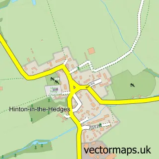
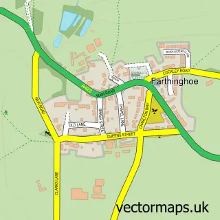
Nearby street map samples around Aynho

More street maps in Northamptonshire
750 metre map area coverage
Boundary, postcode and point of interest information for the 750m x 750m rectangle centred on this sample map.
Boundaries containing map centre
Constituency: South Northamptonshire Co Const
District: West Northamptonshire
Icb: NHS Northamptonshire ICB
Parish: Aynho CP
Police Force: northamptonshire
Postcode District: OX17
Postcode Sector: OX17 3
Ward: Middleton Cheney Ward
Nearby boundaries intersecting sample
No additional intersecting boundaries found.
Postcode coverage
POI category counts
Education: 2
Interior Design: 2
Tours: 2
Anglican Church: 1
Business Management Services: 1
College University: 1
Corporate Office: 1
Dairy Stores: 1
Driving School: 1
Event Planning: 1
Sample points of interest
- St Michael's Aynho
- Simplicity
- Engineering Your Future
- Stevensonics
- Westpoint Television
- Ian's Driving School
- High Tension
- Pearson in Practice
- Aynhoe Park
- Rosie Clark Tennis Coaching
- Edge 2 Edge
- Cotswold Childcare
Create a larger editable map of Aynho
This sample shows only a 750 metre area. To create a larger map of Aynho, use our map builder to choose your own coverage area, add titles and download editable SVG, PDF and PNG files.
Create a custom map of Aynho