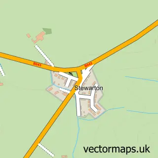
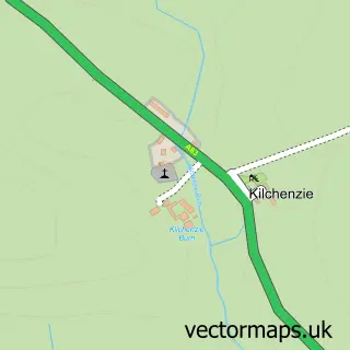
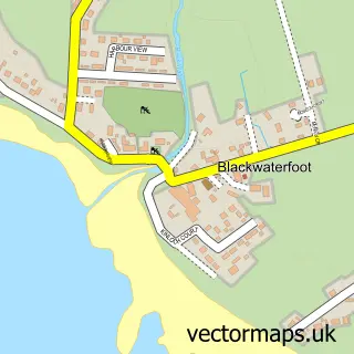
This Campbeltown street map is a detailed vector street map covering a 750m x 750m area. Select a larger area to create and download your own vector street map of Campbeltown.
The 750-metre map sample for Campbeltown covers 259 mapped buildings and approximately 17.6 km of road detail, of which 44 named roads are named. The immediate area includes 1 GP surgery, 5 pubs and 2 MOT stations, with 4 within 2 miles. The wider area around Campbeltown features 5 tourism points of interest, 15 food and drink venues and 7 hotels. To create a larger or custom map of Campbeltown, the map builder lets you define your own coverage area and download editable SVG, PDF and PNG files.
Create a larger editable map of Campbeltown
Choose any area you need and generate a high-quality vector map instantly. Perfect for print, planning, design, business and personal use.

This Campbeltown street map in Argyll and Bute is available as downloadable SVG, PDF and PNG map files, or as a printed map for planning, business, display, education, local information and design work. You can also create a larger custom map area using the map selector.
What this Campbeltown map sample shows
Campbeltown lies within Argyll And Bute parish, part of South Kintyre ward in the Argyll And Bute local authority area. The postcode geography for this area includes the PA postcode area, the PA28 postcode district and the PA28 6 postcode sector. Residents fall under the Highland for NHS services.
Local features near Campbeltown
Within 2 milesAmenities and services in and around Campbeltown.
Administrative and postcode information for Campbeltown
Campbeltown lies within Argyll And Bute parish, part of South Kintyre ward in the Argyll And Bute local authority area. The postcode geography for this area includes the PA postcode area, the PA28 postcode district and the PA28 6 postcode sector. Residents fall under the Highland for NHS services.
Nearby street map samples around Campbeltown

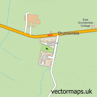
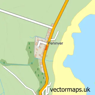
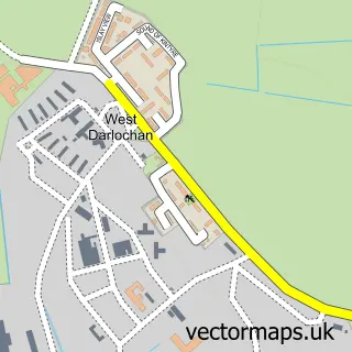
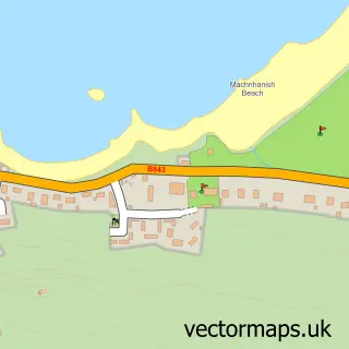
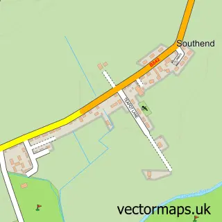
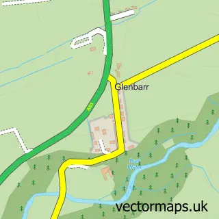
More street maps in Argyll and Bute
750 metre map area coverage
Boundary, postcode and point of interest information for the 750m x 750m rectangle centred on this sample map.
Boundaries containing map centre
Constituency: Argyll, Bute and South Lochaber Co Const
District: Argyll and Bute
Icb: Highland
Postcode District: PA28
Postcode Sector: PA28 6
Ward: South Kintyre Ward
Nearby boundaries intersecting sample
No additional intersecting boundaries found.
Postcode coverage
POI category counts
Beauty Salon: 8
Flowers And Gifts Shop: 8
Hotel: 7
Distillery: 6
Furniture Store: 5
Pub: 5
Restaurant: 5
Arts And Crafts: 4
Automotive Repair: 4
Beauty And Spa: 4
Sample points of interest
- Campbeltown, Mull of Kintyre.
- Jim Martin Supplies
- Campbeltown Airport
- British Red Cross
- The Curiosity Shop
- D M Fabrication
- Campbeltown War Memorial
- Rosslyn Oman Studio
- Campbeltown Pottery
- Coastal Design
- Made in Kintyre
- The Wallpaper Shop
Create a larger editable map of Campbeltown
This sample shows only a 750 metre area. To create a larger map of Campbeltown, use our map builder to choose your own coverage area, add titles and download editable SVG, PDF and PNG files.
Create a custom map of Campbeltown