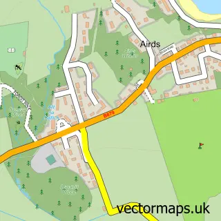
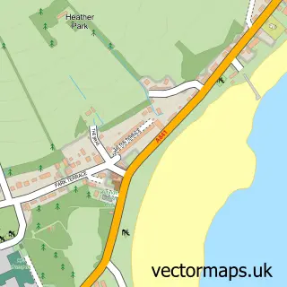
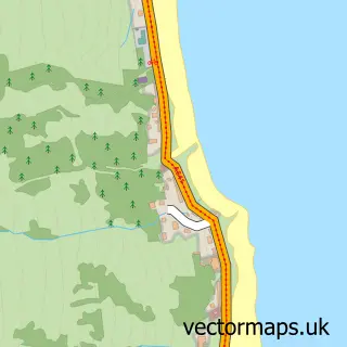
This Blackwaterfoot street map is a detailed vector street map covering a 750m x 750m area. Select a larger area to create and download your own vector street map of Blackwaterfoot.
The 750-metre map sample for Blackwaterfoot covers 139 mapped buildings and approximately 6.4 km of road detail, of which 2 named roads are named. The immediate area includes 1 MOT station. The wider area around Blackwaterfoot features 2 hotels. To create a larger or custom map of Blackwaterfoot, the map builder lets you define your own coverage area and download editable SVG, PDF and PNG files.
Create a larger editable map of Blackwaterfoot
Choose any area you need and generate a high-quality vector map instantly. Perfect for print, planning, design, business and personal use.

This Blackwaterfoot street map in Ayrshire and Arran is available as downloadable SVG, PDF and PNG map files, or as a printed map for planning, business, display, education, local information and design work. You can also create a larger custom map area using the map selector.
What this Blackwaterfoot map sample shows
Blackwaterfoot lies within North Ayrshire parish, part of Ardrossan And Arran ward in the North Ayrshire local authority area. Residents fall under the Ayrshire And Arran for NHS services.
Local features near Blackwaterfoot
Within 2 milesAmenities and services in and around Blackwaterfoot.
Administrative and postcode information for Blackwaterfoot
The local authority covering Blackwaterfoot is North Ayrshire, within the county of Ayrshire And Arran. The settlement lies within Ardrossan And Arran ward and North Ayrshire civil parish. NHS provision in the area is delivered through Ayrshire And Arran.
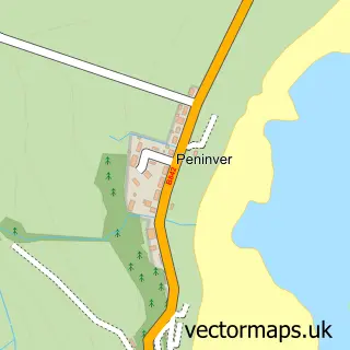
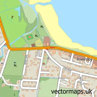
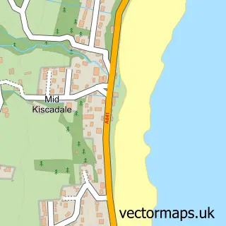
Nearby street map samples around Blackwaterfoot
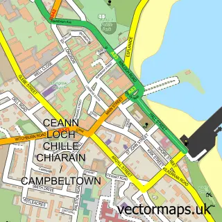

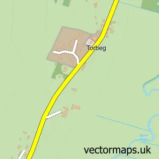
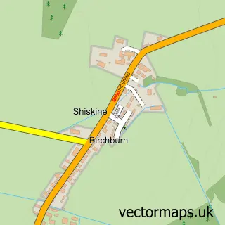
More street maps in Ayrshire and Arran
750 metre map area coverage
Boundary, postcode and point of interest information for the 750m x 750m rectangle centred on this sample map.
Boundaries containing map centre
Constituency: North Ayrshire and Arran Co Const
District: North Ayrshire
Icb: Ayrshire and Arran
Postcode District: KA27
Postcode Sector: KA27 8
Ward: Arran Ward
Nearby boundaries intersecting sample
No additional intersecting boundaries found.
Postcode coverage
POI category counts
Bakery: 2
Hotel: 2
Meat Wholesaler: 2
Automotive Repair: 1
Beach: 1
Beauty Salon: 1
Beverage Store: 1
British Restaurant: 1
Butcher Shop: 1
Ev Charging Station: 1
Sample points of interest
- Blackwaterfoot Garage
- Blackwater Bakehouse
- The Bakehouse
- Blackwaterfoot Beach
- Brae Hairdressing Salon - Blackwaterfoot - Isle of Arran
- Arran Lamb Co
- On a Roll
- The Arran Butcher
- Roam EV Charging Station
- Pace
- Hollinhaven Holiday letting
- Cairnhouse Stables - Horse Riding - Blackwaterfoot - Isle of Arran
Create a larger editable map of Blackwaterfoot
This sample shows only a 750 metre area. To create a larger map of Blackwaterfoot, use our map builder to choose your own coverage area, add titles and download editable SVG, PDF and PNG files.
Create a custom map of Blackwaterfoot