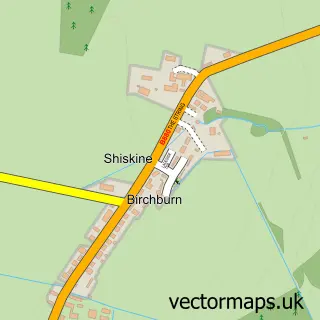
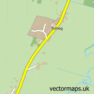
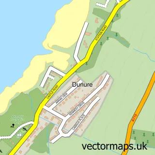
This Whiting Bay street map is a detailed vector street map covering a 750m x 750m area. Select a larger area to create and download your own vector street map of Whiting Bay.
The 750-metre map sample for Whiting Bay covers 125 mapped buildings and approximately 6.1 km of road detail, of which 1 named road are named. The wider area around Whiting Bay features 1 food and drink venue and 1 hotel. To create a larger or custom map of Whiting Bay, the map builder lets you define your own coverage area and download editable SVG, PDF and PNG files.
Create a larger editable map of Whiting Bay
Choose any area you need and generate a high-quality vector map instantly. Perfect for print, planning, design, business and personal use.

This Whiting Bay street map in Ayrshire and Arran is available as downloadable SVG, PDF and PNG map files, or as a printed map for planning, business, display, education, local information and design work. You can also create a larger custom map area using the map selector.
What this Whiting Bay map sample shows
Whiting Bay lies within North Ayrshire parish, part of Ardrossan And Arran ward in the North Ayrshire local authority area. The postcode geography for this area includes the KA postcode area, the KA27 postcode district and the KA27 8 postcode sector. Residents fall under the Ayrshire And Arran for NHS services.
Local features near Whiting Bay
Within 2 milesAmenities and services in and around Whiting Bay.
Administrative and postcode information for Whiting Bay
Whiting Bay lies within North Ayrshire parish, part of Ardrossan And Arran ward in the North Ayrshire local authority area. The postcode geography for this area includes the KA postcode area, the KA27 postcode district and the KA27 8 postcode sector. Residents fall under the Ayrshire And Arran for NHS services.
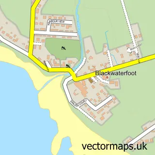
Nearby street map samples around Whiting Bay

More street maps in Ayrshire and Arran
750 metre map area coverage
Boundary, postcode and point of interest information for the 750m x 750m rectangle centred on this sample map.
Boundaries containing map centre
Constituency: North Ayrshire and Arran Co Const
District: North Ayrshire
Icb: Ayrshire and Arran
Postcode District: KA27
Postcode Sector: KA27 8
Ward: Arran Ward
Nearby boundaries intersecting sample
No additional intersecting boundaries found.
Postcode coverage
POI category counts
Art Gallery: 2
Arts And Crafts: 1
Bed And Breakfast: 1
Cafe: 1
Carpet Store: 1
Hardware Store: 1
Jewelry Store: 1
Shipping Center: 1
Sample points of interest
- Arran Art Gallery
- Heather Macleod Art
- Bay Wool and Crafts
- The Burlington
- The Shore
- County Carpets
- MBS Building & Timber Supplies
- Arran Art Gallery
- Whiting Bay Post Office
Create a larger editable map of Whiting Bay
This sample shows only a 750 metre area. To create a larger map of Whiting Bay, use our map builder to choose your own coverage area, add titles and download editable SVG, PDF and PNG files.
Create a custom map of Whiting Bay