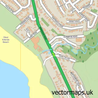
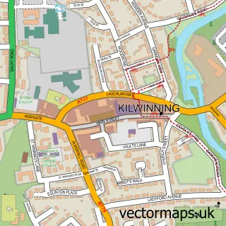
This Ardrossan street map is a detailed vector street map covering a 750m x 750m area. Select a larger area to create and download your own vector street map of Ardrossan.
The 750-metre map sample for Ardrossan covers 139 mapped buildings and approximately 11.2 km of road detail, of which 25 named roads are named. The immediate area includes 1 railway station, 1 GP surgery, with 3 within 2 miles, 3 pubs and 1 MOT station, with 9 within 2 miles. The wider area around Ardrossan features 2 tourism points of interest, 10 food and drink venues and 1 campsite within 2 miles. To create a larger or custom map of Ardrossan, the map builder lets you define your own coverage area and download editable SVG, PDF and PNG files.
Create a larger editable map of Ardrossan
Choose any area you need and generate a high-quality vector map instantly. Perfect for print, planning, design, business and personal use.

This Ardrossan street map in Ayrshire and Arran is available as downloadable SVG, PDF and PNG map files, or as a printed map for planning, business, display, education, local information and design work. You can also create a larger custom map area using the map selector.
What this Ardrossan map sample shows
Ardrossan lies within North Ayrshire parish, part of Ardrossan And Arran ward in the North Ayrshire local authority area. The postcode geography for this area includes the KA postcode area, the KA22 postcode district and the KA22 8 postcode sector. Residents fall under the Ayrshire And Arran for NHS services.
Local features near Ardrossan
Within 2 milesAmenities and services in and around Ardrossan.
Administrative and postcode information for Ardrossan
The local authority covering Ardrossan is North Ayrshire, within the county of Ayrshire And Arran. The settlement lies within Ardrossan And Arran ward and North Ayrshire civil parish. The KA22 postcode district and KA22 8 postcode sector serve the immediate area. NHS provision in the area is delivered through Ayrshire And Arran.
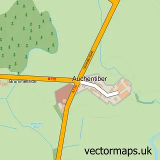
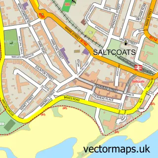
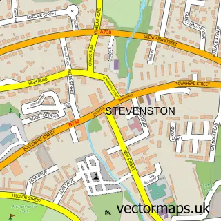
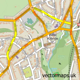
Nearby street map samples around Ardrossan

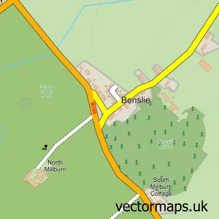
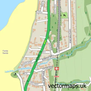
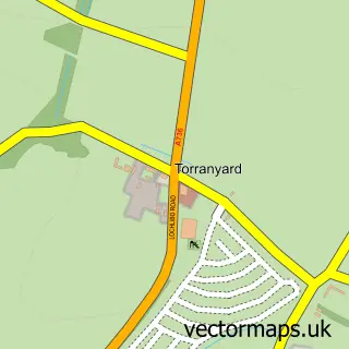
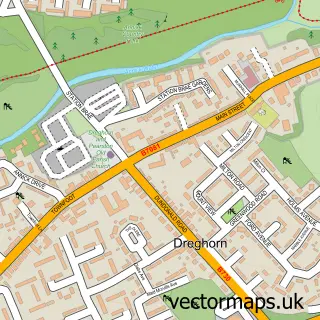
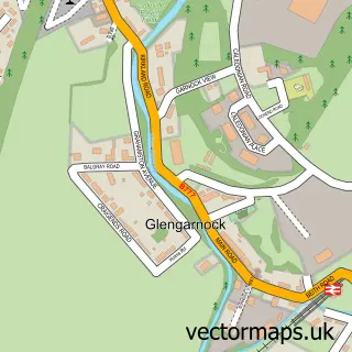
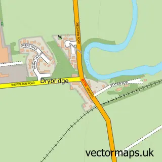
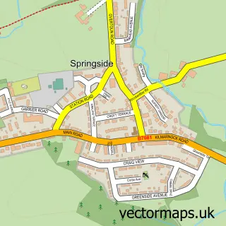
More street maps in Ayrshire and Arran
750 metre map area coverage
Boundary, postcode and point of interest information for the 750m x 750m rectangle centred on this sample map.
Boundaries containing map centre
Constituency: North Ayrshire and Arran Co Const
District: North Ayrshire
Icb: Ayrshire and Arran
Postcode District: KA22
Postcode Sector: KA22 8
Ward: Ardrossan Ward
Nearby boundaries intersecting sample
No additional intersecting boundaries found.
Postcode coverage
POI category counts
Professional Services: 5
Beauty Salon: 4
Building Supply Store: 4
Cafe: 4
Charity Organization: 4
Community Services Non Profits: 4
Beach: 3
Church Cathedral: 3
Hair Salon: 3
Indian Restaurant: 3
Sample points of interest
- Phoenix art
- Arty Party Crafts
- S W C Car Valet
- Ayrshire Motor Factors
- J & W Motors
- The Wise Group
- Alfies Bar & Lounge
- Castlehill Vaults
- Ardrossan North Shore
- Ardrossan South Beach
- South Beach Ardrossan
- Beauty By Tiffany
Create a larger editable map of Ardrossan
This sample shows only a 750 metre area. To create a larger map of Ardrossan, use our map builder to choose your own coverage area, add titles and download editable SVG, PDF and PNG files.
Create a custom map of Ardrossan