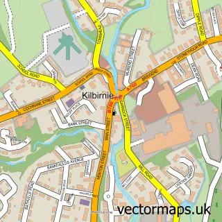
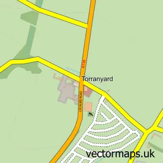
This Glengarnock street map is a detailed vector street map covering a 750m x 750m area. Select a larger area to create and download your own vector street map of Glengarnock.
The 750-metre map sample for Glengarnock covers 118 mapped buildings and approximately 9.3 km of road detail, of which 19 named roads are named. The immediate area includes 1 railway station, 2 GP surgeries within 2 miles, 2 pubs and 1 MOT station, with 4 within 2 miles. The wider area around Glengarnock features 3 food and drink venues. To create a larger or custom map of Glengarnock, the map builder lets you define your own coverage area and download editable SVG, PDF and PNG files.
Create a larger editable map of Glengarnock
Choose any area you need and generate a high-quality vector map instantly. Perfect for print, planning, design, business and personal use.

This Glengarnock street map in Ayrshire and Arran is available as downloadable SVG, PDF and PNG map files, or as a printed map for planning, business, display, education, local information and design work. You can also create a larger custom map area using the map selector.
What this Glengarnock map sample shows
Glengarnock lies within North Ayrshire parish, part of Kilbirnie And Beith ward in the North Ayrshire local authority area. The postcode geography for this area includes the KA postcode area, the KA14 postcode district and the KA14 3 postcode sector. Residents fall under the Ayrshire And Arran for NHS services.
Local features near Glengarnock
Within 2 milesAmenities and services in and around Glengarnock.
Administrative and postcode information for Glengarnock
The local authority covering Glengarnock is North Ayrshire, within the county of Ayrshire And Arran. The settlement lies within Kilbirnie And Beith ward and North Ayrshire civil parish. The KA14 postcode district and KA14 3 postcode sector serve the immediate area. NHS provision in the area is delivered through Ayrshire And Arran.
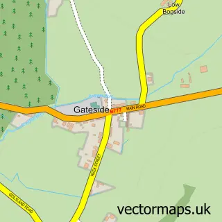
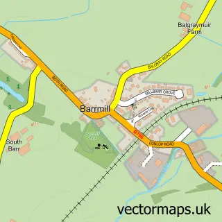
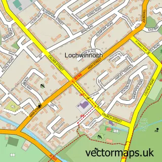
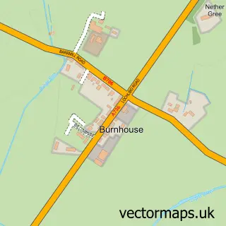
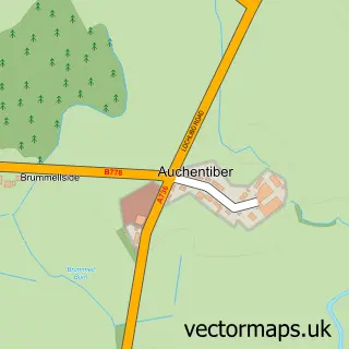
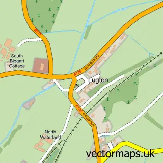
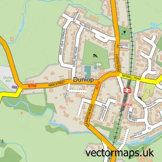
Nearby street map samples around Glengarnock

More street maps in Ayrshire and Arran
750 metre map area coverage
Boundary, postcode and point of interest information for the 750m x 750m rectangle centred on this sample map.
Boundaries containing map centre
Constituency: North Ayrshire and Arran Co Const
District: North Ayrshire
Icb: Ayrshire and Arran
Postcode District: KA14
Postcode Sector: KA14 3
Ward: Garnock Valley Ward
Nearby boundaries intersecting sample
Postcode District: KA25
Postcode Sector: KA25 6
Postcode coverage
POI category counts
Train Station: 3
Beauty Salon: 2
Bicycle Shop: 2
Construction Services: 2
Pub: 2
Sports Club And League: 2
Auto Body Shop: 1
Automotive Parts And Accessories: 1
Automotive Repair: 1
Beach: 1
Sample points of interest
- Load King Bodies Ltd
- Car Parts Warehouse
- BS MOT and Repair Centre
- Ardrossan South Beach
- Ronalds Hairdressers
- Viv's Nails & Beauty
- R T Cycles
- RT Cycles and Fishing
- The Auld Clock Cafe
- Garage One
- Creative Zen
- C K Contracts Ltd
Create a larger editable map of Glengarnock
This sample shows only a 750 metre area. To create a larger map of Glengarnock, use our map builder to choose your own coverage area, add titles and download editable SVG, PDF and PNG files.
Create a custom map of Glengarnock