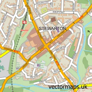
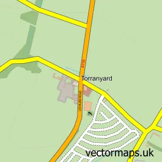
This Dunlop street map is a detailed vector street map covering a 750m x 750m area. Select a larger area to create and download your own vector street map of Dunlop.
The 750-metre map sample for Dunlop covers 279 mapped buildings and approximately 12.3 km of road detail, of which 18 named roads are named. The immediate area includes 1 railway station and 2 pubs. The wider area around Dunlop features 1 tourism point of interest and 4 food and drink venues. To create a larger or custom map of Dunlop, the map builder lets you define your own coverage area and download editable SVG, PDF and PNG files.
Create a larger editable map of Dunlop
Choose any area you need and generate a high-quality vector map instantly. Perfect for print, planning, design, business and personal use.

This Dunlop street map in Ayrshire and Arran is available as downloadable SVG, PDF and PNG map files, or as a printed map for planning, business, display, education, local information and design work. You can also create a larger custom map area using the map selector.
What this Dunlop map sample shows
Dunlop lies within East Ayrshire parish, part of Annick ward in the East Ayrshire local authority area. The postcode geography for this area includes the KA postcode area, the KA3 postcode district and the KA3 4 postcode sector. Residents fall under the Ayrshire And Arran for NHS services.
Local features near Dunlop
Within 2 milesAmenities and services in and around Dunlop.
Administrative and postcode information for Dunlop
Dunlop lies within East Ayrshire parish, part of Annick ward in the East Ayrshire local authority area. The postcode geography for this area includes the KA postcode area, the KA3 postcode district and the KA3 4 postcode sector. Residents fall under the Ayrshire And Arran for NHS services.
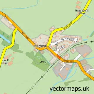
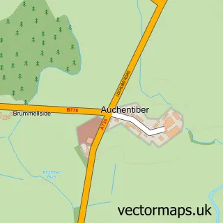
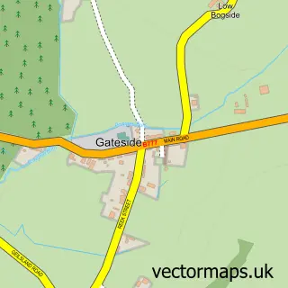
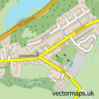
Nearby street map samples around Dunlop

More street maps in Ayrshire and Arran
750 metre map area coverage
Boundary, postcode and point of interest information for the 750m x 750m rectangle centred on this sample map.
Boundaries containing map centre
Constituency: Kilmarnock and Loudoun Co Const
District: East Ayrshire
Icb: Ayrshire and Arran
Postcode District: KA3
Postcode Sector: KA3 4
Ward: Annick Ward
Nearby boundaries intersecting sample
No additional intersecting boundaries found.
Postcode coverage
POI category counts
Bar: 2
Church Cathedral: 2
Post Office: 2
Pub: 2
Sports Club And League: 2
Train Station: 2
Bakery: 1
Building Supply Store: 1
Cafe: 1
Catholic Church: 1
Sample points of interest
- Idle Hands Shop & Bakery
- The Auld House
- The Village Inn, Dunlop
- A1 Window Cleaners
- The Station Cafe
- Dunlop Parish Church
- Dunlop Church Hall
- Dunlop Kirk
- Dunlop Community Cinema
- Dunlop Conservatory Cafe
- Post Office Travel Money
- The Cake Box
Create a larger editable map of Dunlop
This sample shows only a 750 metre area. To create a larger map of Dunlop, use our map builder to choose your own coverage area, add titles and download editable SVG, PDF and PNG files.
Create a custom map of Dunlop