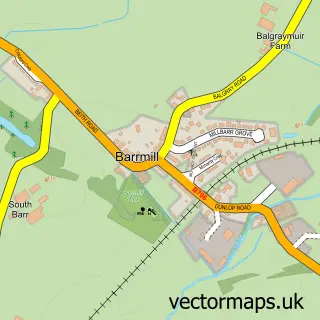
This Uplawmoor street map is a detailed vector street map covering a 750m x 750m area. Select a larger area to create and download your own vector street map of Uplawmoor.
The 750-metre map sample for Uplawmoor covers 243 mapped buildings and approximately 13.1 km of road detail, of which 11 named roads are named. The immediate area includes 1 MOT station within 2 miles. The wider area around Uplawmoor features 2 hotels. To create a larger or custom map of Uplawmoor, the map builder lets you define your own coverage area and download editable SVG, PDF and PNG files.
Create a larger editable map of Uplawmoor
Choose any area you need and generate a high-quality vector map instantly. Perfect for print, planning, design, business and personal use.

This Uplawmoor street map in Renfrewshire is available as downloadable SVG, PDF and PNG map files, or as a printed map for planning, business, display, education, local information and design work. You can also create a larger custom map area using the map selector.
What this Uplawmoor map sample shows
Uplawmoor lies within East Renfrewshire parish, part of Barrhead, Liboside And Uplawmoor ward in the East Renfrewshire local authority area. The postcode geography for this area includes the G postcode area, the G78 postcode district and the G78 4 postcode sector. Residents fall under the Greater Glasgow And Clyde for NHS services.
Local features near Uplawmoor
Within 2 milesAmenities and services in and around Uplawmoor.
Administrative and postcode information for Uplawmoor
Uplawmoor lies within East Renfrewshire parish, part of Barrhead, Liboside And Uplawmoor ward in the East Renfrewshire local authority area. The postcode geography for this area includes the G postcode area, the G78 postcode district and the G78 4 postcode sector. Residents fall under the Greater Glasgow And Clyde for NHS services.
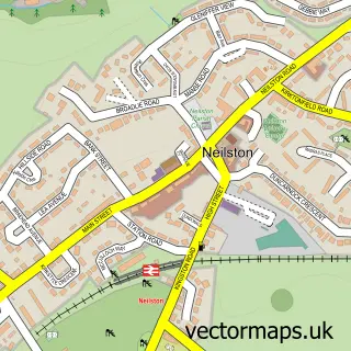
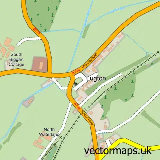
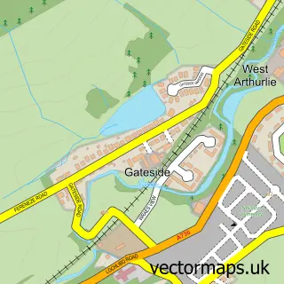
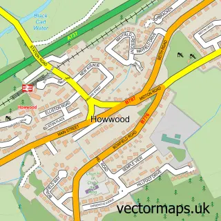
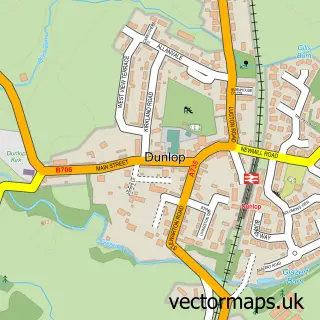
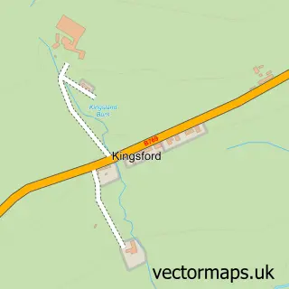
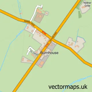
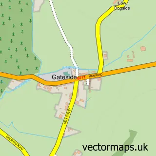
Nearby street map samples around Uplawmoor

More street maps in Renfrewshire
750 metre map area coverage
Boundary, postcode and point of interest information for the 750m x 750m rectangle centred on this sample map.
Boundaries containing map centre
Constituency: East Renfrewshire Co Const
District: East Renfrewshire
Icb: Greater Glasgow and Clyde
Postcode District: G78
Postcode Sector: G78 4
Ward: Barrhead, Liboside and Uplawmoor Ward
Nearby boundaries intersecting sample
Constituency: Kilmarnock and Loudoun Co Const
District: East Ayrshire
Icb: Ayrshire and Arran
Ward: Annick Ward
Postcode coverage
POI category counts
Elementary School: 2
Hotel: 2
Professional Services: 2
Audiovisual Equipment Rental: 1
Business Management Services: 1
Catholic Church: 1
Commercial Real Estate: 1
Community Center: 1
Community Services Non Profits: 1
Fast Food Restaurant: 1
Sample points of interest
- Powerhouse Pro Audio Visual
- Scotia Boiler Services Ltd.
- Caldwell Parish Church
- McQueen Heating Ltd.
- Mure Hall Co Ltd
- Uplawmoor Gala Cinema
- Uplawmoor Primary
- Uplawmoor Primary
- Subway
- The Uplawmoor Hotel
- Uplawmoor Hotel
- Uplawmoor Library
Create a larger editable map of Uplawmoor
This sample shows only a 750 metre area. To create a larger map of Uplawmoor, use our map builder to choose your own coverage area, add titles and download editable SVG, PDF and PNG files.
Create a custom map of Uplawmoor