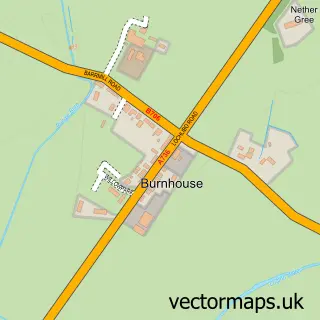
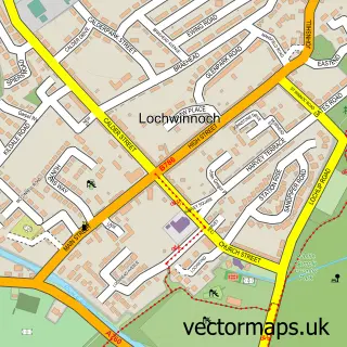
This Barrmill street map is a detailed vector street map covering a 750m x 750m area. Select a larger area to create and download your own vector street map of Barrmill.
The 750-metre map sample for Barrmill covers 125 mapped buildings and approximately 9.6 km of road detail, of which 6 named roads are named. The immediate area includes 1 MOT station. The wider area around Barrmill features 1 tourism point of interest, 1 food and drink venue and 2 hotels. To create a larger or custom map of Barrmill, the map builder lets you define your own coverage area and download editable SVG, PDF and PNG files.
Create a larger editable map of Barrmill
Choose any area you need and generate a high-quality vector map instantly. Perfect for print, planning, design, business and personal use.

This Barrmill street map in Ayrshire and Arran is available as downloadable SVG, PDF and PNG map files, or as a printed map for planning, business, display, education, local information and design work. You can also create a larger custom map area using the map selector.
What this Barrmill map sample shows
Barrmill lies within North Ayrshire parish, part of Dalry And West Kilbride ward in the North Ayrshire local authority area. The postcode geography for this area includes the KA postcode area, the KA15 postcode district and the KA15 1 postcode sector. Residents fall under the Ayrshire And Arran for NHS services.
Local features near Barrmill
Within 2 milesAmenities and services in and around Barrmill.
Administrative and postcode information for Barrmill
The local authority covering Barrmill is North Ayrshire, within the county of Ayrshire And Arran. The settlement lies within Dalry And West Kilbride ward and North Ayrshire civil parish. The KA15 postcode district and KA15 1 postcode sector serve the immediate area. NHS provision in the area is delivered through Ayrshire And Arran.
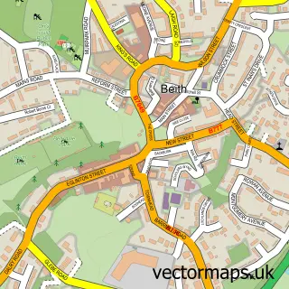
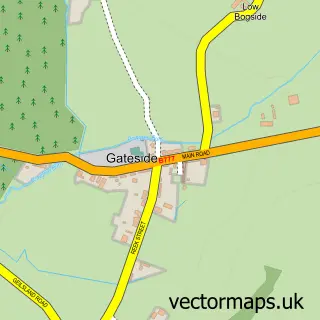
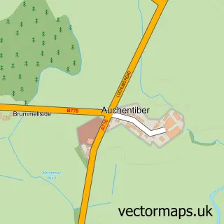
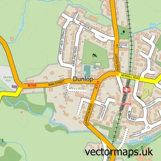
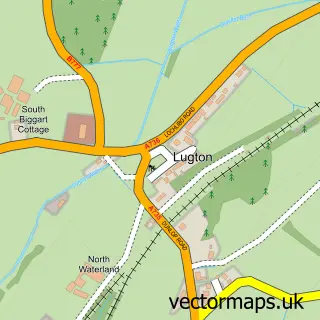
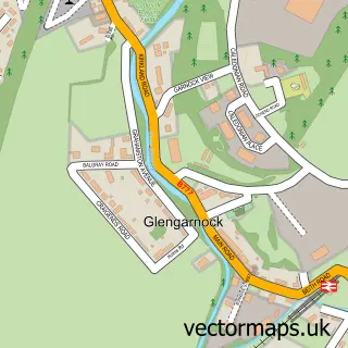
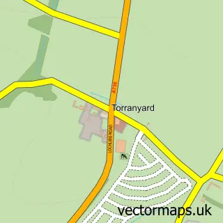
Nearby street map samples around Barrmill

More street maps in Ayrshire and Arran
750 metre map area coverage
Boundary, postcode and point of interest information for the 750m x 750m rectangle centred on this sample map.
Boundaries containing map centre
Constituency: North Ayrshire and Arran Co Const
District: North Ayrshire
Icb: Ayrshire and Arran
Postcode District: KA15
Postcode Sector: KA15 1
Ward: Garnock Valley Ward
Nearby boundaries intersecting sample
No additional intersecting boundaries found.
Postcode coverage
POI category counts
Auto Body Shop: 2
Hotel: 2
Auto Detailing: 1
Automotive Repair: 1
Business Management Services: 1
Cafe: 1
Community Center: 1
Community Services Non Profits: 1
Construction Services: 1
Garbage Collection Service: 1
Sample points of interest
- D and G Coachworks
- T C Reid Commercials Ltd
- Barrmill Car Care
- Duskview Services Ltd
- The Urban Food Theatre
- Nosh
- Barrmill Community Centre
- Barrmill Conservation Group
- Barrmill Plant Services
- Eco Skips
- Duskhill Livery
- Eat Sleep Drink UK
Create a larger editable map of Barrmill
This sample shows only a 750 metre area. To create a larger map of Barrmill, use our map builder to choose your own coverage area, add titles and download editable SVG, PDF and PNG files.
Create a custom map of Barrmill