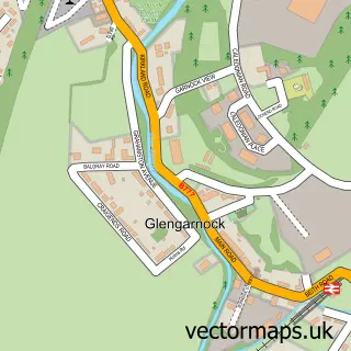
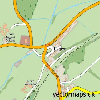
This Lochwinnoch street map is a detailed vector street map covering a 750m x 750m area. Select a larger area to create and download your own vector street map of Lochwinnoch.
The 750-metre map sample for Lochwinnoch covers 439 mapped buildings and approximately 19.4 km of road detail, of which 38 named roads are named. The immediate area includes 1 GP surgery, 4 pubs and 1 MOT station. The wider area around Lochwinnoch features 9 food and drink venues and 1 hotel. To create a larger or custom map of Lochwinnoch, the map builder lets you define your own coverage area and download editable SVG, PDF and PNG files.
Create a larger editable map of Lochwinnoch
Choose any area you need and generate a high-quality vector map instantly. Perfect for print, planning, design, business and personal use.

This Lochwinnoch street map in Renfrewshire is available as downloadable SVG, PDF and PNG map files, or as a printed map for planning, business, display, education, local information and design work. You can also create a larger custom map area using the map selector.
What this Lochwinnoch map sample shows
Lochwinnoch lies within Renfrewshire parish, part of Johnstone North, Kilbarchan, Howwood And Lochwinnoch ward in the Renfrewshire local authority area. The postcode geography for this area includes the PA postcode area, the PA12 postcode district and the PA12 4 postcode sector. Residents fall under the Greater Glasgow And Clyde for NHS services.
Local features near Lochwinnoch
Within 2 milesAmenities and services in and around Lochwinnoch.
Administrative and postcode information for Lochwinnoch
The local authority covering Lochwinnoch is Renfrewshire, within the county of Renfrewshire. The settlement lies within Johnstone North, Kilbarchan, Howwood And Lochwinnoch ward and Renfrewshire civil parish. The PA12 postcode district and PA12 4 postcode sector serve the immediate area. NHS provision in the area is delivered through Greater Glasgow And Clyde.
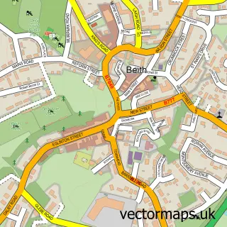
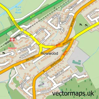
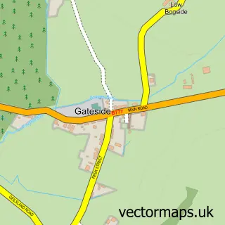
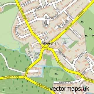
Nearby street map samples around Lochwinnoch

More street maps in Renfrewshire
750 metre map area coverage
Boundary, postcode and point of interest information for the 750m x 750m rectangle centred on this sample map.
Boundaries containing map centre
Constituency: Paisley and Renfrewshire South Co Const
District: Renfrewshire
Icb: Greater Glasgow and Clyde
Postcode District: PA12
Postcode Sector: PA12 4
Ward: Johnstone North, Kilbarchan, Howwood and Lochwinnoch Ward
Nearby boundaries intersecting sample
No additional intersecting boundaries found.
Postcode coverage
POI category counts
Convenience Store: 4
Pub: 4
Coffee Shop: 3
Bakery: 2
Beauty Salon: 2
Cafe: 2
Charity Organization: 2
Church Cathedral: 2
Home Service: 2
Massage Therapy: 2
Sample points of interest
- Kuka Studios
- CC Architectural
- Colettes Cairn
- Craegmoor
- The Little Hire Company
- 21 Grains
- John Wilson Baker
- RBS
- Royal Bank of Scotland
- Gartland Arms
- Village Barbers
- Lochwinnoch Soap Co
Create a larger editable map of Lochwinnoch
This sample shows only a 750 metre area. To create a larger map of Lochwinnoch, use our map builder to choose your own coverage area, add titles and download editable SVG, PDF and PNG files.
Create a custom map of Lochwinnoch