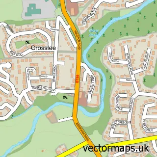
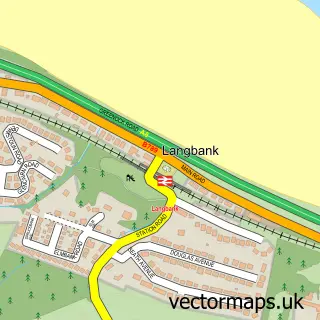
This Bridge of Weir street map is a detailed vector street map covering a 750m x 750m area. Select a larger area to create and download your own vector street map of Bridge of Weir.
The 750-metre map sample for Bridge of Weir covers 403 mapped buildings and approximately 17.0 km of road detail, of which 36 named roads are named. The immediate area includes 1 GP surgery within 2 miles, 2 pubs and 1 MOT station. The wider area around Bridge of Weir features 1 tourism point of interest and 7 food and drink venues. To create a larger or custom map of Bridge of Weir, the map builder lets you define your own coverage area and download editable SVG, PDF and PNG files.
Create a larger editable map of Bridge of Weir
Choose any area you need and generate a high-quality vector map instantly. Perfect for print, planning, design, business and personal use.

This Bridge of Weir street map in Renfrewshire is available as downloadable SVG, PDF and PNG map files, or as a printed map for planning, business, display, education, local information and design work. You can also create a larger custom map area using the map selector.
What this Bridge of Weir map sample shows
Bridge of Weir lies within Renfrewshire parish, part of Bishopton, Bridge Of Weir And Langbank ward in the Renfrewshire local authority area. The postcode geography for this area includes the PA postcode area, the PA11 postcode district and the PA11 3 postcode sector. Residents fall under the Greater Glasgow And Clyde for NHS services.
Local features near Bridge of Weir
Within 2 milesAmenities and services in and around Bridge of Weir.
Administrative and postcode information for Bridge of Weir
The local authority covering Bridge of Weir is Renfrewshire, within the county of Renfrewshire. The settlement lies within Bishopton, Bridge Of Weir And Langbank ward and Renfrewshire civil parish. The PA11 postcode district and PA11 3 postcode sector serve the immediate area. NHS provision in the area is delivered through Greater Glasgow And Clyde.
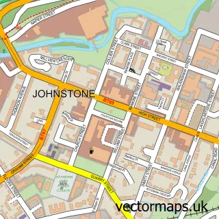
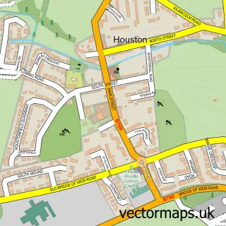
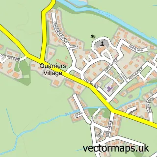
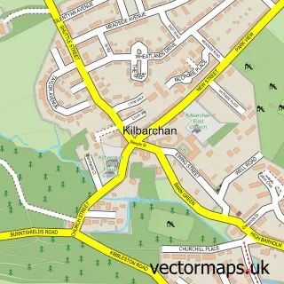
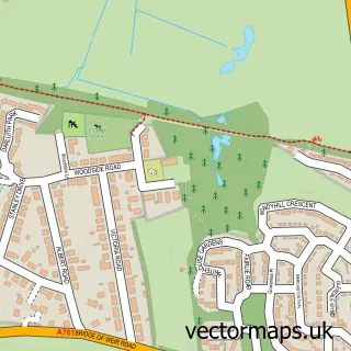
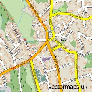
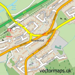
Nearby street map samples around Bridge of Weir

More street maps in Renfrewshire
750 metre map area coverage
Boundary, postcode and point of interest information for the 750m x 750m rectangle centred on this sample map.
Boundaries containing map centre
Constituency: Inverclyde and Renfrewshire West Co Const
District: Renfrewshire
Icb: Greater Glasgow and Clyde
Postcode District: PA11
Postcode Sector: PA11 3
Ward: Bishopton, Bridge of Weir and Langbank Ward
Nearby boundaries intersecting sample
No additional intersecting boundaries found.
Postcode coverage
POI category counts
Beauty Salon: 5
Financial Advising: 4
Real Estate Agent: 4
Chinese Restaurant: 3
Church Cathedral: 3
Hair Salon: 3
Automotive Repair: 2
Barber: 2
Beauty And Spa: 2
Building Supply Store: 2
Sample points of interest
- Bridge of Weir River Angling Club
- Slater Hogg And Howison Estate Agents Bridge-Of-Weir
- The Gryffe Casting Studio
- The Cooperative Food Bridge Of Weir
- Gryffe Garage
- Unipart Car Care Centre
- Anderson's Home Bakery
- Razan Barbers
- The barbers bridge of weir
- Gregor’s Barbers
- Lulu's
- Claire's Bridge of Weir Barbers
Create a larger editable map of Bridge of Weir
This sample shows only a 750 metre area. To create a larger map of Bridge of Weir, use our map builder to choose your own coverage area, add titles and download editable SVG, PDF and PNG files.
Create a custom map of Bridge of Weir