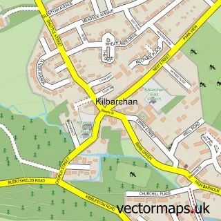
This Kilmacolm street map is a detailed vector street map covering a 750m x 750m area. Select a larger area to create and download your own vector street map of Kilmacolm.
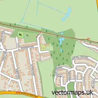
The 750-metre map sample for Kilmacolm covers 404 mapped buildings and approximately 19.8 km of road detail, of which 46 named roads are named. The immediate area includes 2 GP surgeries and 1 pub. The wider area around Kilmacolm features 1 tourism point of interest, 7 food and drink venues and 1 hotel. To create a larger or custom map of Kilmacolm, the map builder lets you define your own coverage area and download editable SVG, PDF and PNG files.
Create a larger editable map of Kilmacolm
Choose any area you need and generate a high-quality vector map instantly. Perfect for print, planning, design, business and personal use.

This Kilmacolm street map in Renfrewshire is available as downloadable SVG, PDF and PNG map files, or as a printed map for planning, business, display, education, local information and design work. You can also create a larger custom map area using the map selector.
What this Kilmacolm map sample shows
Kilmacolm lies within Inverclyde parish, part of Inverclyde East ward in the Inverclyde local authority area. The postcode geography for this area includes the PA postcode area, the PA13 postcode district and the PA13 4 postcode sector. Residents fall under the Greater Glasgow And Clyde for NHS services.
Local features near Kilmacolm
Within 2 milesAmenities and services in and around Kilmacolm.
Administrative and postcode information for Kilmacolm
Kilmacolm lies within Inverclyde parish, part of Inverclyde East ward in the Inverclyde local authority area. The postcode geography for this area includes the PA postcode area, the PA13 postcode district and the PA13 4 postcode sector. Residents fall under the Greater Glasgow And Clyde for NHS services.
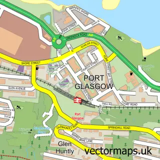
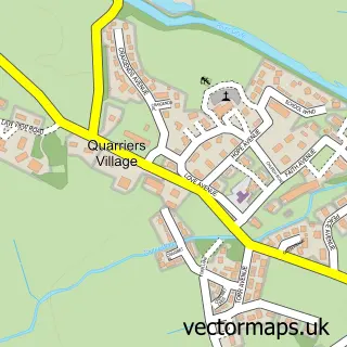
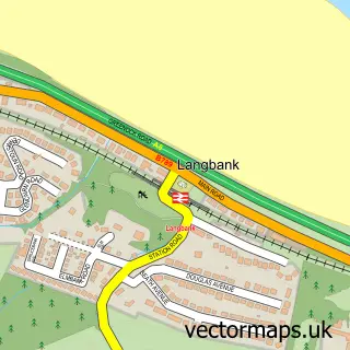
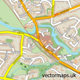
Nearby street map samples around Kilmacolm

More street maps in Renfrewshire
750 metre map area coverage
Boundary, postcode and point of interest information for the 750m x 750m rectangle centred on this sample map.
Boundaries containing map centre
Constituency: Inverclyde and Renfrewshire West Co Const
District: Inverclyde
Icb: Greater Glasgow and Clyde
Postcode District: PA13
Postcode Sector: PA13 4
Ward: Inverclyde East Ward
Nearby boundaries intersecting sample
No additional intersecting boundaries found.
Postcode coverage
POI category counts
Beauty Salon: 9
Beauty And Spa: 6
Church Cathedral: 6
Physical Therapy: 4
Cafe: 3
Community Center: 3
Real Estate Agent: 3
Dentist: 2
Doctor: 2
Flowers And Gifts Shop: 2
Sample points of interest
- Cherry Blossom Children's Boutique
- Clydesdale Bank
- The Cork and Keg
- Carriages
- M&F Barber
- Stewart Design Studio
- BeardyBeardy Kilmacolm
- Iona.
- Mosy Barbers
- Nix hairdressing
- Sage Beauty by Charelle
- Susan Robertson Hair
Create a larger editable map of Kilmacolm
This sample shows only a 750 metre area. To create a larger map of Kilmacolm, use our map builder to choose your own coverage area, add titles and download editable SVG, PDF and PNG files.
Create a custom map of Kilmacolm