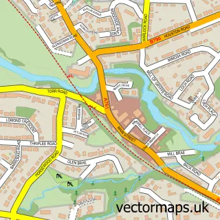
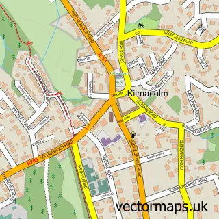
This Brookfield street map is a detailed vector street map covering a 750m x 750m area. Select a larger area to create and download your own vector street map of Brookfield.
The 750-metre map sample for Brookfield covers 350 mapped buildings and approximately 8.0 km of road detail, of which 15 named roads are named. The immediate area includes 7 GP surgeries within 2 miles and 9 MOT stations within 2 miles. The wider area around Brookfield features 2 tourism points of interest. To create a larger or custom map of Brookfield, the map builder lets you define your own coverage area and download editable SVG, PDF and PNG files.
Create a larger editable map of Brookfield
Choose any area you need and generate a high-quality vector map instantly. Perfect for print, planning, design, business and personal use.

This Brookfield street map in Renfrewshire is available as downloadable SVG, PDF and PNG map files, or as a printed map for planning, business, display, education, local information and design work. You can also create a larger custom map area using the map selector.
What this Brookfield map sample shows
Brookfield lies within Renfrewshire parish, part of Houston, Crosslee And Linwood ward in the Renfrewshire local authority area. The postcode geography for this area includes the PA postcode area, the PA5 postcode district and the PA5 8 postcode sector. Residents fall under the Greater Glasgow And Clyde for NHS services.
Local features near Brookfield
Within 2 milesAmenities and services in and around Brookfield.
Administrative and postcode information for Brookfield
Brookfield lies within Renfrewshire parish, part of Houston, Crosslee And Linwood ward in the Renfrewshire local authority area. The postcode geography for this area includes the PA postcode area, the PA5 postcode district and the PA5 8 postcode sector. Residents fall under the Greater Glasgow And Clyde for NHS services.
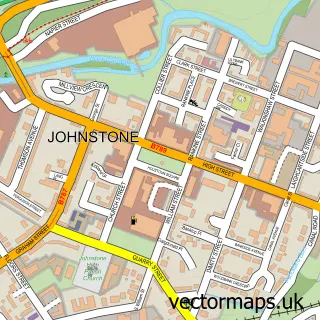
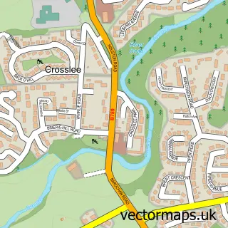
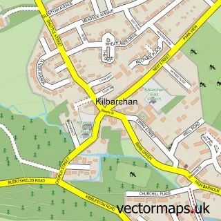
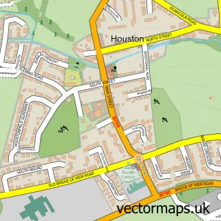
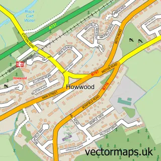
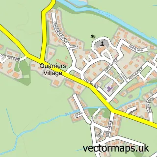
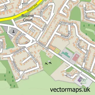
Nearby street map samples around Brookfield

More street maps in Renfrewshire
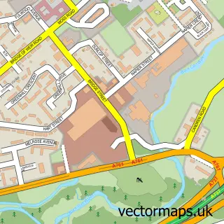
750 metre map area coverage
Boundary, postcode and point of interest information for the 750m x 750m rectangle centred on this sample map.
Boundaries containing map centre
Constituency: Paisley and Renfrewshire South Co Const
District: Renfrewshire
Icb: Greater Glasgow and Clyde
Postcode District: PA5
Postcode Sector: PA5 8
Ward: Houston, Crosslee and Linwood Ward
Nearby boundaries intersecting sample
Postcode District: PA6
Postcode Sector: PA6 7
Postcode coverage
POI category counts
Home Developer: 2
Park: 2
Business: 1
Cosmetic And Beauty Supplies: 1
Dance School: 1
Electrical Supply Store: 1
Gym: 1
High School: 1
Optometrist: 1
Personal Care Service: 1
Sample points of interest
- BROOKFIELD ALARMS LTD
- Glasgow International Airport
- The Ballet and Dance Academy
- Brookfield Alarms
- Zumba Brookfield & Paisley
- St Benedict's High School
- Barratt Homes - Barratt @ Weirs Wynd
- David Wilson Homes - Weirs Wynd
- Kirk Road Eye Care
- Brookfield Park
- Darluith Park, Brookfield.
- Karl Double Photography
Create a larger editable map of Brookfield
This sample shows only a 750 metre area. To create a larger map of Brookfield, use our map builder to choose your own coverage area, add titles and download editable SVG, PDF and PNG files.
Create a custom map of Brookfield