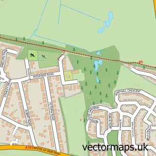
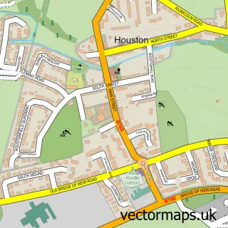
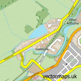
This Johnstone street map is a detailed vector street map covering a 750m x 750m area. Select a larger area to create and download your own vector street map of Johnstone.
The 750-metre map sample for Johnstone covers 246 mapped buildings and approximately 20.8 km of road detail, of which 45 named roads are named. The immediate area includes 5 GP surgeries, with 6 within 2 miles, 7 pubs and 5 MOT stations, with 13 within 2 miles. The wider area around Johnstone features 4 tourism points of interest and 16 food and drink venues. To create a larger or custom map of Johnstone, the map builder lets you define your own coverage area and download editable SVG, PDF and PNG files.
Create a larger editable map of Johnstone
Choose any area you need and generate a high-quality vector map instantly. Perfect for print, planning, design, business and personal use.

This Johnstone street map in Renfrewshire is available as downloadable SVG, PDF and PNG map files, or as a printed map for planning, business, display, education, local information and design work. You can also create a larger custom map area using the map selector.
What this Johnstone map sample shows
Johnstone lies within Renfrewshire parish, part of Johnstone North, Kilbarchan, Howwood And Lochwinnoch ward in the Renfrewshire local authority area. The postcode geography for this area includes the PA postcode area, the PA5 postcode district and the PA5 8 postcode sector. Residents fall under the Greater Glasgow And Clyde for NHS services.
Local features near Johnstone
Within 2 milesAmenities and services in and around Johnstone.
Administrative and postcode information for Johnstone
The local authority covering Johnstone is Renfrewshire, within the county of Renfrewshire. The settlement lies within Johnstone North, Kilbarchan, Howwood And Lochwinnoch ward and Renfrewshire civil parish. The PA5 postcode district and PA5 8 postcode sector serve the immediate area. NHS provision in the area is delivered through Greater Glasgow And Clyde.
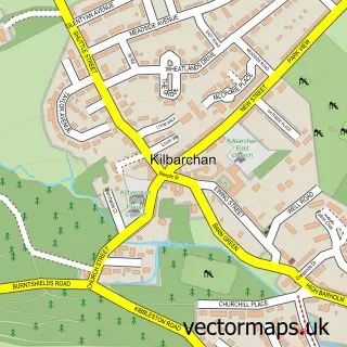
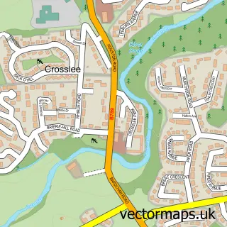
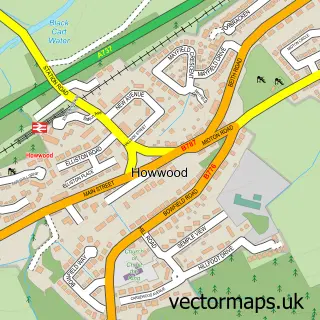
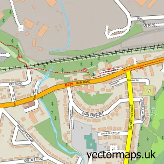
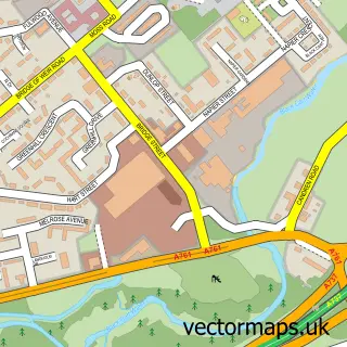
Nearby street map samples around Johnstone

More street maps in Renfrewshire
750 metre map area coverage
Boundary, postcode and point of interest information for the 750m x 750m rectangle centred on this sample map.
Boundaries containing map centre
Constituency: Paisley and Renfrewshire South Co Const
District: Renfrewshire
Icb: Greater Glasgow and Clyde
Postcode District: PA5
Postcode Sector: PA5 8
Ward: Johnstone North, Kilbarchan, Howwood and Lochwinnoch Ward
Nearby boundaries intersecting sample
Ward: Houston, Crosslee and Linwood Ward, Johnstone South and Elderslie Ward
Postcode coverage
POI category counts
Beauty Salon: 15
Automotive Repair: 14
Hair Salon: 13
Professional Services: 9
Doctor: 8
Dentist: 7
Pharmacy: 7
Pub: 7
Beauty And Spa: 6
Cafe: 5
Sample points of interest
- Stranville John
- Glasgow River Clyde
- Health & Acupuncture
- Framing Art
- Farrier Court Sheltered Housing
- PayPoint
- Preserve and Protect Vehicle Undersealing
- Ceramic Coating Specialist - DMD Detailing
- DMD Car Detailing
- HXY Detailing
- New Car Paint Protection - DMD Detailing
- J N S Lift
Create a larger editable map of Johnstone
This sample shows only a 750 metre area. To create a larger map of Johnstone, use our map builder to choose your own coverage area, add titles and download editable SVG, PDF and PNG files.
Create a custom map of Johnstone