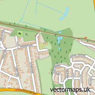
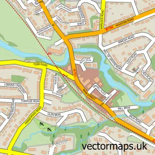
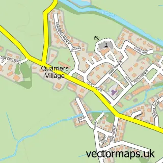
This Linwood street map is a detailed vector street map covering a 750m x 750m area. Select a larger area to create and download your own vector street map of Linwood.
The 750-metre map sample for Linwood covers 183 mapped buildings and approximately 18.9 km of road detail, of which 20 named roads are named. The immediate area includes 1 GP surgery, with 8 within 2 miles, 1 pub and 3 MOT stations, with 17 within 2 miles. The wider area around Linwood features 2 tourism points of interest and 2 food and drink venues. To create a larger or custom map of Linwood, the map builder lets you define your own coverage area and download editable SVG, PDF and PNG files.
Create a larger editable map of Linwood
Choose any area you need and generate a high-quality vector map instantly. Perfect for print, planning, design, business and personal use.

This Linwood street map in Renfrewshire is available as downloadable SVG, PDF and PNG map files, or as a printed map for planning, business, display, education, local information and design work. You can also create a larger custom map area using the map selector.
What this Linwood map sample shows
Linwood lies within Renfrewshire parish, part of Houston, Crosslee And Linwood ward in the Renfrewshire local authority area. The postcode geography for this area includes the PA postcode area, the PA3 postcode district and the PA3 3 postcode sector. Residents fall under the Greater Glasgow And Clyde for NHS services.
Local features near Linwood
Within 2 milesAmenities and services in and around Linwood.
Administrative and postcode information for Linwood
Linwood lies within Renfrewshire parish, part of Houston, Crosslee And Linwood ward in the Renfrewshire local authority area. The postcode geography for this area includes the PA postcode area, the PA3 postcode district and the PA3 3 postcode sector. Residents fall under the Greater Glasgow And Clyde for NHS services.
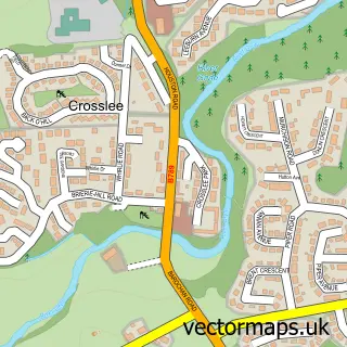
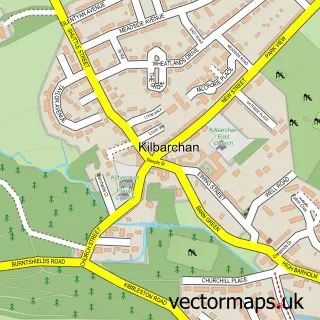
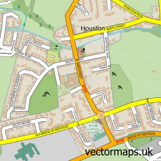
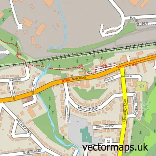
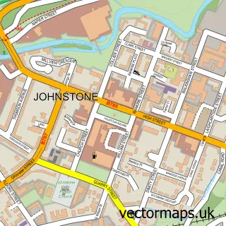
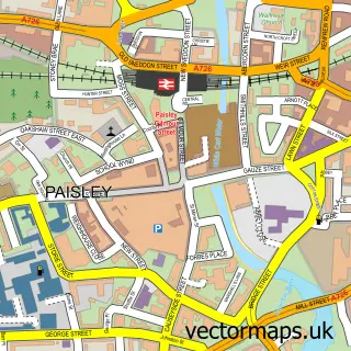
Nearby street map samples around Linwood

More street maps in Renfrewshire
750 metre map area coverage
Boundary, postcode and point of interest information for the 750m x 750m rectangle centred on this sample map.
Boundaries containing map centre
Constituency: Paisley and Renfrewshire South Co Const
District: Renfrewshire
Icb: Greater Glasgow and Clyde
Postcode District: PA3
Postcode Sector: PA3 3
Ward: Houston, Crosslee and Linwood Ward
Nearby boundaries intersecting sample
Postcode District: PA1
Postcode Sector: PA1 2
Postcode coverage
POI category counts
Automotive Repair: 4
Professional Services: 4
Bakery: 3
Beauty Salon: 3
Pet Groomer: 3
Appliance Manufacturer: 2
Betting Center: 2
Carpet Store: 2
Charity Organization: 2
Chinese Restaurant: 2
Sample points of interest
- Linstone Housing Association
- The Big Adventure
- Ceramic Choice
- Hydrafit
- Riverpark Aquatics
- Riverpark Aquatics
- Linwood Coachworks
- Baillies car trimmers
- Bremner Auto Repairs Ltd
- Glentyan Motor Engineers
- Linfield Vehicle Services
- Linwood Tyres
Create a larger editable map of Linwood
This sample shows only a 750 metre area. To create a larger map of Linwood, use our map builder to choose your own coverage area, add titles and download editable SVG, PDF and PNG files.
Create a custom map of Linwood